
Rutland Vermont Map
Navigate Rutland, Vermont Map, map of Rutland, Rutland Vermont regions map, Rutland satellite image, towns map, road map of Rutland.
Vermont Map
States Map of USA
Map of Rutland Vermont, Vermont
Rutland map
Map of Rutland
RUTLAND MAP
RUTLAND MAP VERMONT
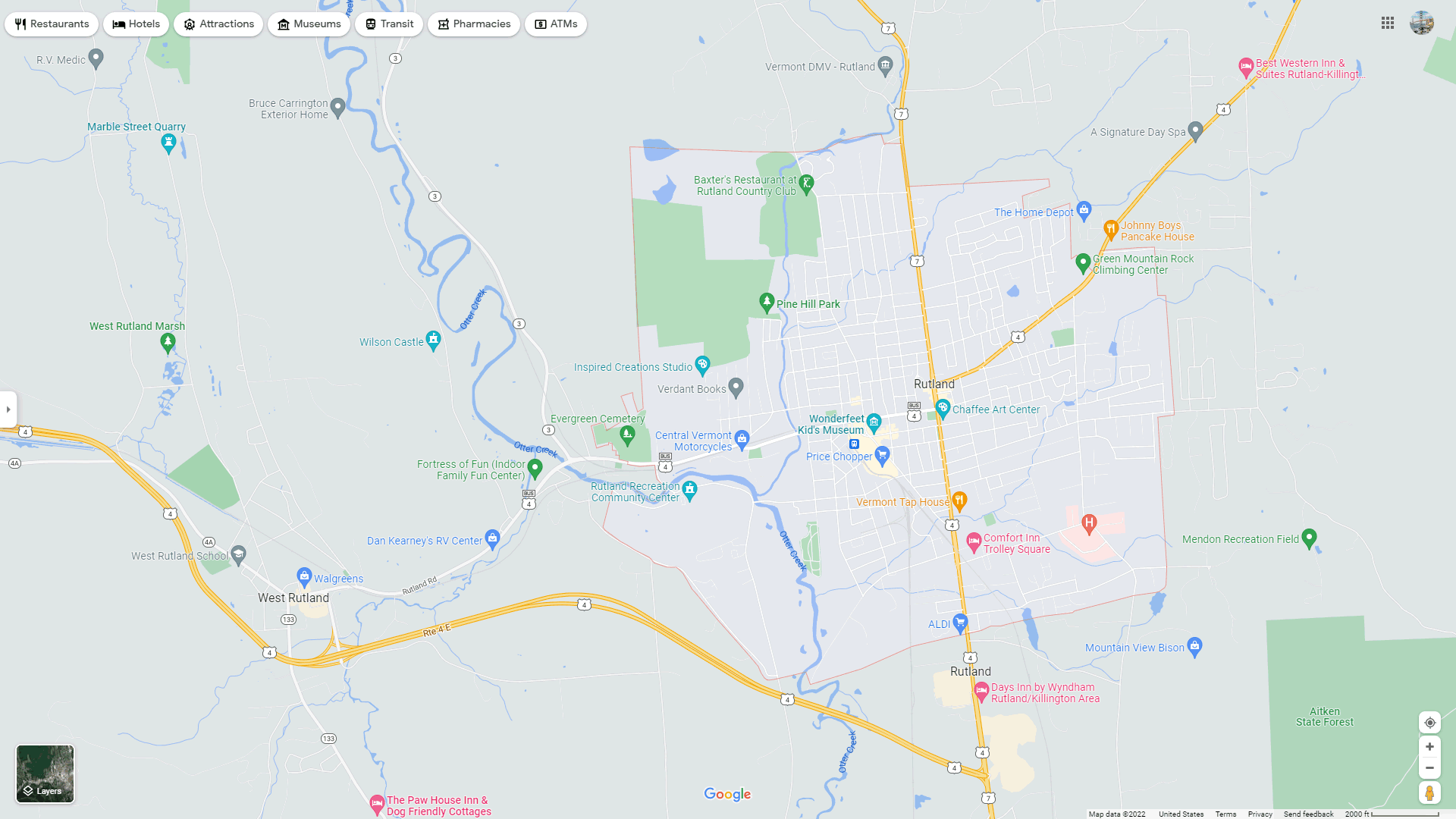
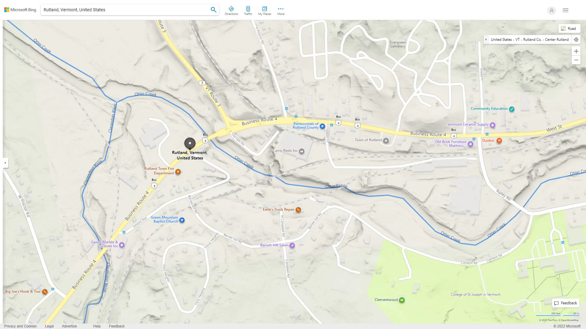
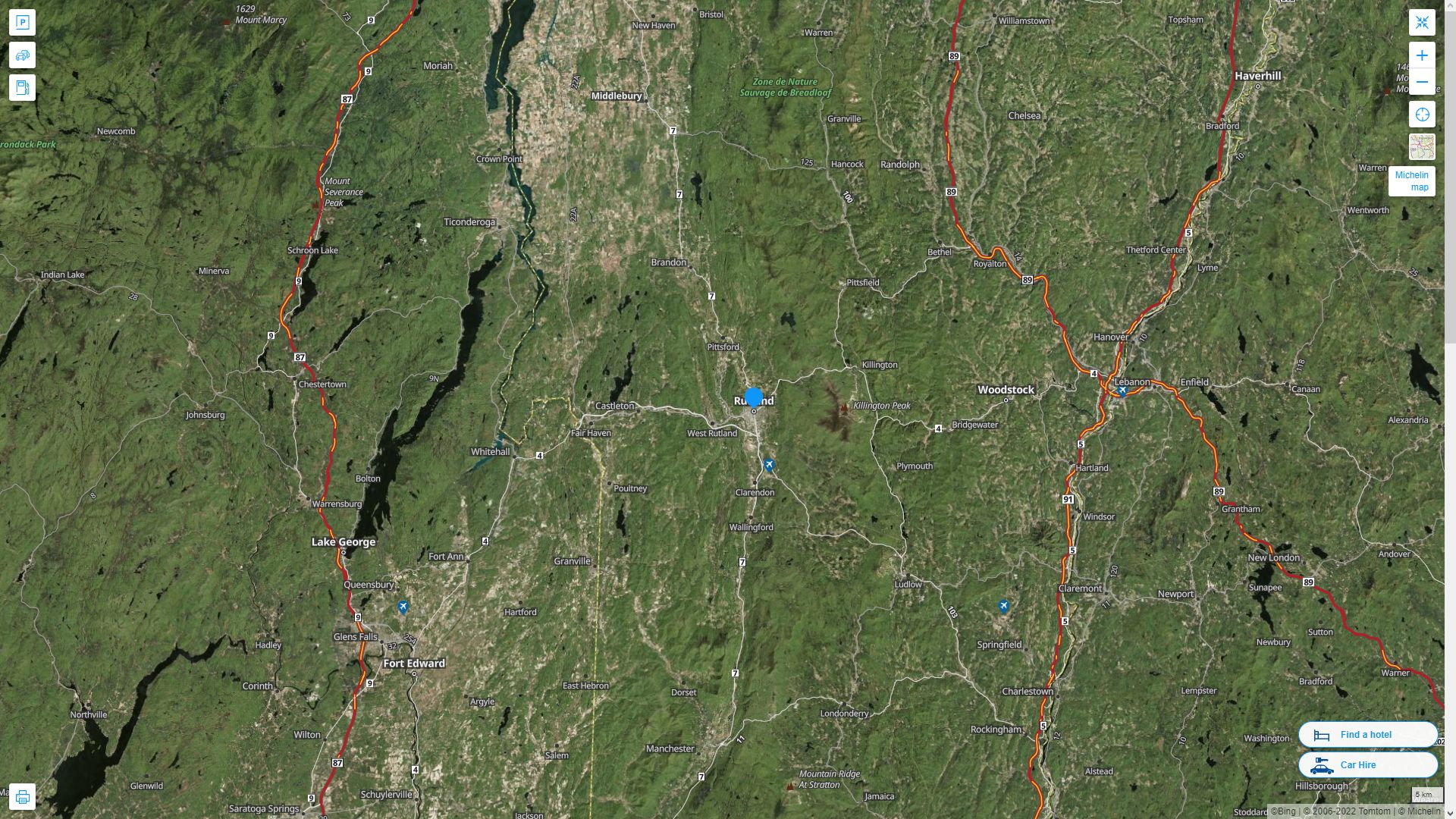
RUTLAND DETAILED MAP
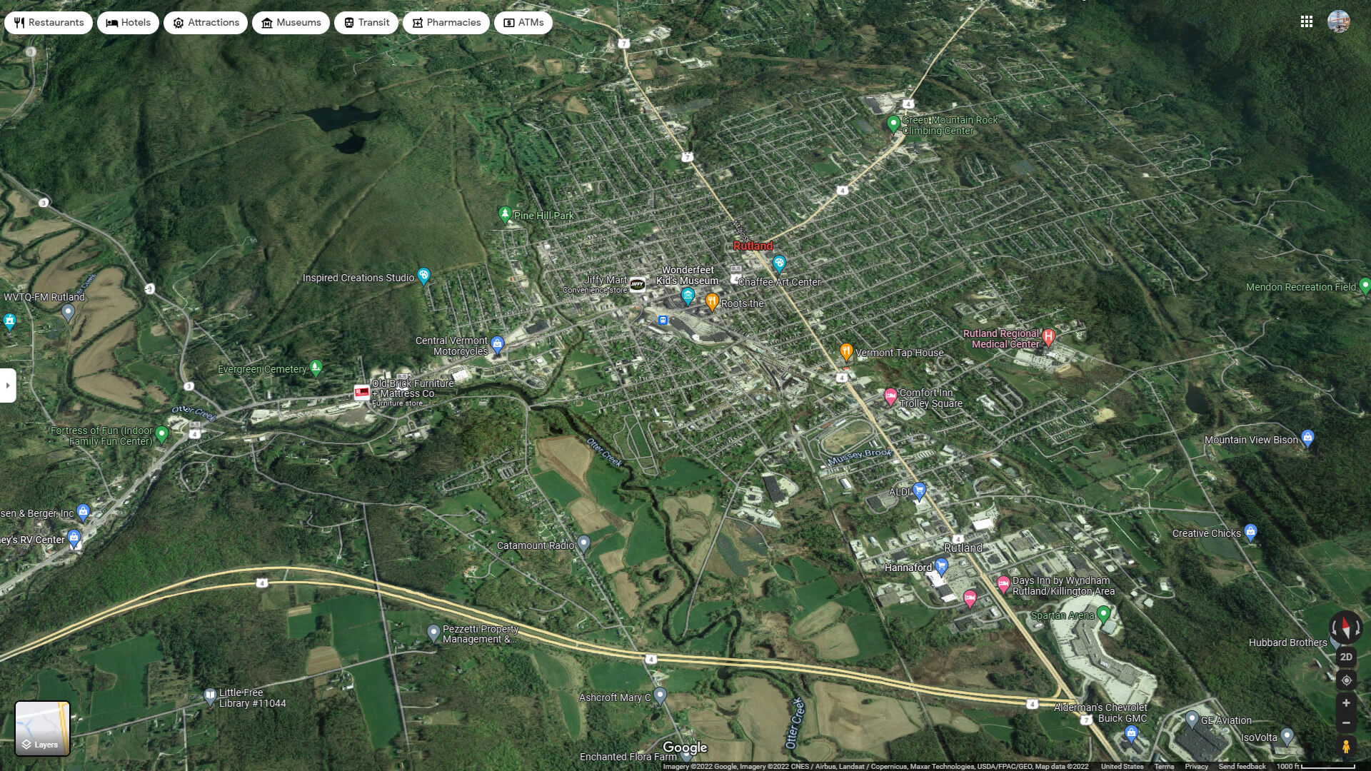
RUTLAND AERIAL MAP VERMONT
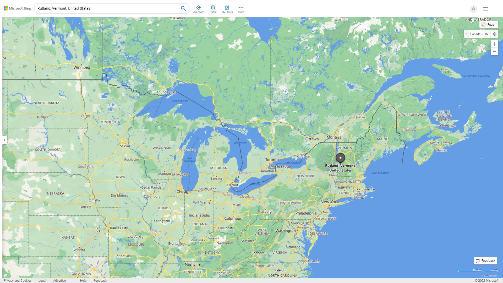
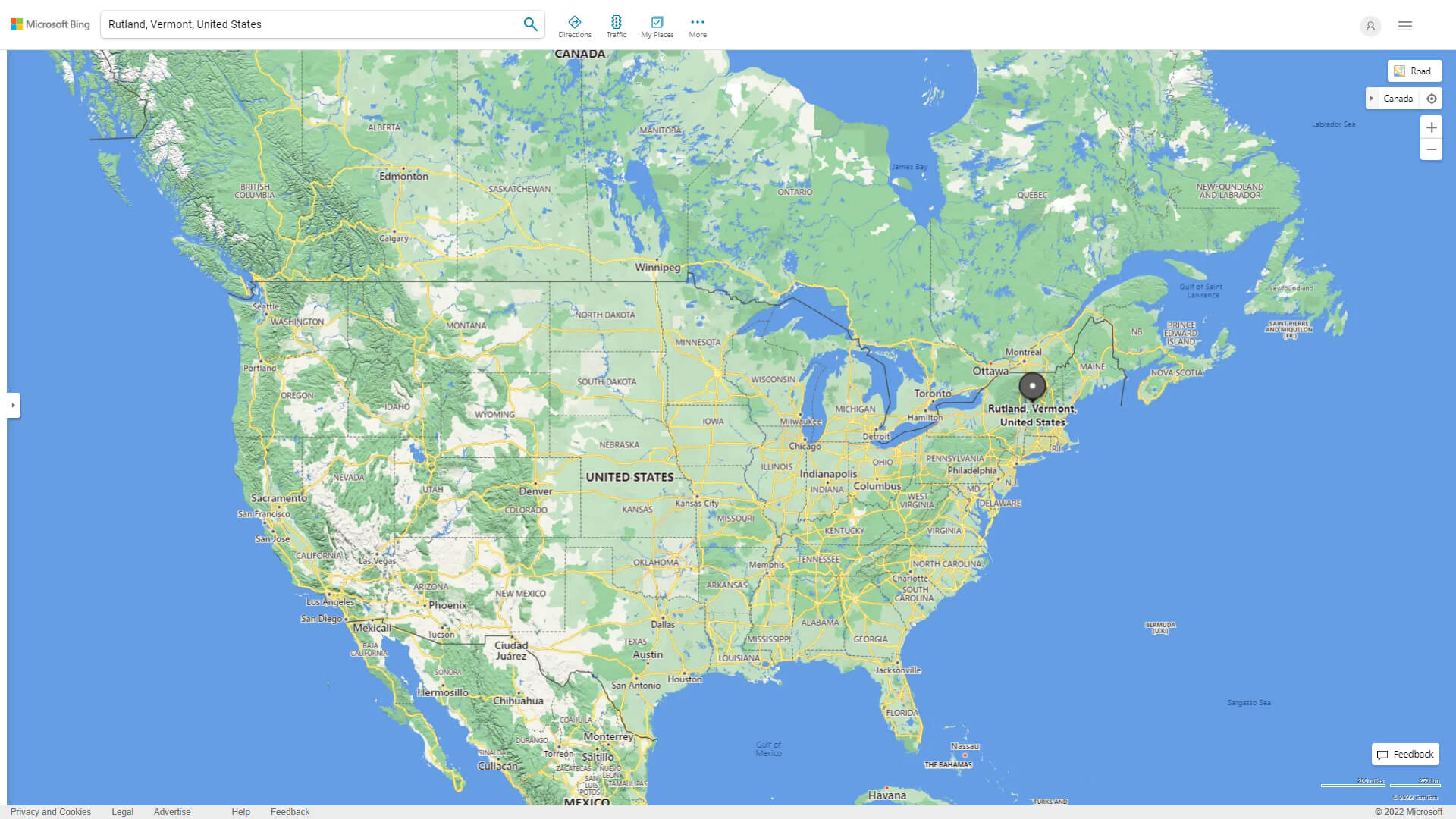
WHERE IS RUTLAND IN THE US
RUTLAND VERMONT HIGHWAY AND ROAD MAP WITH SATELLITE VIEW
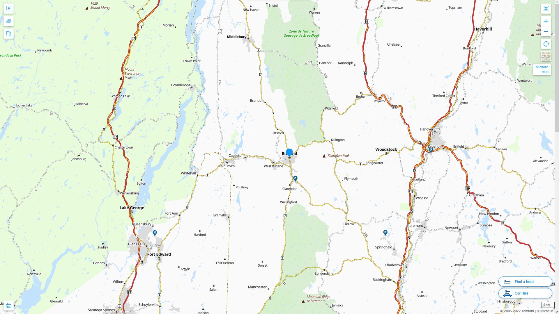
RUTLAND VERMONT HIGHWAY AND ROAD MAP
Largest Vermont Cities by Population
Burlington Map South Burlington Map Rutland Map Essex Junction Map Bennington Map Barre Map Montpelier Map Brattleboro Map Winooski Map St. Albans Map Middlebury Map St. Johnsbury Map Newport Map Springfield Map Bellows Falls Map- Head of Performance Marketing
- Head of SEO
- Linkedin Profile: linkedin.com/in/arifcagrici
For all Vermont Cities Map
Rutland Vermont Google Map, Street Views, Maps Directions, Satellite Images
guideoftheworld.net offers a collection of Rutland Vermont map, google map, Rutland Vermont atlas, political, physical, satellite view, country infos, cities map and more map of Rutland Vermont.
US States by Population
California Map Texas Map New York Map Florida Map Illinois Map Pennsylvania Map Ohio Map Michigan Map Georgia Map New Jersey Map North Carolina Map Virginia Map Massachusetts Map District of Columbia Map Indiana Map Tennessee Map Arizona Map Missouri Map Maryland Map Washington Map Minnesota Map Colorado Map Alabama Map Louisiana Map South Carolina Map Kentucky Map Oregon Map Oklahoma Map Connecticut Map Iowa Map Mississippi Map Arkansas Map Kansas Map Utah Map Nevada Map New Mexico Map West Virginia Map Nebraska Map Idaho Map Maine Map New Hampshire Map Hawaii Map Rhode Island Map Montana Map Delaware Map South Dakota Map Alaska Map North Dakota Map Vermont Map Wisconsin Map Wyoming MapCopyright GuideofTheWorld.Net 2006 - 2026. All rights reserved. Privacy Policy | Disclaimer