
Frederick Maryland Map
Navigate Frederick, Maryland Map, map of Frederick, Frederick Maryland regions map, Frederick satellite image, towns map, road map of Frederick.
Navigating Baltimore's Best Kept Secrets
Please subscribe on "World Guide" channnel on Youtube at youtube.com/c/WorldGuide
The Earth, North America and Countries View from Space - Day Time and in the Night
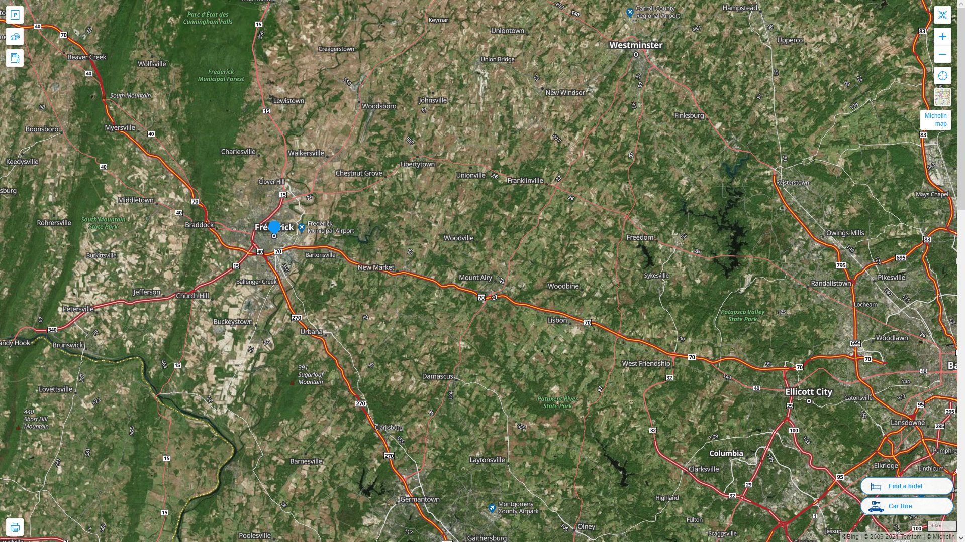
Maryland Map
States Map of USA
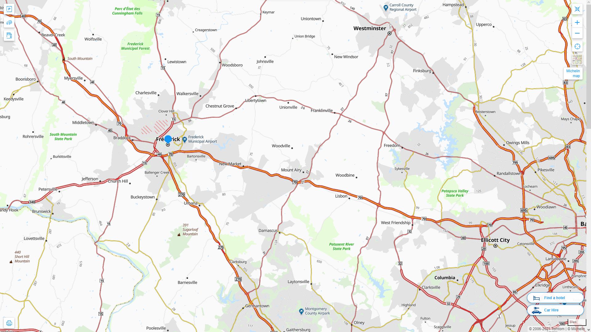
Map of Frederick Maryland, Maryland
frederick maryland map usa
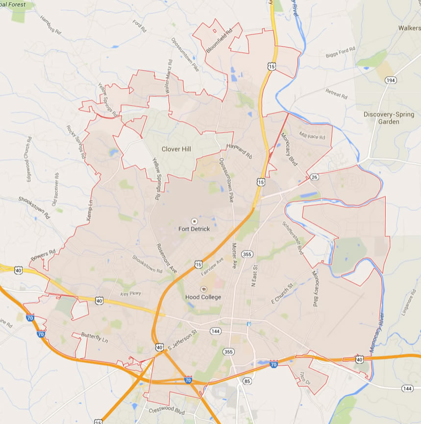
Map of Frederick
FREDERICK MARYLAND MAP USA
FREDERICK MAP MARYLAND US
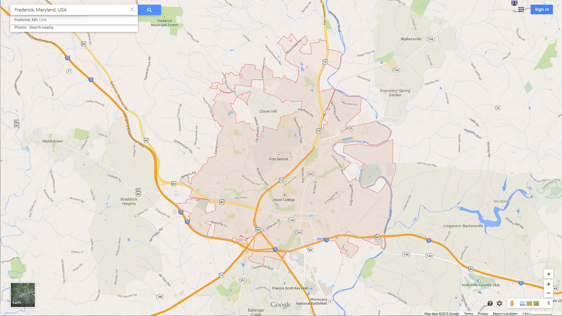
FREDERICK MAP MARYLAND US SATELLITE
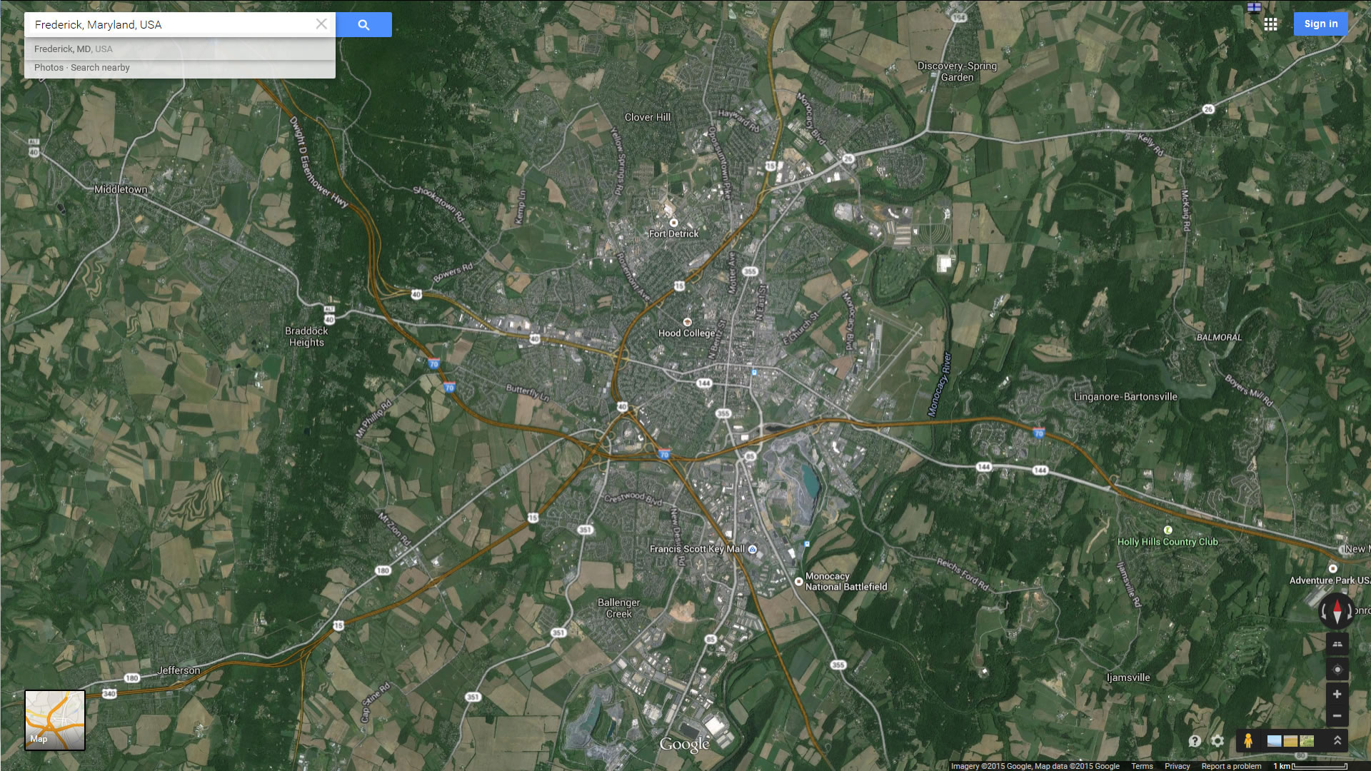
FREDERICK MARYLAND HIGHWAY AND ROAD MAP WITH SATELLITE VIEW
FREDERICK MARYLAND HIGHWAY AND ROAD MAP
Largest Maryland Cities by Population
Baltimore Map Columbia Map Germantown Map Silver Spring Map Waldorf Map Glen Burnie Map Ellicott City Map Frederick Map Dundalk Map Rockville Map Bethesda Map Gaithersburg Map Towson Map Bowie Map Aspen Hill Map- Head of Performance Marketing
- Head of SEO
- Linkedin Profile: linkedin.com/in/arifcagrici
For all Maryland Cities Map
Frederick Maryland Google Map, Street Views, Maps Directions, Satellite Images
guideoftheworld.net offers a collection of Frederick Maryland map, google map, Frederick Maryland atlas, political, physical, satellite view, country infos, cities map and more map of Frederick Maryland.
US States by Population
California Map Texas Map New York Map Florida Map Illinois Map Pennsylvania Map Ohio Map Michigan Map Georgia Map New Jersey Map North Carolina Map Virginia Map Massachusetts Map District of Columbia Map Indiana Map Tennessee Map Arizona Map Missouri Map Maryland Map Washington Map Minnesota Map Colorado Map Alabama Map Louisiana Map South Carolina Map Kentucky Map Oregon Map Oklahoma Map Connecticut Map Iowa Map Mississippi Map Arkansas Map Kansas Map Utah Map Nevada Map New Mexico Map West Virginia Map Nebraska Map Idaho Map Maine Map New Hampshire Map Hawaii Map Rhode Island Map Montana Map Delaware Map South Dakota Map Alaska Map North Dakota Map Vermont Map Wisconsin Map Wyoming MapCopyright GuideofTheWorld.Net 2006 - 2026. All rights reserved. Privacy Policy | Disclaimer