
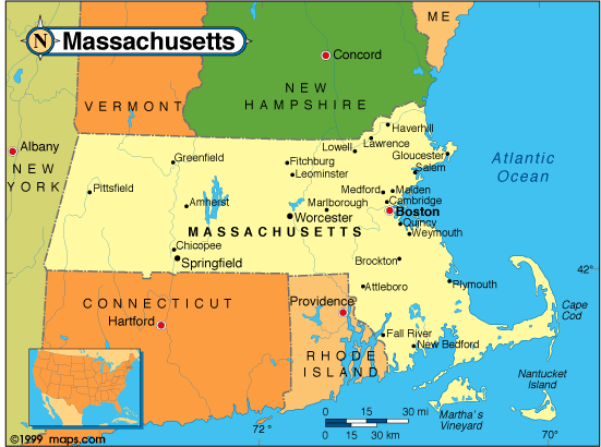
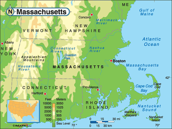
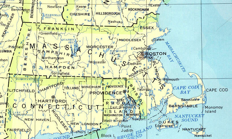
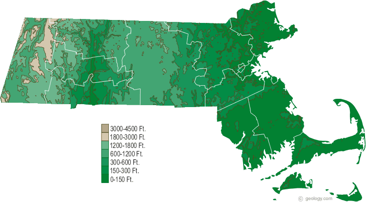
Massachusetts Physical Map
At Massachusetts Physical Map page, view political map of Massachusetts, physical maps, US Massachusetts states map, satellite images, driving direction, USA metropolitan area traffic map, the United States of America atlas, highways, google street views, terrain, continent population, energy resources maps, country national map, regional household incomes and statistics maps.
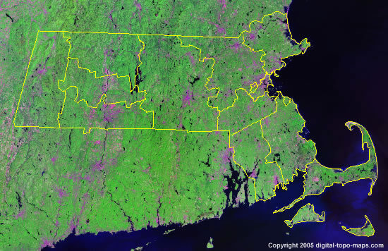
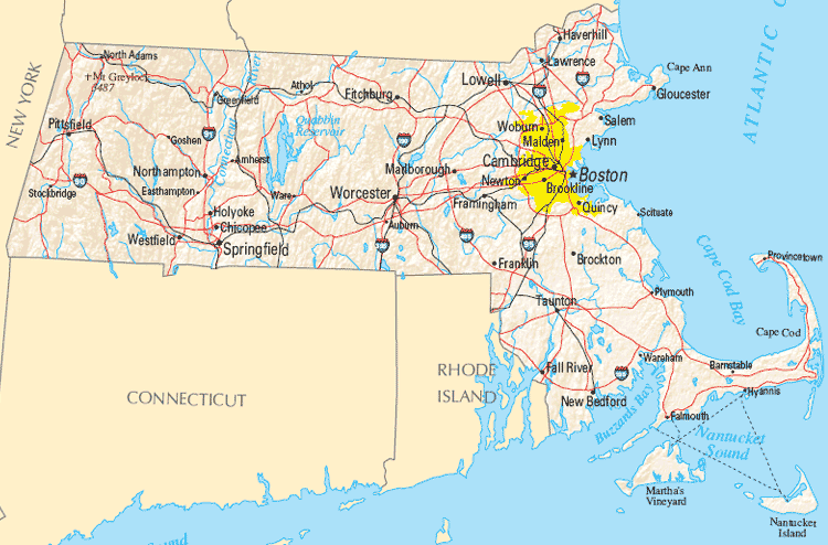
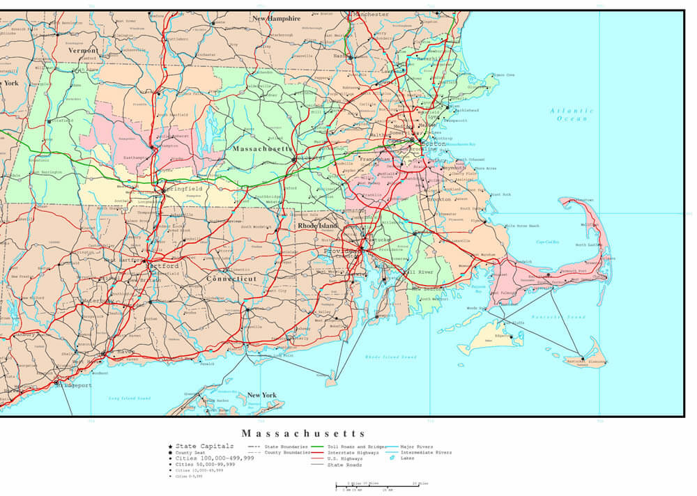
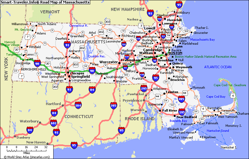
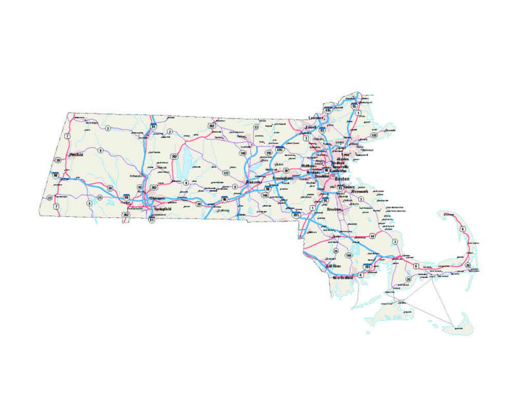
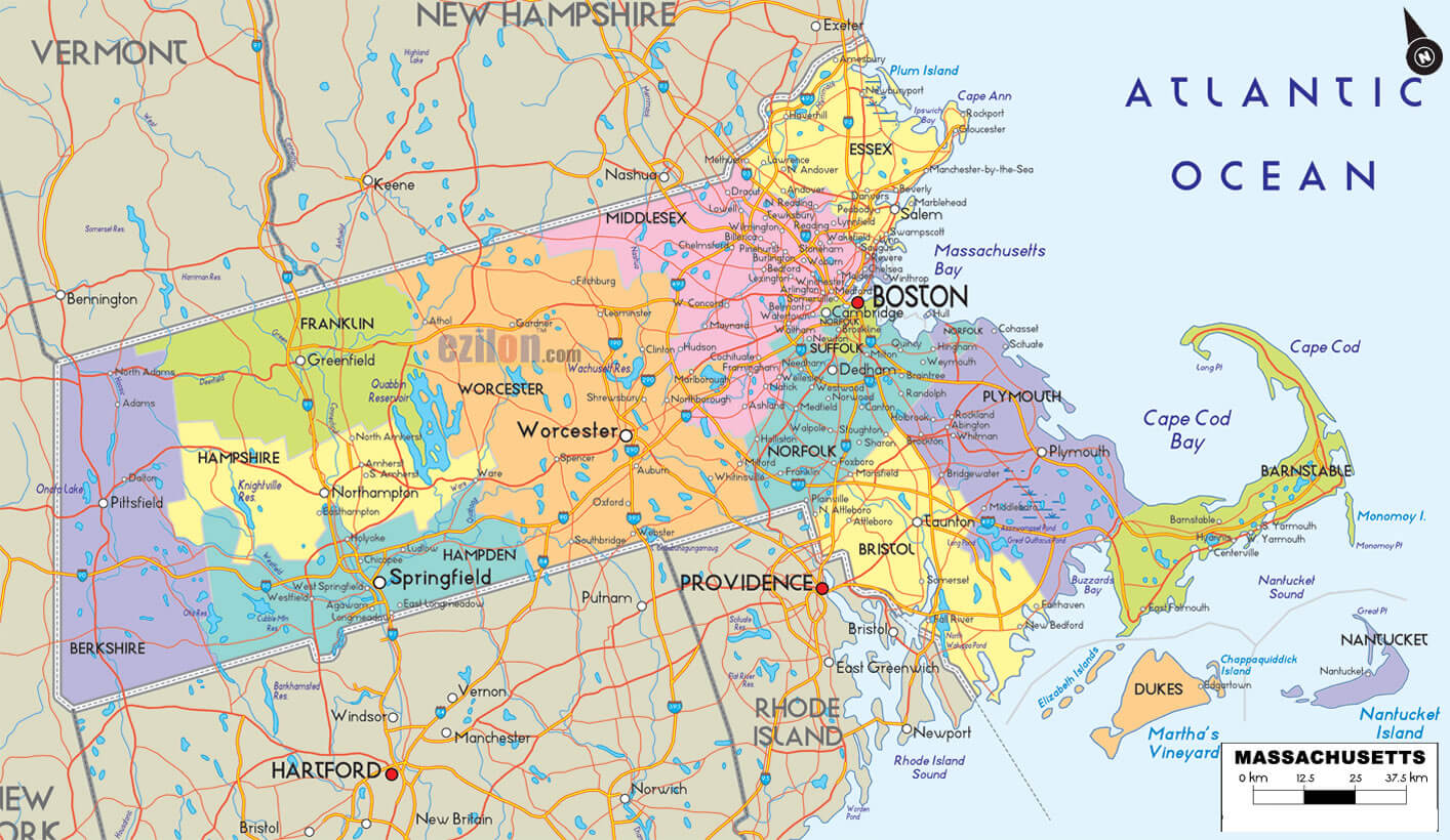
Massachusetts Map
Massachusetts Map Help
To zoom in and zoom out map, please drag map with mouse. To navigate map click on left, right or middle of mouse. To view detailed map move small map area on bottom of map. USA Massachusetts Map Loading...
A collection Map of Massachusetts

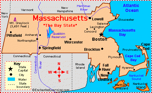
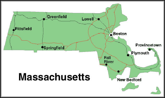

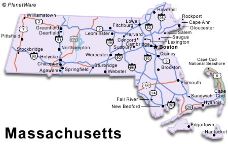

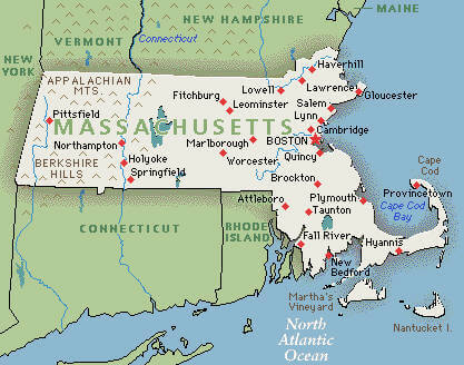
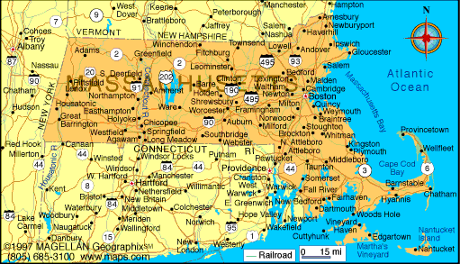
Largest Cities Map of Massachusetts and Population
- Boston Map - 617.594 - (42.358431, -71.059773)
- Worcester Map - 181.045 - (42.263 / -71.802)
- Springfield Map - 153.060 - (42.101 / -72.59)
- Lowell Map - 106.519 - (42.633 / -71.316)
- Cambridge Map - 105.162 - (42.375 / -71.106)
- New Bedford Map - 95.072 - (41.636 / -70.934)
- Brockton Map - 93.810 - (42.083 / -71.018)
- Quincy Map - 92.271 - (42.253 / -71.002)
- Lynn Map - 90.329 - (42.467 / -70.949)
- Fall River Map - 88.857 - (41.701491, -71.155045)
- Newton Map - 85.146 - (42.337041, -71.209221)
- Lawrence Map - 76.377 - (42.707035, -71.163114)
- Somerville Map - 75.754 - (42.387597, -71.099497)
- Framingham Map - 68.318 - (42.279286, -71.416156)
- Haverhill Map - 60.879 - (42.776201, -71.077280)
- Waltham Map - 60.632 - (42.376485, -71.235611)
- Malden Map - 59.450 - (42.376485, -71.235611)
- Brookline Map - 58.732 - (42.331764, -71.121163)
- Medford Map - 56.173 - (42.418430, -71.106164)
- Taunton Map - 55.874 - (41.900101, -71.089767)
Google Map, Street Views, Maps Directions, Satellite Images
GuideoftheWorld.net offers a collection of map, google map, atlas, political, physical, satellite view, country infos, cities map and more map of .
Copyright GuideofTheWorld.Net 2006 - 2026. All rights reserved. Privacy Policy | Disclaimer