
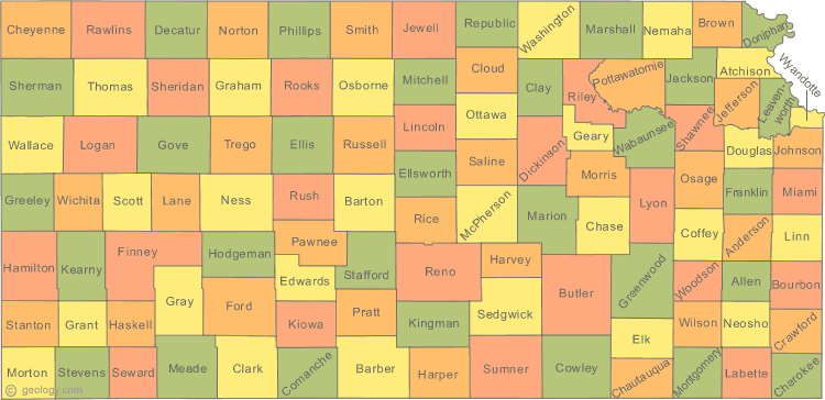
Kansas Political Map
At Kansas Political Map page, view political map of Kansas, physical maps, US Kansas states map, satellite images, driving direction, USA metropolitan area traffic map, the United States of America atlas, highways, google street views, terrain, continent population, energy resources maps, country national map, regional household incomes and statistics maps.
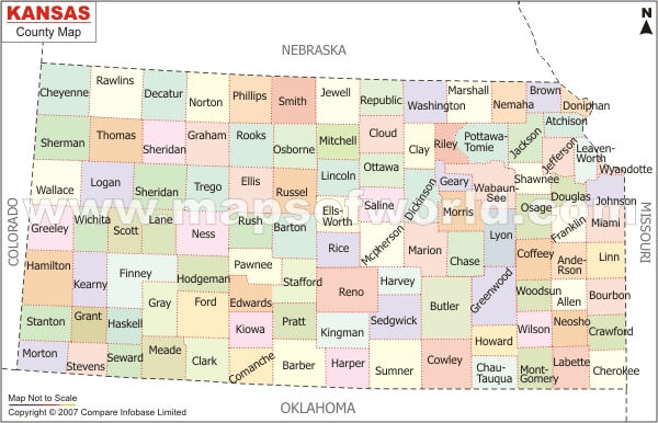
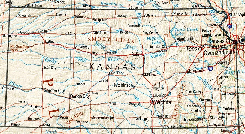
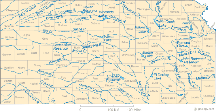
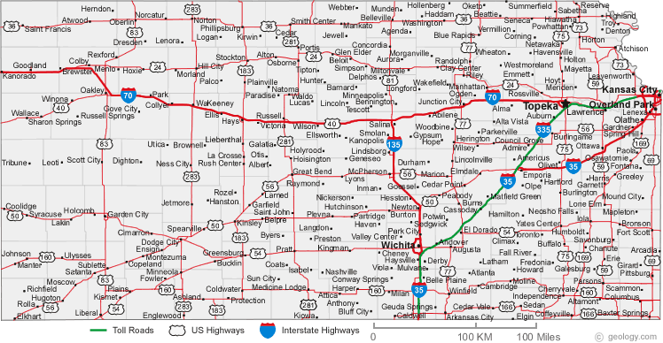
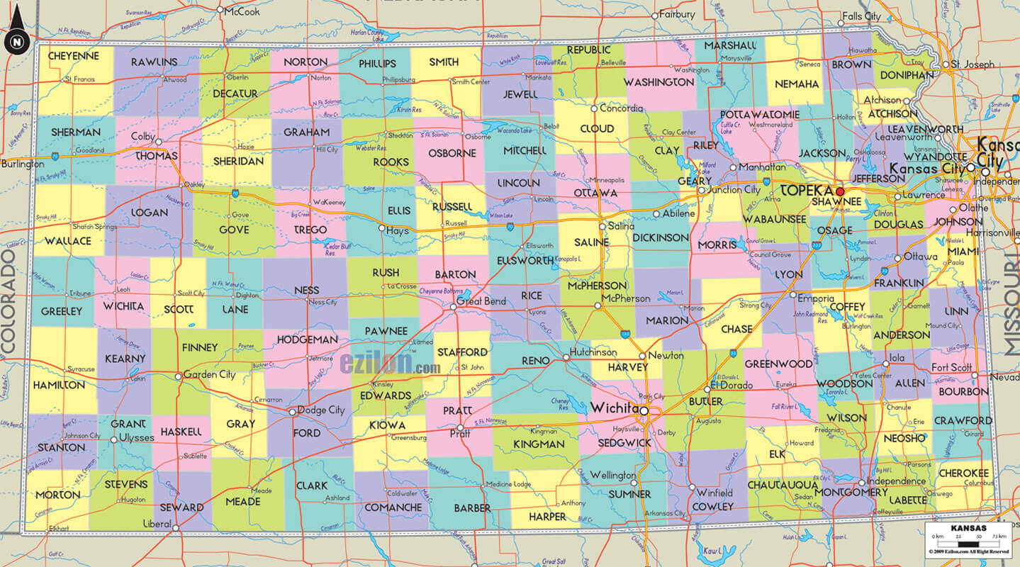
Kansas Map
Kansas Map Help
To zoom in and zoom out map, please drag map with mouse. To navigate map click on left, right or middle of mouse. To view detailed map move small map area on bottom of map. USA Kansas Map Loading...
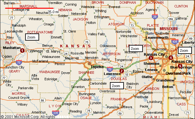
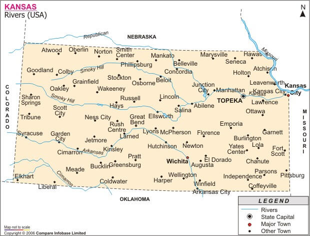
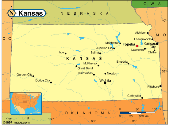
A collection Map of Kansas
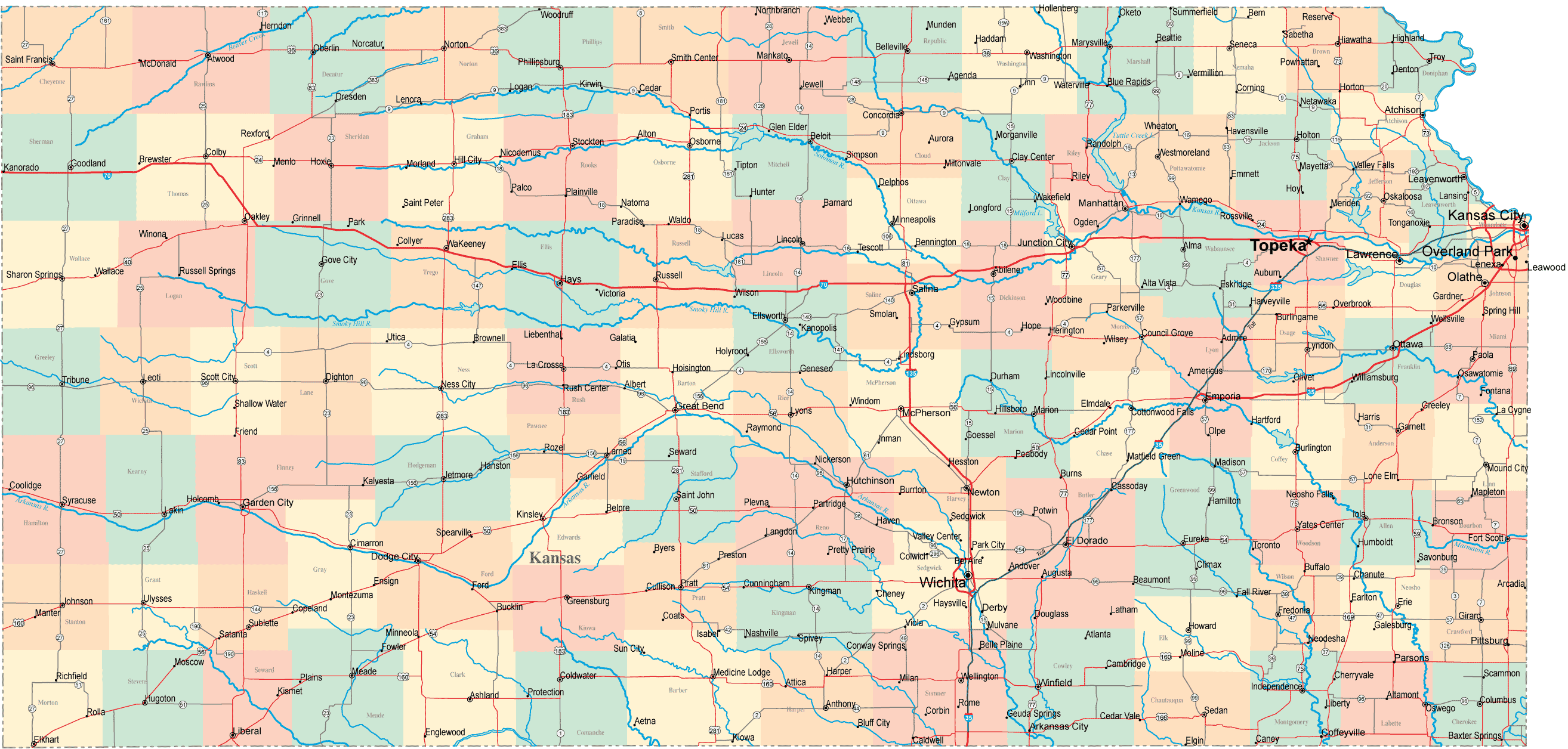
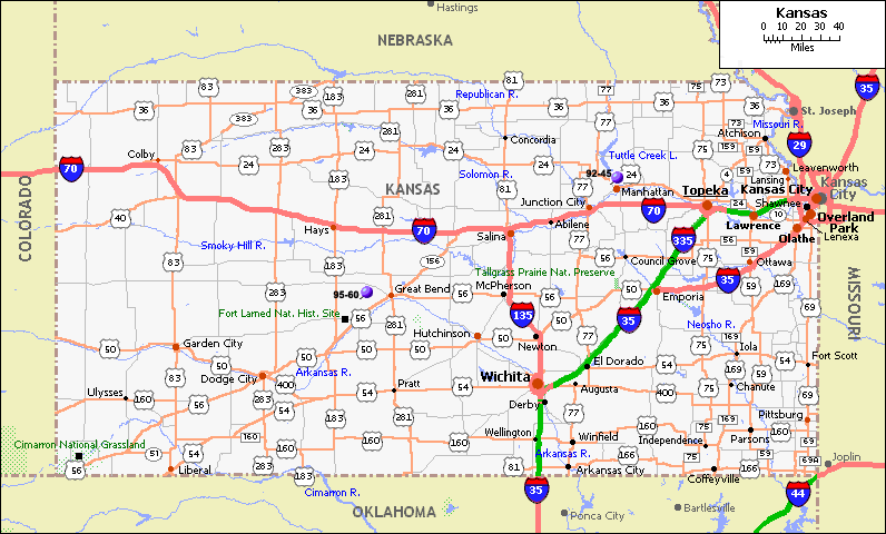
Largest Cities Map of Kansas and Population
- Wichita Map - 382.368 - (37.692,-97.338)
- Overland Park Map - 173.372 - (38.982,-94.671)
- Kansas City Map - 145.786 - (39.114,-94.627)
- Topeka Map - 127.473 - (39.048,-95.678)
- Olathe Map - 125.872 - (38.881,-94.819)
- Lawrence Map - 87.643 - (38.972,-95.235)
- Shawnee Map - 62.209 - (39.042,-94.72)
- Manhattan Map - 52.281 - (39.184,-96.572)
- Lenexa Map - 48.190 - (38.954,-94.734)
- Salina Map - 47.707 - (38.84,-97.611)
- Hutchinson Map - 42.080 - (38.060845, -97.929774)
- Leavenworth Map - 35.251 - (39.311111, -94.922464)
- Leawood Map - 31.867 - (38.966673, -94.616901)
- Dodge City Map - 27.340 - (37.752798, -100.017079)
- Garden City Map - 26.658 - (37.971690, -100.872662)
- Emporia Map - 24.916 - (38.403903, -96.181663)
- Junction City Map - 23.353 - (39.028609, -96.831398)
- Derby Map - 22.158 - (37.545574, -97.268933)
- Prairie Village Map - 21.447 - (38.991673, -94.633568)
- Liberal Map - 20.525 - (37.043081, -100.920999)
Google Map, Street Views, Maps Directions, Satellite Images
GuideoftheWorld.net offers a collection of map, google map, atlas, political, physical, satellite view, country infos, cities map and more map of .
Copyright GuideofTheWorld.Net 2006 - 2026. All rights reserved. Privacy Policy | Disclaimer