
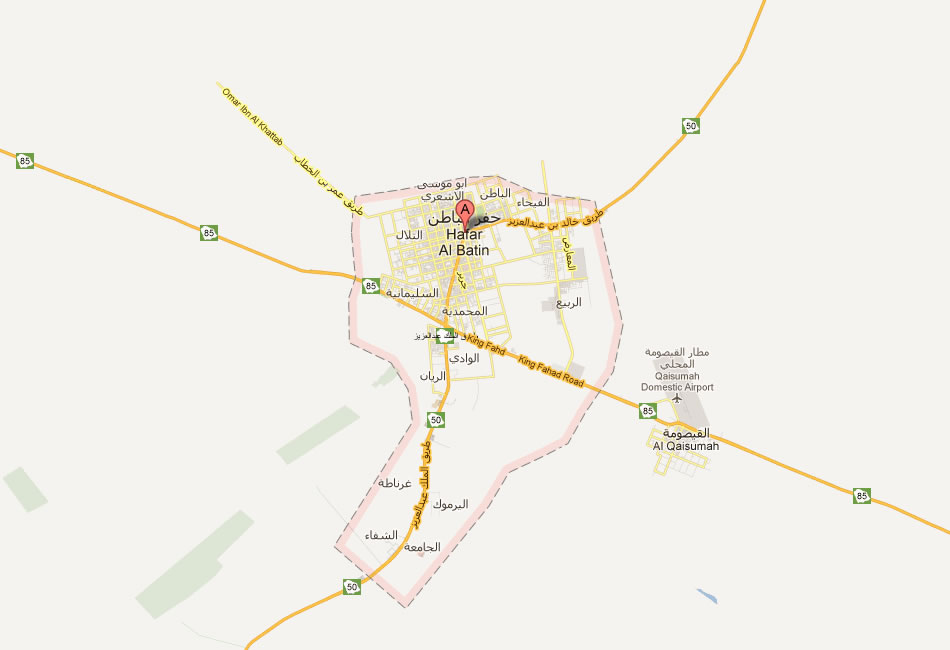
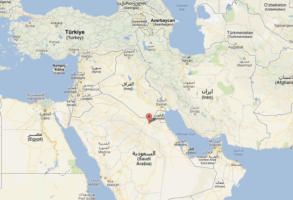
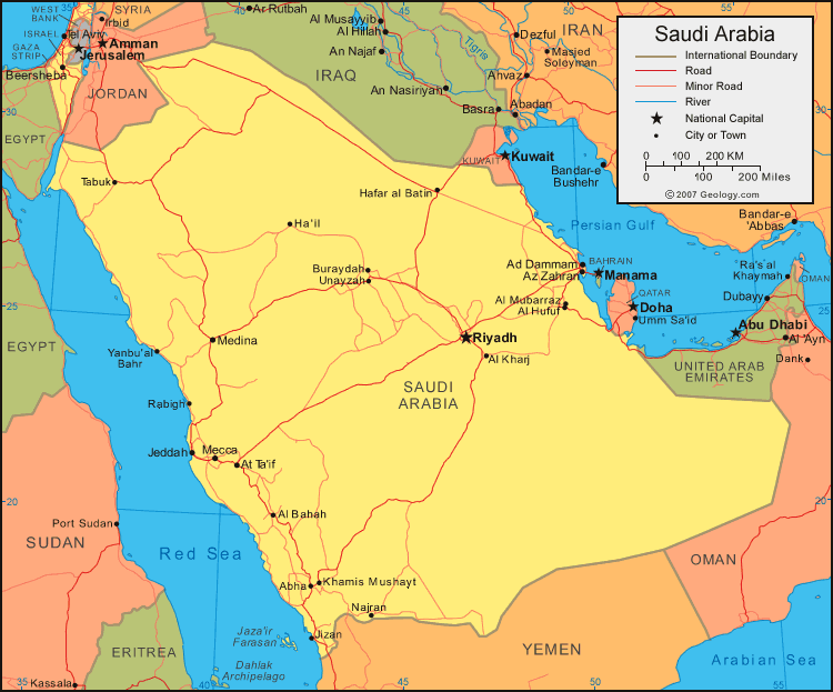
Hafar al Batin Map
Navigate Hafar al Batin Map, Hafar al Batin city map, satellite images of Hafar al Batin, Hafar al Batin towns map, political map of Hafar al Batin, driving directions and traffic maps.
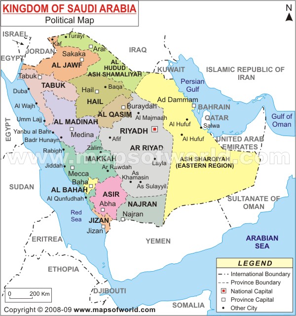
For more >> Saudi Arabia Maps
For more info >> Saudi Arabia
Hafar al Batin Map - Political, physical, touristic city maps and satellite images
map of Hafar al Batin
From Riyadh to Jeddah: Guide to Saudi Arabia's Largest Cities
Please subscribe on "World Guide" channnel on Youtube at youtube.com/c/WorldGuide
A Collection of Hafar al Batin and Satellite Images
MAP OF HAFAR AL BATIN
HAFAR AL BATIN MAP
HAFAR AL BATIN
MAP OF HAFAR AL BATIN SAUDI ARABIA
SAUDI ARABIA MAP HAFAR AL BATIN
Hafar al Batin Google Map, Street Views, Maps Directions, Satellite Images
GuideoftheWorld.net offers a collection of Hafar al Batin map, google map, Hafar al Batin atlas, political, physical, satellite view, country infos, cities map and more map of Hafar al Batin.
Largest Cities' Map of Saudi Arabia
Abha Map Dammam Map Al Hawiyah Map Al Jubayl Map Al Kharj Map Al Khubar Map Medina Map Al Mubarraz Map Al Qurayyah Map Arar Map Riyadh Map Ath Thuqbah Map At Taif Map Buraydah Map Hafar al Batin Map Jidda Map Khamis Mushayt Map Mecca Map Aba as Suud Map Sakakah Map Tabuk Map Yanbu al Bahr MapCopyright GuideofTheWorld.Net 2006 - 2026. All rights reserved. Privacy Policy | Disclaimer