
Aguascalientes Map
Navigate Aguascalientes Map, Aguascalientes city map, satellite images of Aguascalientes, Aguascalientes towns map, political map of Aguascalientes, driving directions and traffic maps.
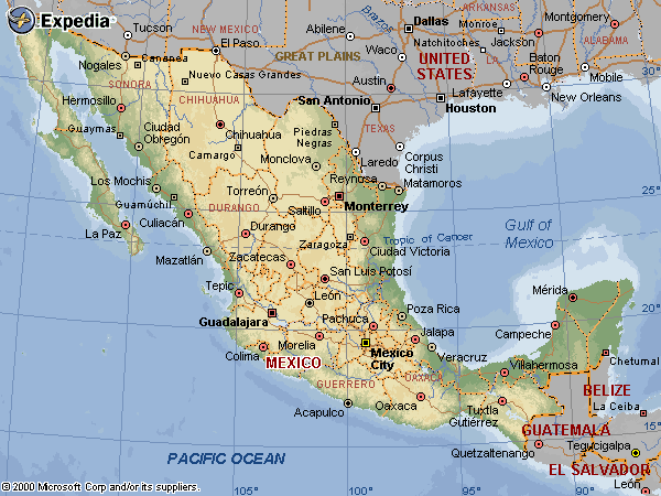
For more >> Mexico Maps
For more info >> Mexico
Aguascalientes Map - Political, physical, touristic city maps and satellite images
Aguascalientes map
10 Best Must-Visit Attractions in Mexico City
Please subscribe on "World Guide" channnel on Youtube at youtube.com/c/WorldGuide
Top 10 Favorite Things to Do in Cancún
A Collection of Aguascalientes and Satellite Images
AGUASCALIENTES MAP
Aguascalientes Google Map, Street Views, Maps Directions, Satellite Images
GuideoftheWorld.net offers a collection of Aguascalientes map, google map, Aguascalientes atlas, political, physical, satellite view, country infos, cities map and more map of Aguascalientes.
Largest Cities' Map of Mexico
Acapulco Map Aguascalientes Map Cancun Map Mexico City Map Ciudad Juarez Map Cuernavaca Map Culiacan Map Durango Map Guadalajara Map Hermosillo Map Leon Map Matamoros Map Merida Map Monterrey Map Morelia Map Oaxaca Map Pachuca Map Puebla Map Queretaro Map Reynosa Map Saltillo Map San Luis Potosi Map Tampico Map Tijuana Map Toluca Map Torreon Map Tuxtla Gutierrez Map Veracruz Map Villahermosa Map Jalapa MapCopyright GuideofTheWorld.Net 2006 - 2026. All rights reserved. Privacy Policy | Disclaimer