
Map of Berlin New Hampshire, United States
Navigate Berlin New Hampshire map, Berlin New Hampshire country map, satellite images of Berlin New Hampshire, Berlin New Hampshire largest cities, towns maps, political map of Berlin New Hampshire, driving directions, physical, atlas and traffic maps in United States.
Berlin New Hampshire City Town Maps
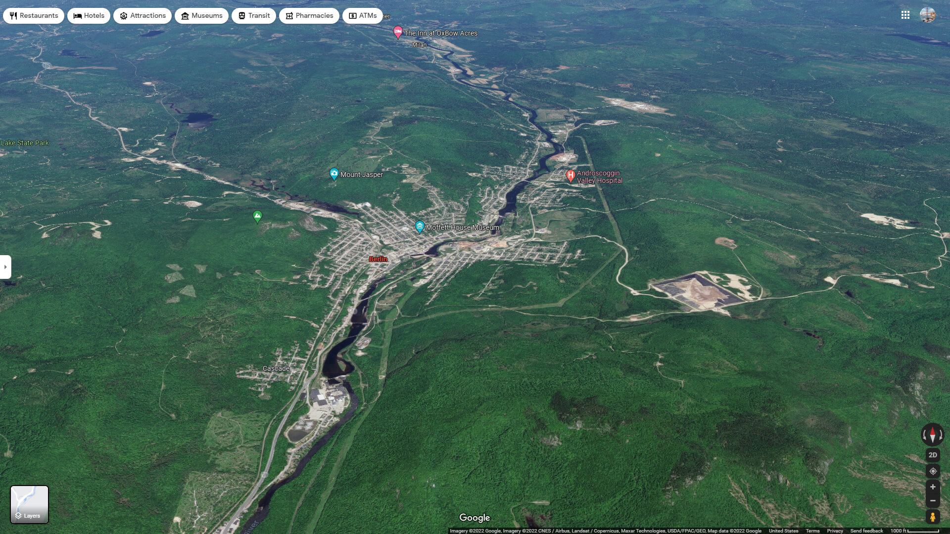
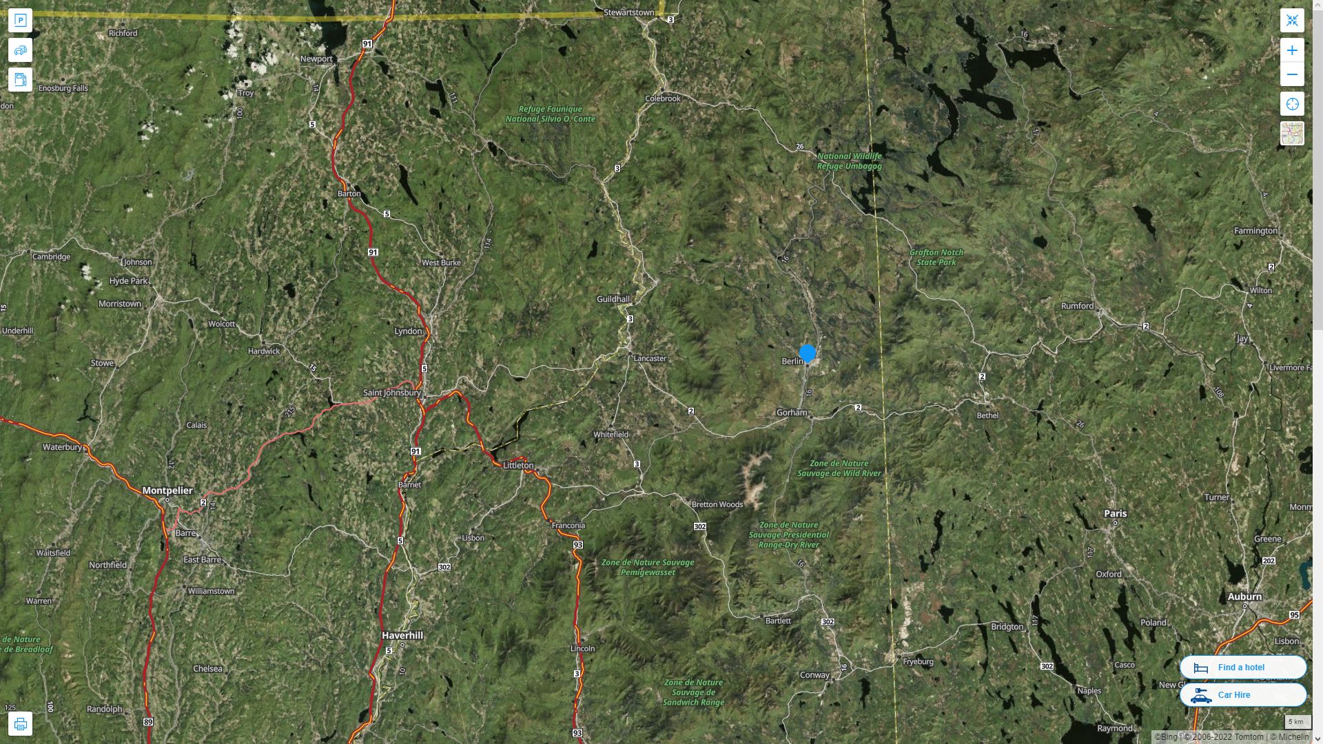
BERLIN AERIAL MAP NEW HAMPSHIRE
A Collection of Berlin New Hampshire Maps and Berlin New Hampshire Satellite Images
BERLIN MAP
BERLIN MAP NEW HAMPSHIRE
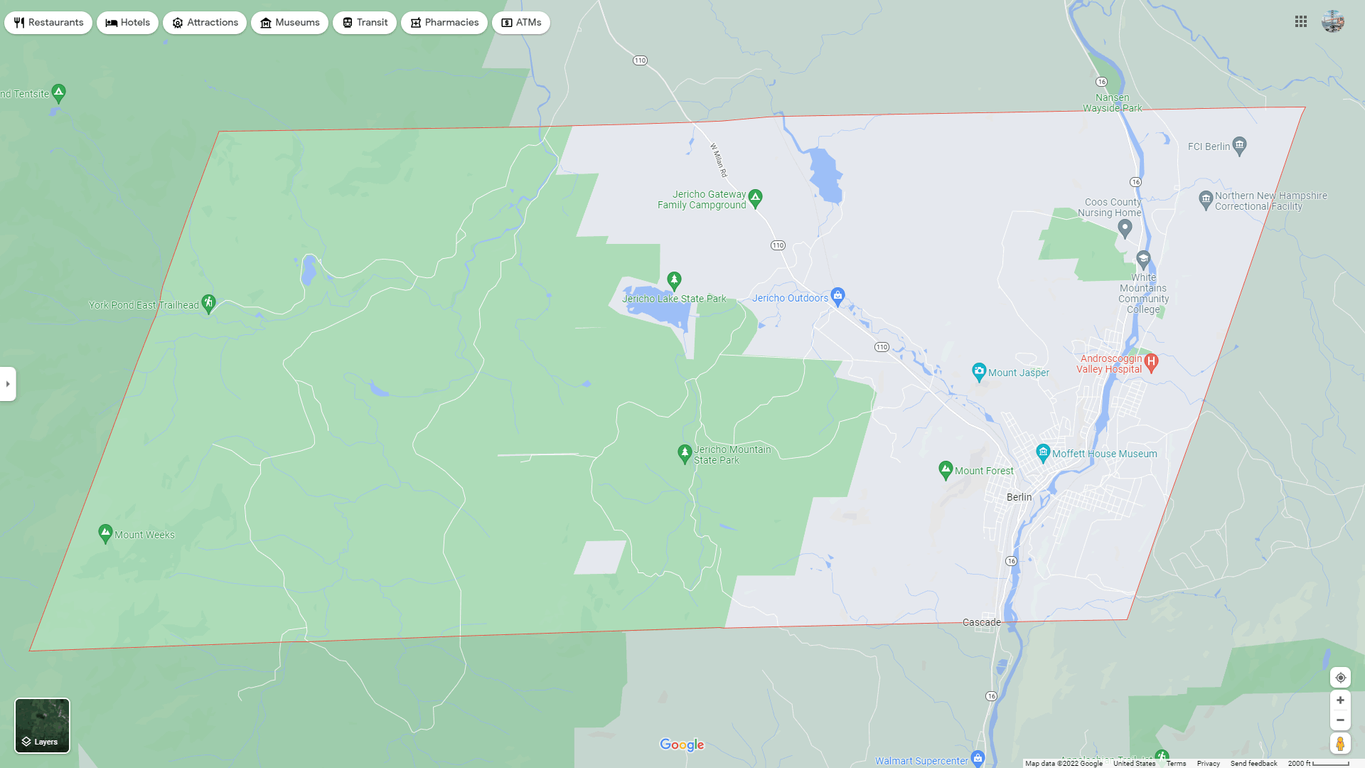
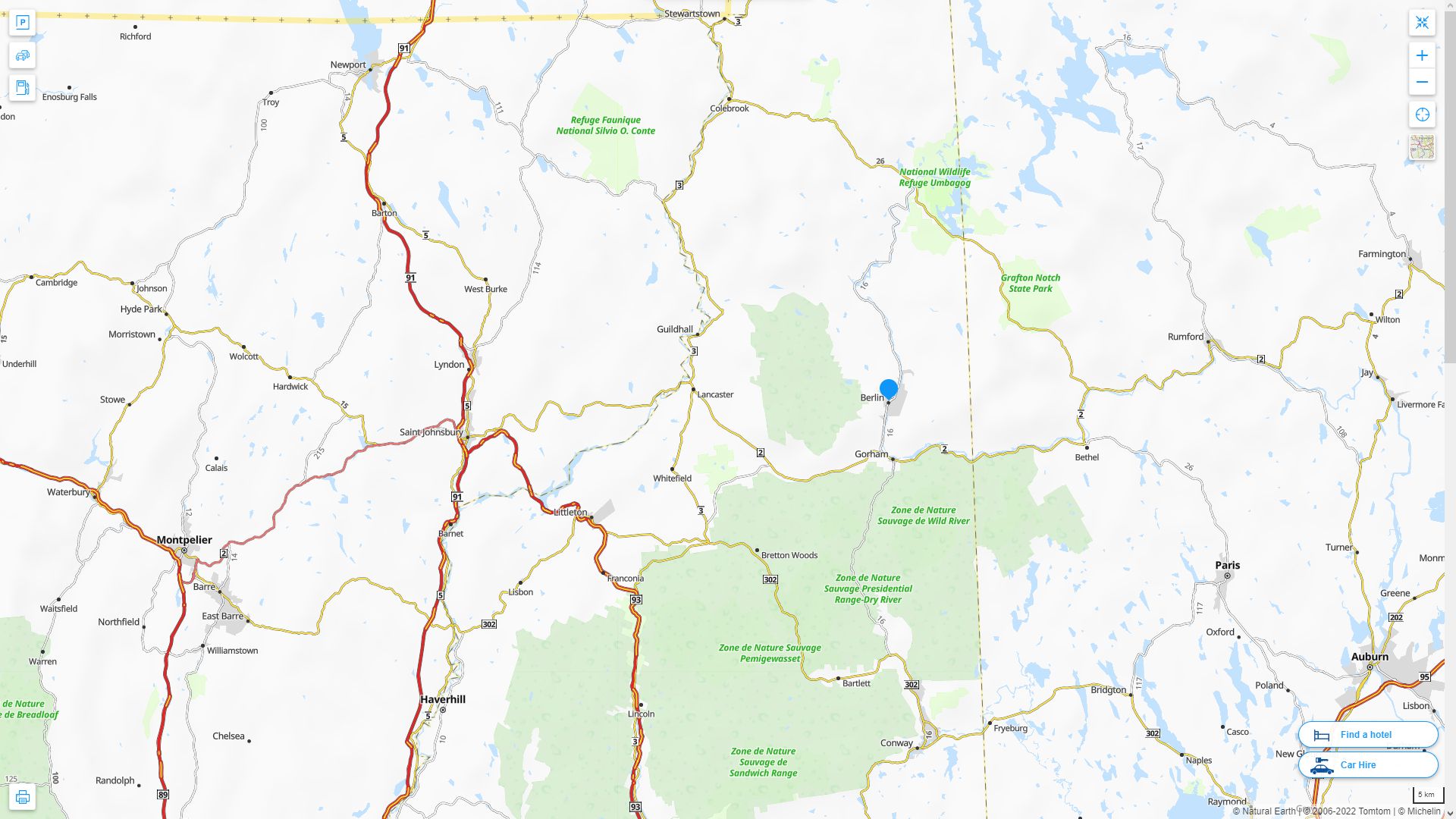
BERLIN DETAILED MAP
BERLIN AERIAL MAP NEW HAMPSHIRE
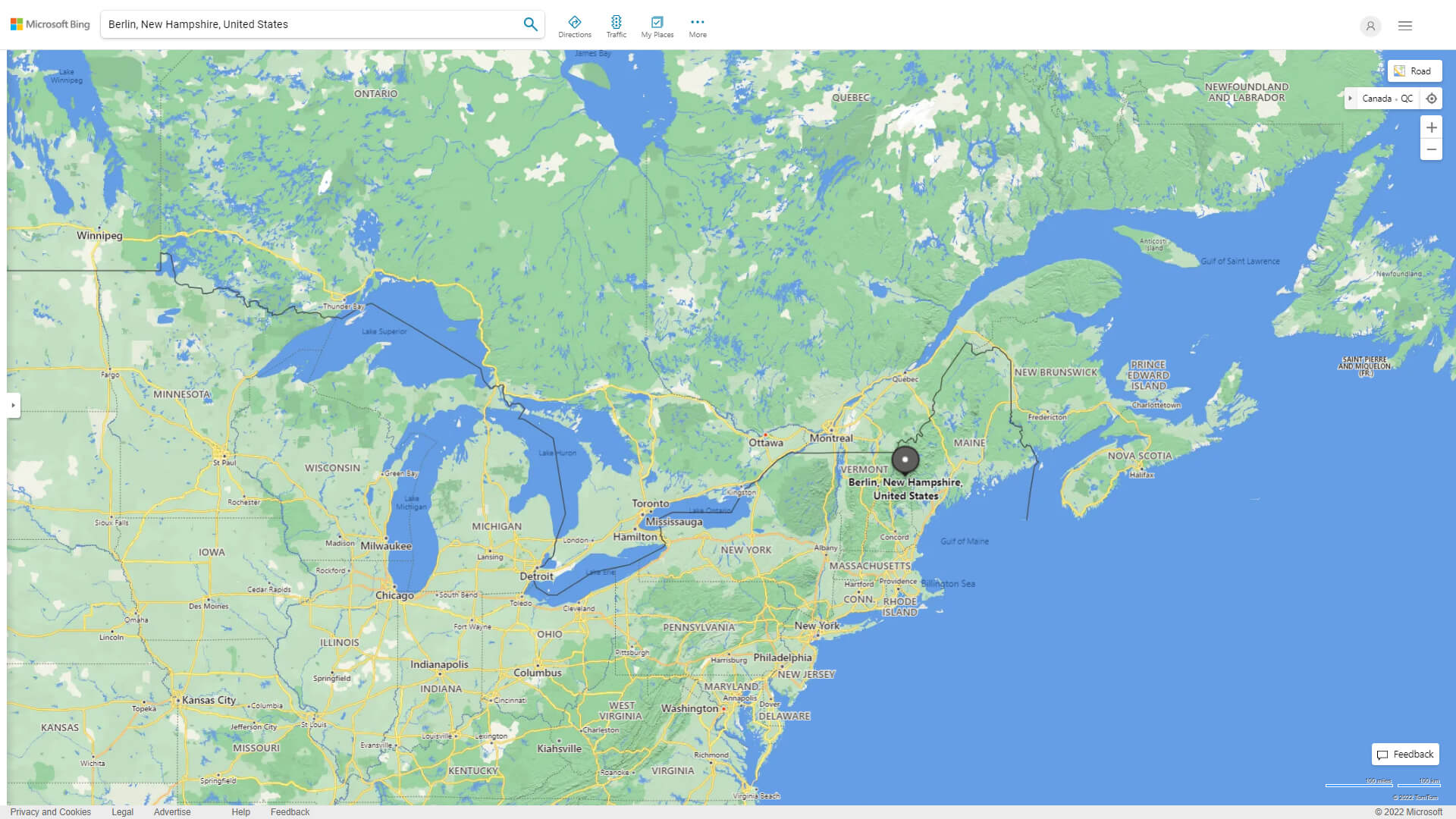
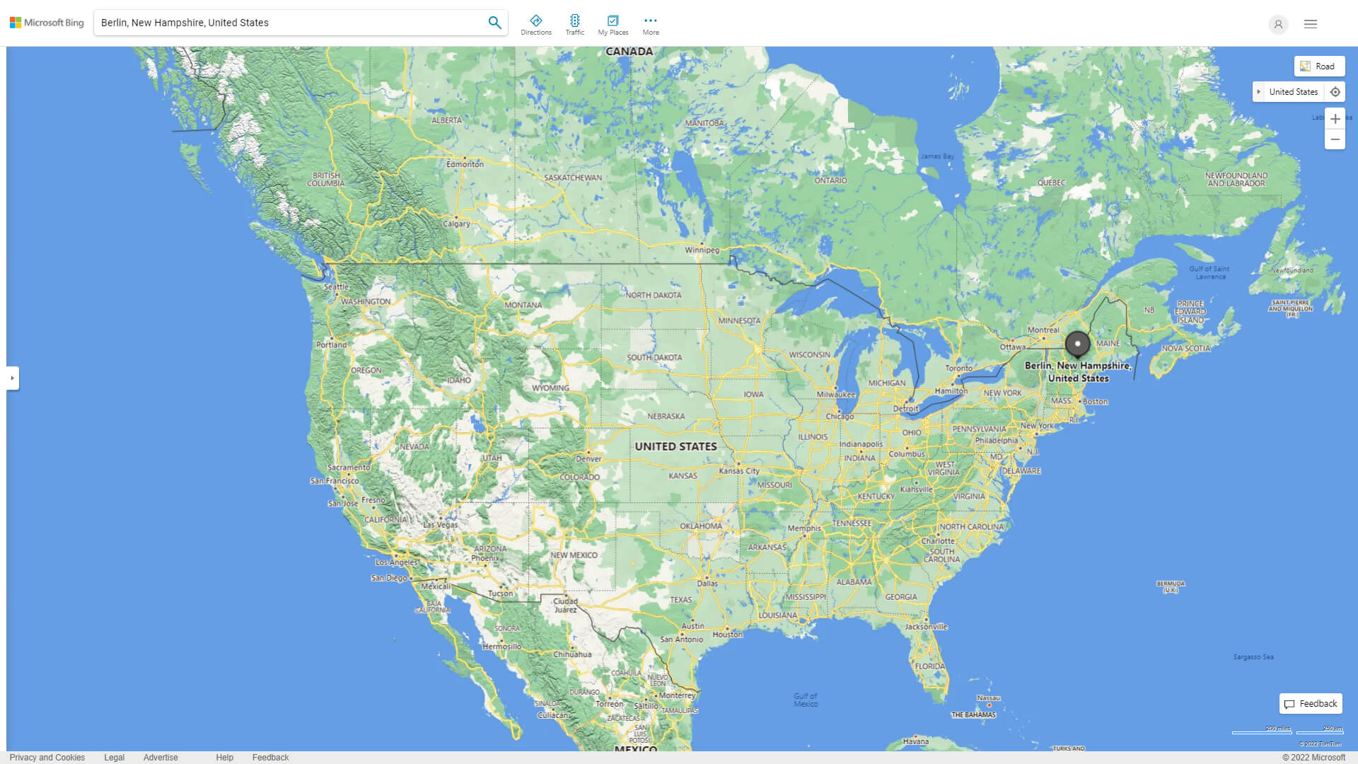
WHERE IS BERLIN IN THE US
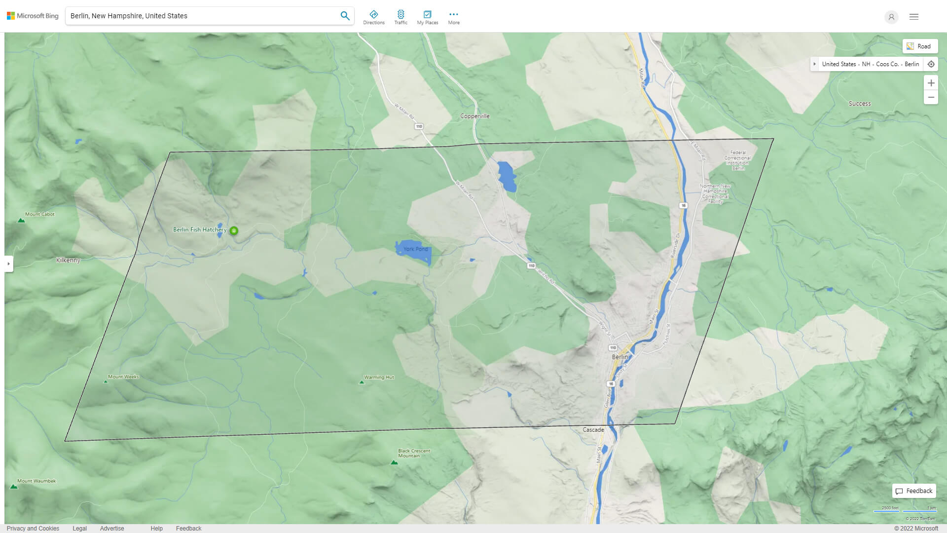
BERLIN NEW HAMPSHIRE HIGHWAY AND ROAD MAP WITH SATELLITE VIEW
BERLIN NEW HAMPSHIRE HIGHWAY AND ROAD MAP
Largest New Hampshire Cities by Population
Manchester New Hampshire Map Nashua New Hampshire Map Concord New Hampshire Map Dover New Hampshire Map Rochester New Hampshire Map Keene New Hampshire Map Derry New Hampshire Map Portsmouth New Hampshire Map Laconia New Hampshire Map Claremont New Hampshire Map Lebanon New Hampshire Map Somersworth New Hampshire Map Londonderry New Hampshire Map Durham New Hampshire Map Berlin New Hampshire MapFor all New Hampshire Cities Map
- Head of Performance Marketing
- Head of SEO
- Linkedin Profile: linkedin.com/in/arifcagrici
See Also
Berlin New Hampshire Google Map, Street Views, Maps Directions, Satellite Images
guideoftheworld.net offers a collection of Berlin New Hampshire map, google map, Berlin New Hampshire atlas, political, physical, satellite view, country infos, cities map and more map of Berlin New Hampshire.
United States Largest Cities Map by Population
New York City Map Los Angeles Map Chicago Map Brooklyn Map Houston Map Philadelphia Map Manhattan Map Phoenix Map San Antonio Map San Diego Map Dallas Map San Jose Map Jacksonville Map Indianapolis Map San Francisco Map Austin Map Columbus Map Fort Worth Map Charlotte Map Detroit MapCopyright GuideofTheWorld.Net 2006 - 2026. All rights reserved. Privacy Policy | Disclaimer