
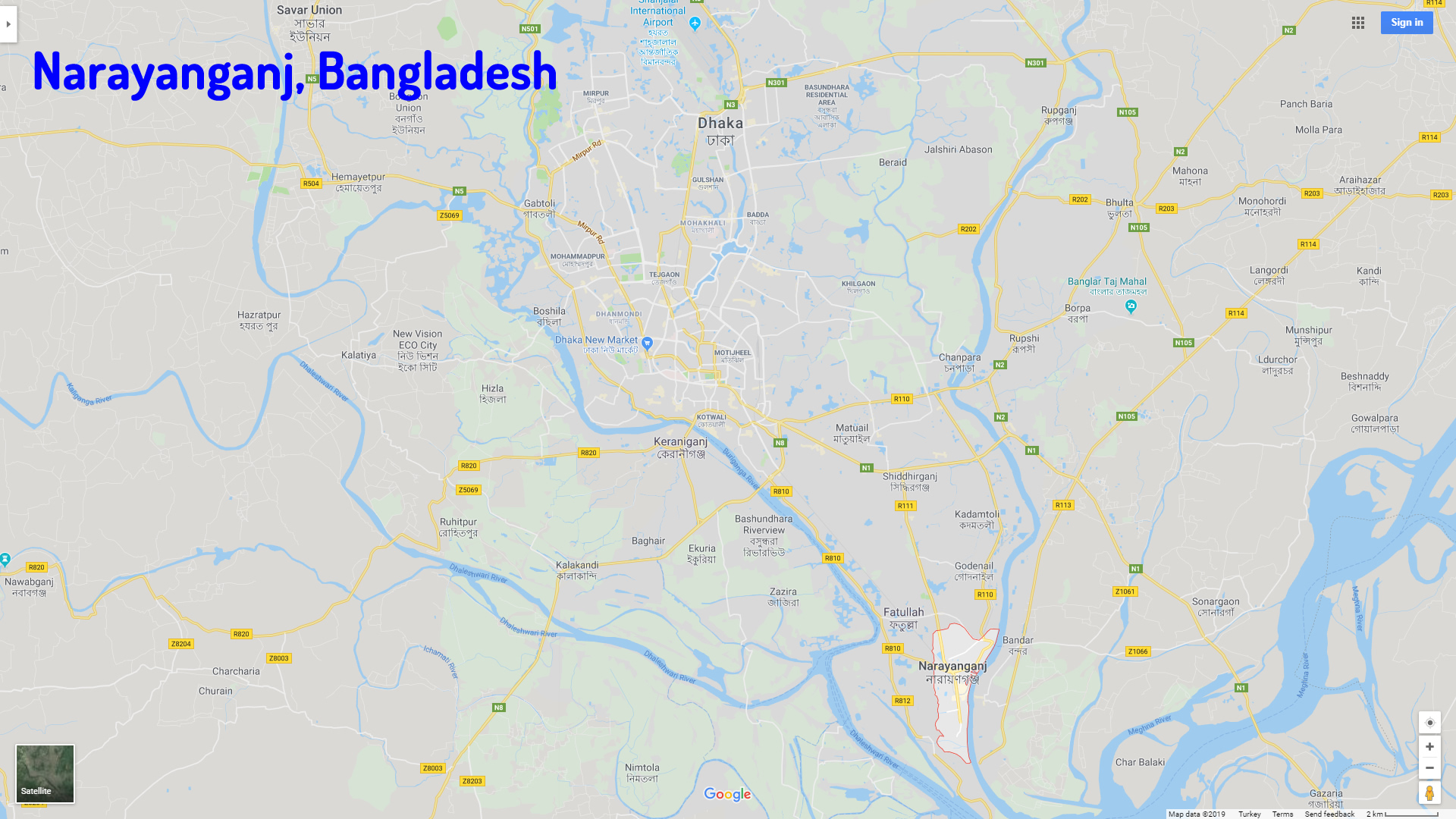
Narayanganj Map
Navigate Narayanganj Map, Narayanganj city map, satellite images of Narayanganj, Narayanganj towns map, political map of Narayanganj, driving directions and traffic maps.
For more >> Bangladesh Maps
For more info >> Bangladesh
Narayanganj Map - Political, physical, touristic city maps and satellite images
Narayanganj map Bangladesh
Exploring Bangladesh Through Maps: A Visual Journey of the Land of Rivers
Please subscribe on "World Guide" channnel on Youtube at youtube.com/c/WorldGuide
Dhaka Unveiled: A Cinematic Journey Through the City's Icons
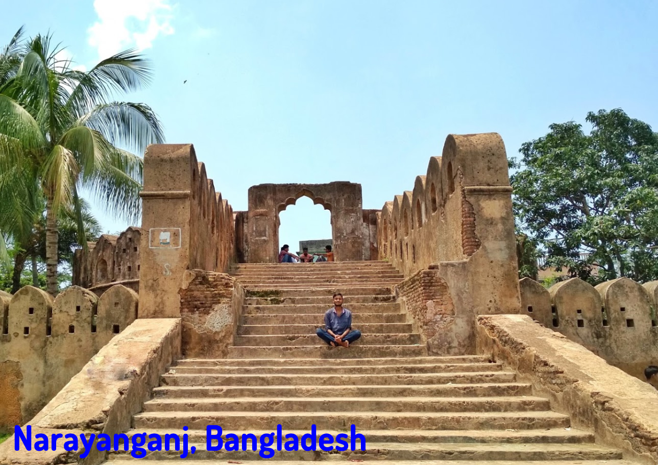
A Collection of Narayanganj and Satellite Images
NARAYANGANJ MAP BANGLADESH
NARAYANGANJ BANGLADESH
NARAYANGANJ MAP
Narayanganj Google Map, Street Views, Maps Directions, Satellite Images
GuideoftheWorld.net offers a collection of Narayanganj map, google map, Narayanganj atlas, political, physical, satellite view, country infos, cities map and more map of Narayanganj.
Largest Cities' Map of Bangladesh
Dhaka Map Chittagong Map Khulna Map Narayanganj Map Gazipur Map Rajshahi Map Mymensingh Map Sylhet Map Comilla Map Rangpur Map Barisal Map Jessore Map Bogra MapCopyright GuideofTheWorld.Net 2006 - 2026. All rights reserved. Privacy Policy | Disclaimer