
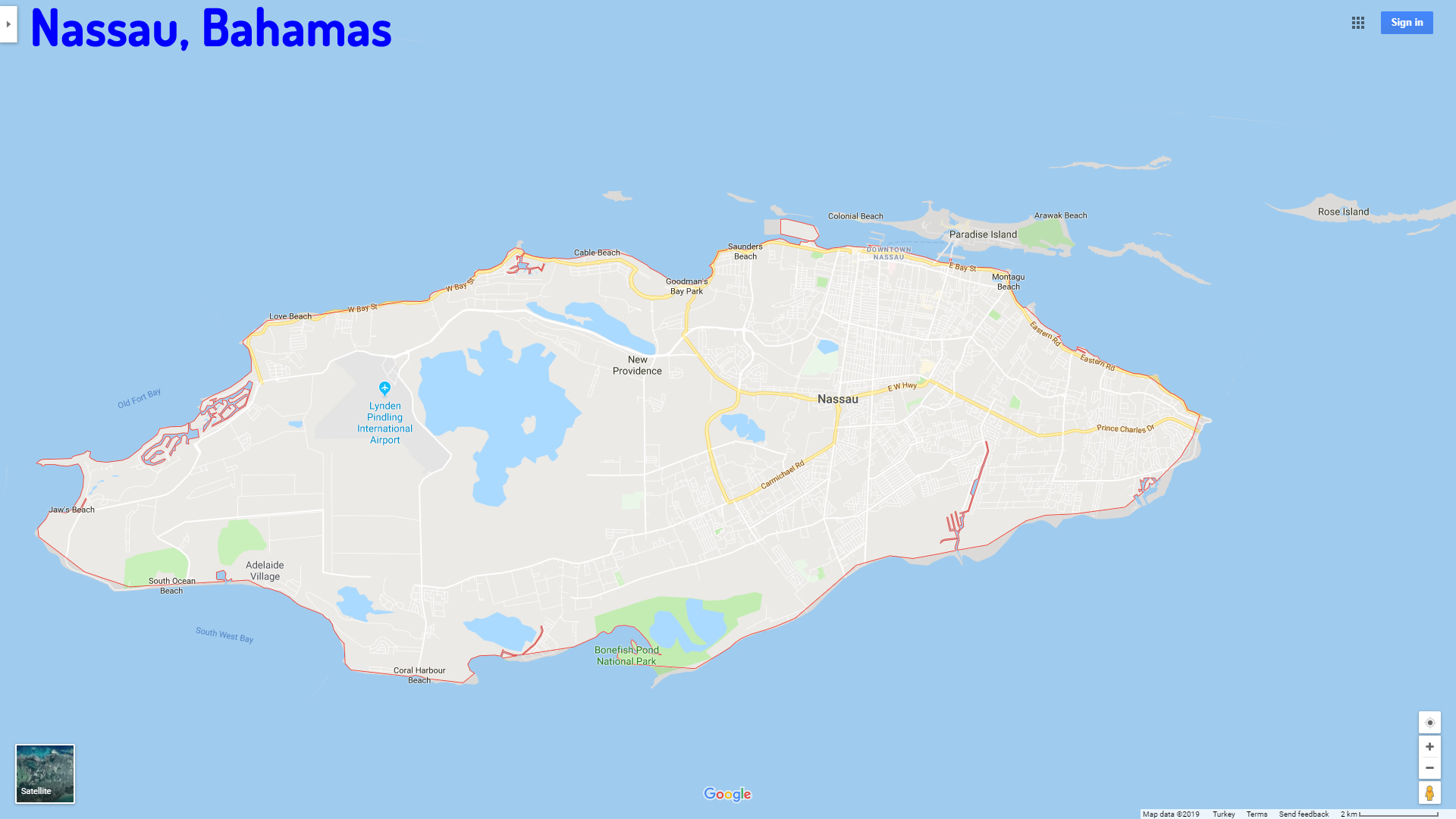
Nassau Map
Navigate Nassau Map, Nassau city map, satellite images of Nassau, Nassau towns map, political map of Nassau, driving directions and traffic maps.
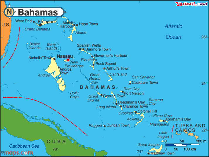
For more >> Bahamas Maps
For more info >> Bahamas
Nassau Map - Political, physical, touristic city maps and satellite images
Nassau map Bahamas
Bahamas Beyond the Beaches: Exploring the Hidden Depths of Island Culture
Please subscribe on "World Guide" channnel on Youtube at youtube.com/c/WorldGuide
A Collection of North America Maps: Dive into the Continent's Uncharted Stories
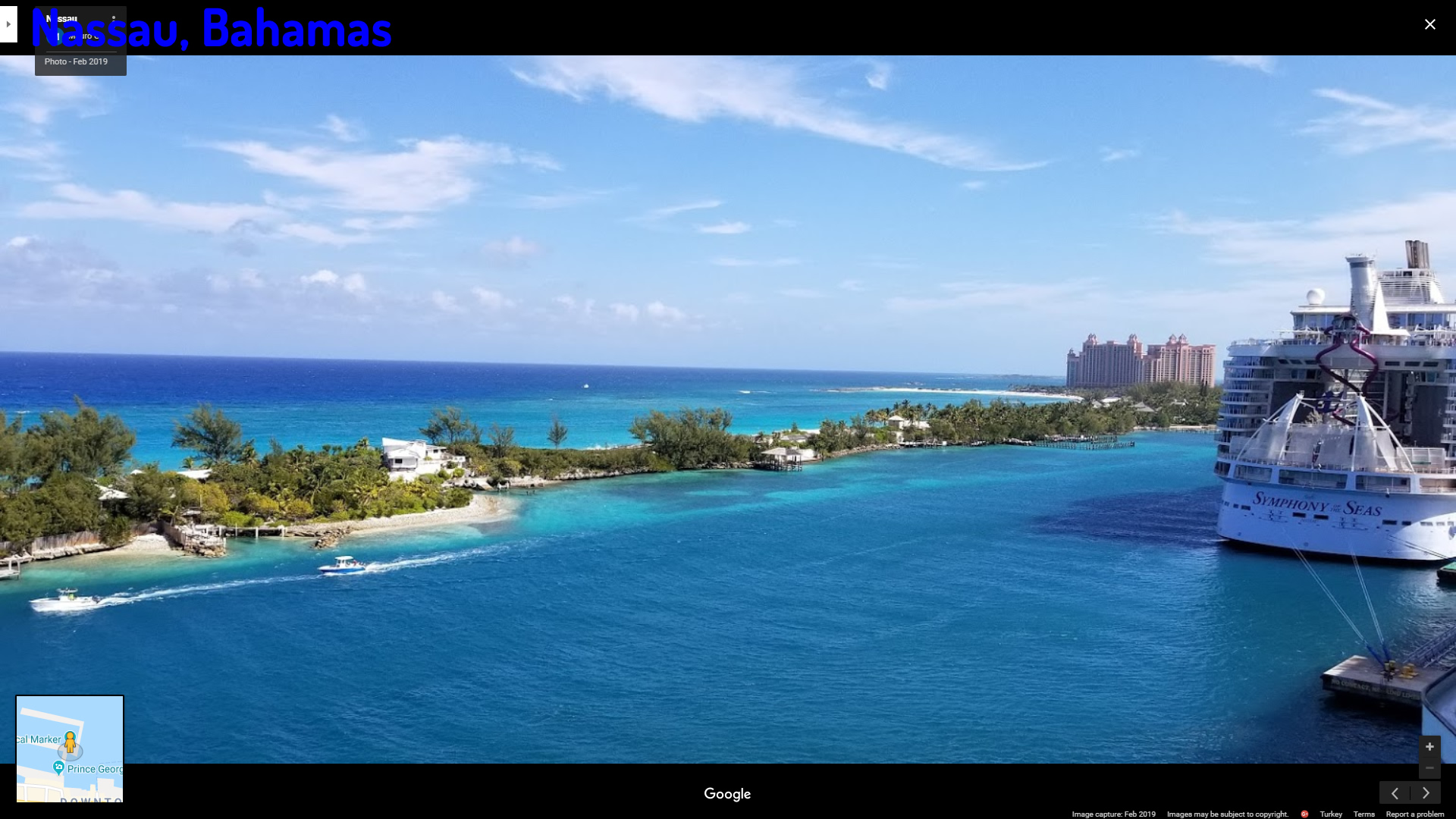
A Collection of Nassau and Satellite Images
NASSAU MAP BAHAMAS
NASSAU BAHAMAS
NASSAU MAP
Nassau Google Map, Street Views, Maps Directions, Satellite Images
GuideoftheWorld.net offers a collection of Nassau map, google map, Nassau atlas, political, physical, satellite view, country infos, cities map and more map of Nassau.
Copyright GuideofTheWorld.Net 2006 - 2026. All rights reserved. Privacy Policy | Disclaimer