
Kalgoorlie Map
Navigate Kalgoorlie Map, Kalgoorlie city map, satellite images of Kalgoorlie, Kalgoorlie towns map, political map of Kalgoorlie, driving directions and traffic maps.
For more >> Australia Maps
For more info >> Australia
A Collection of Kalgoorlie Maps
Kalgoorlie Map Australia
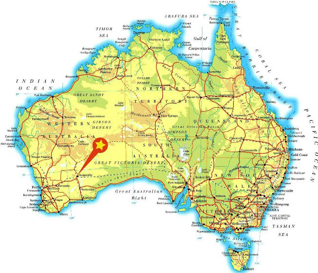
Kalgoorlie Western Australia Map
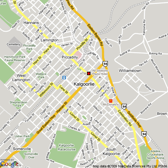
Kalgoorlie australia map
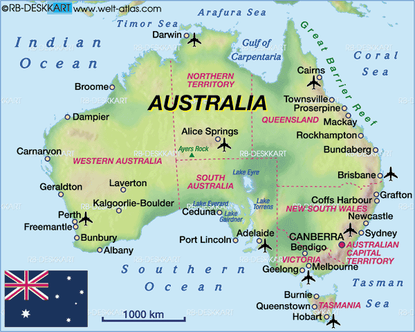
kalgoorlie map

Kalgoorlie map Western Australia
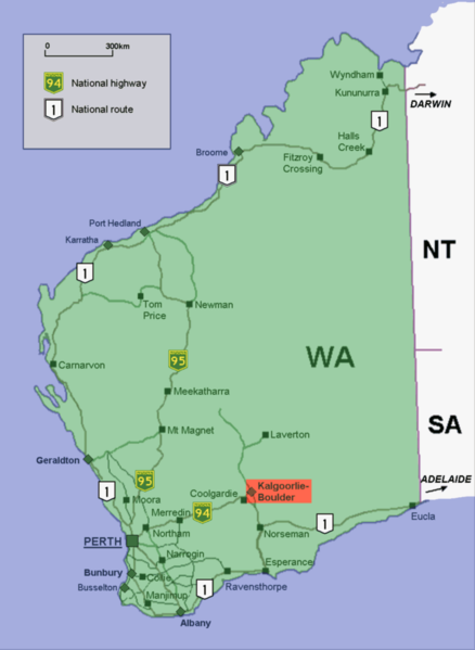
Kalgoorlie regions map
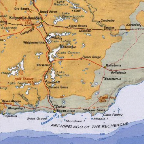
map of australia Kalgoorlie

Kalgoorlie Highway and Road Map with Satellite View
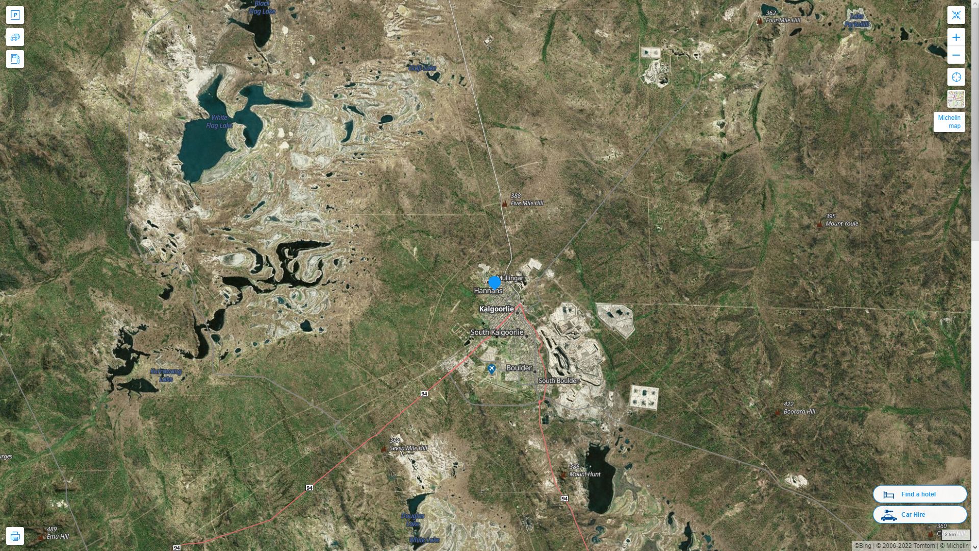
Kalgoorlie Highway and Road Map
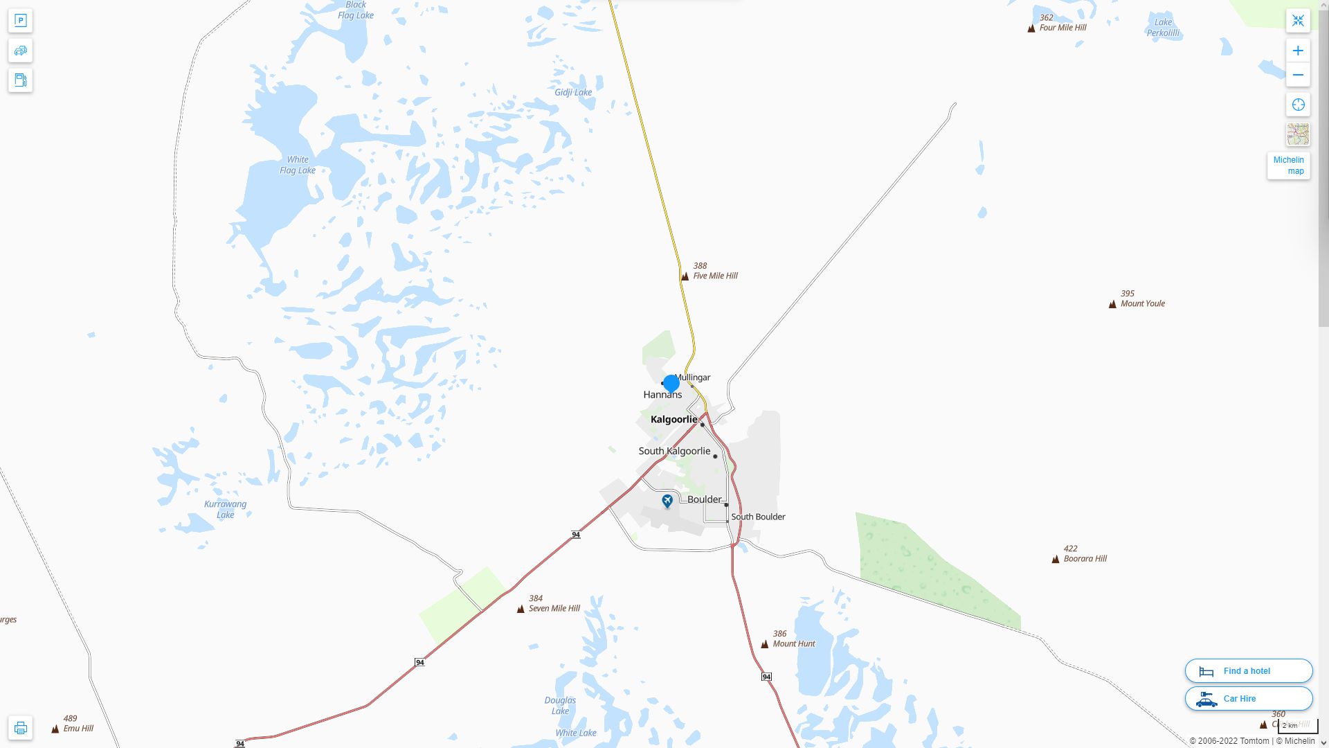
Kalgoorlie Google Map, Street Views, Maps Directions, Satellite Images
GuideoftheWorld.net offers a collection of Kalgoorlie map, google map, Kalgoorlie atlas, political, physical, satellite view, country infos, cities map and more map of Kalgoorlie.
Largest Cities' Map of Australia
Sydney Map Melbourne Map Brisbane Map Perth Map Adelaide Map Gold Coast Map Canberra Map Newcastle Australia Map Central Coast Map Wollongong Map Sunshine Coast Map Gosford Map Geelong Map Townsville Map Hobart Map Cairns Map Toowoomba Map Ballarat Map Bendigo Map Albury Map Launceston Map Mandurah Map Rockingham Map Mackay Map Darwin Map Darwin Map Maitland Map Rockhampton Map Bunbury Map Bundaberg Map Wagga Wagga Map Hervey Bay Map Port Macquarie Map Shepparton Map Melton Map Tamworth Map Orange Map Dubbo Map Mildura Map Sunbury Map Bathurst Map Gladstone Map Kalgoorlie Map Warrnambool Map Nowra Map Geraldton Map Lismore Map Coffs Harbour Map Albany Map Richmond Map Palmerston Map Mount Gambier Map Karratha Map Port Hedland Map Broome MapCopyright GuideofTheWorld.Net 2006 - 2026. All rights reserved. Privacy Policy | Disclaimer