
Map Spain
Navigate Spain map, satellite images of the Spain, states, largest cities, political map, capitals and physical maps.
- Capital : Madrid
- Population : 47,265,321
- GDP : $1.340 trillion
- Per Capita : $28,976
- Calling Code : +34
- Jobless Rate : 26.02%
- Time Zone : +1
A Collection of Spain Maps
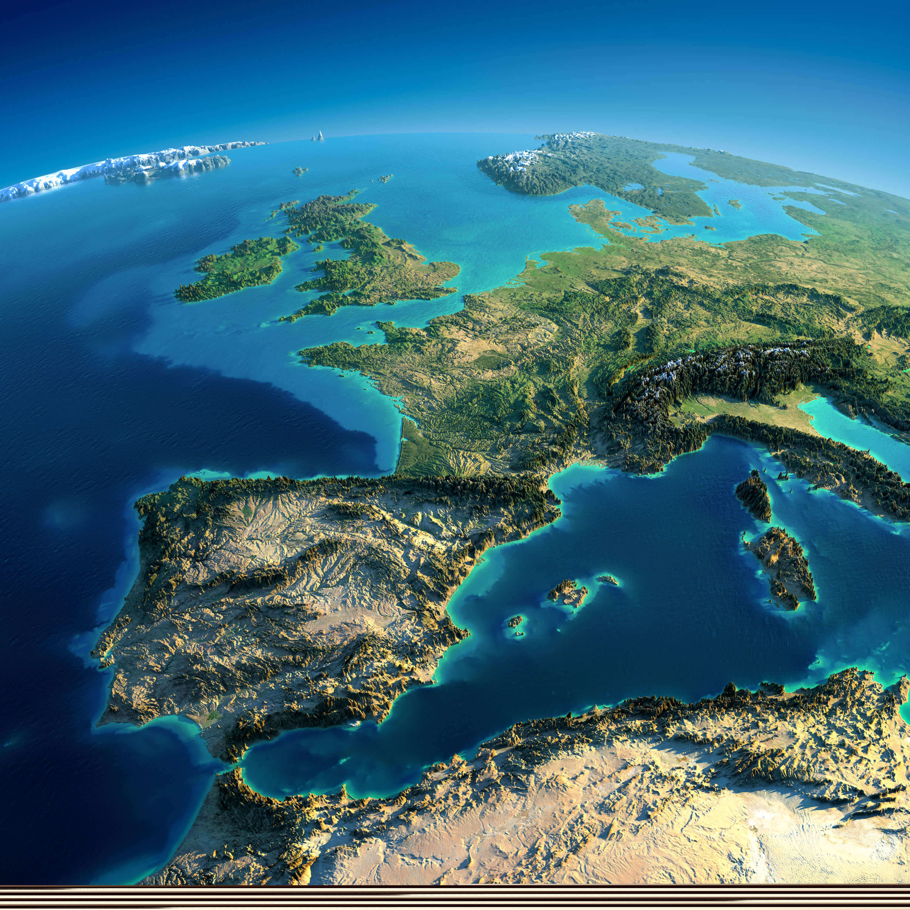
Spain Satellite Map with Portugal
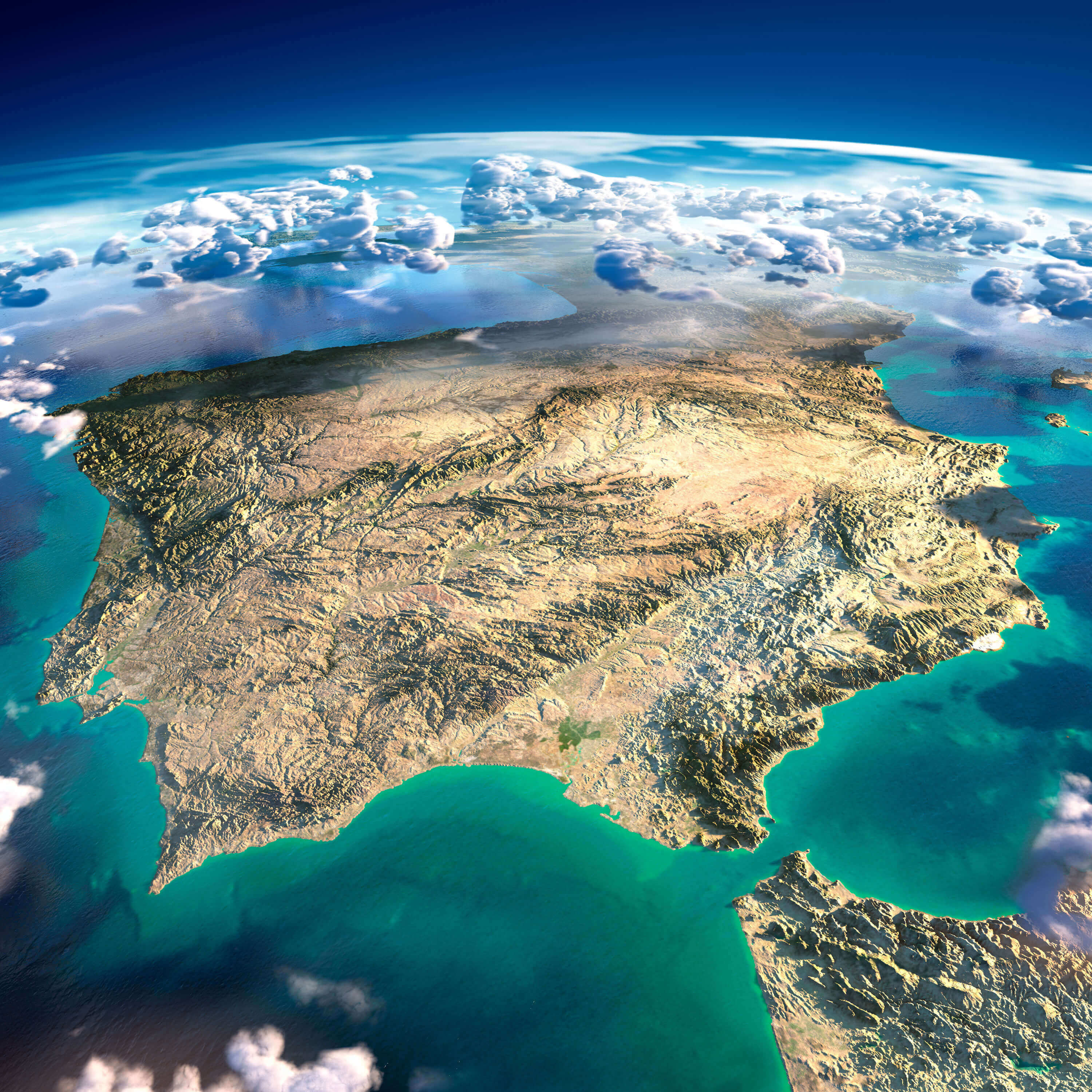 Highly detailed Spain and Portugal Satellite Map, Earth with exaggerated relief, translucent ocean and clouds, illuminated by the morning sun.
Antique Map of Spain
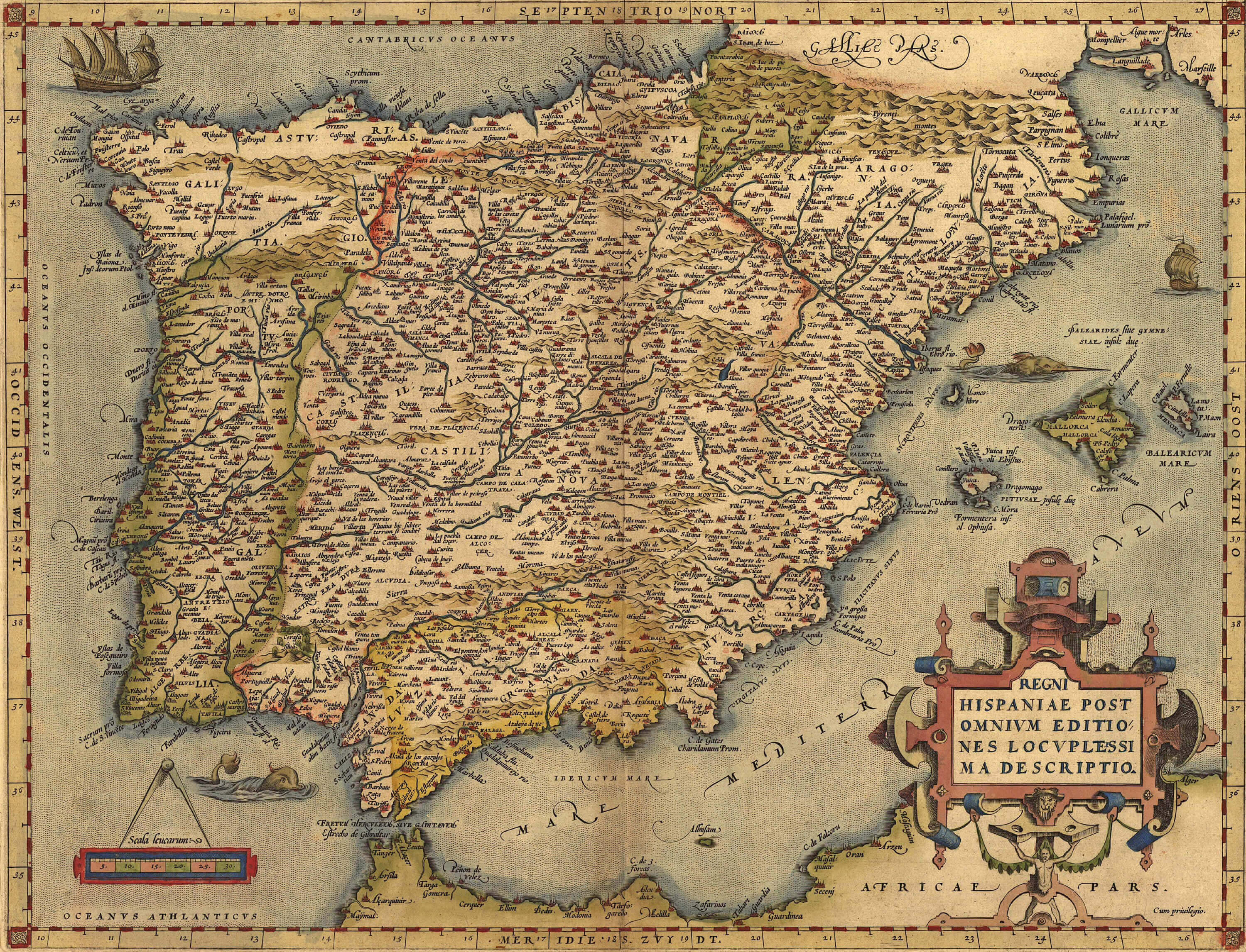 Antique Map of Spain, by Abraham Ortelius, circa 1570
Spain & Europe Satellite Image with Moonlight
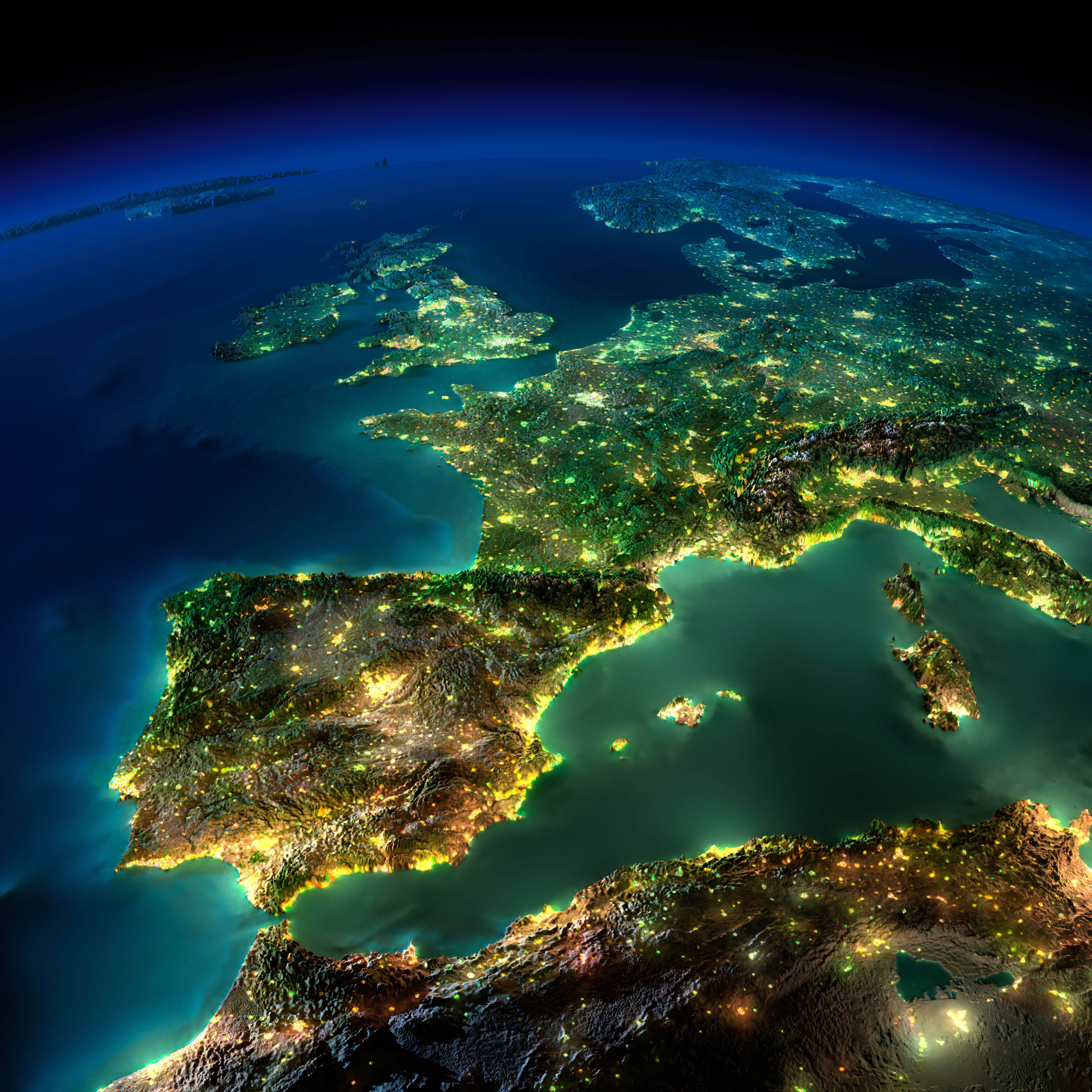 Highly detailed Spain Europe Satellite Image, illuminated by moonlight. The glow of cities sheds light on the detailed exaggerated terrain and translucent water of the oceans.
Map of Spain with Islands
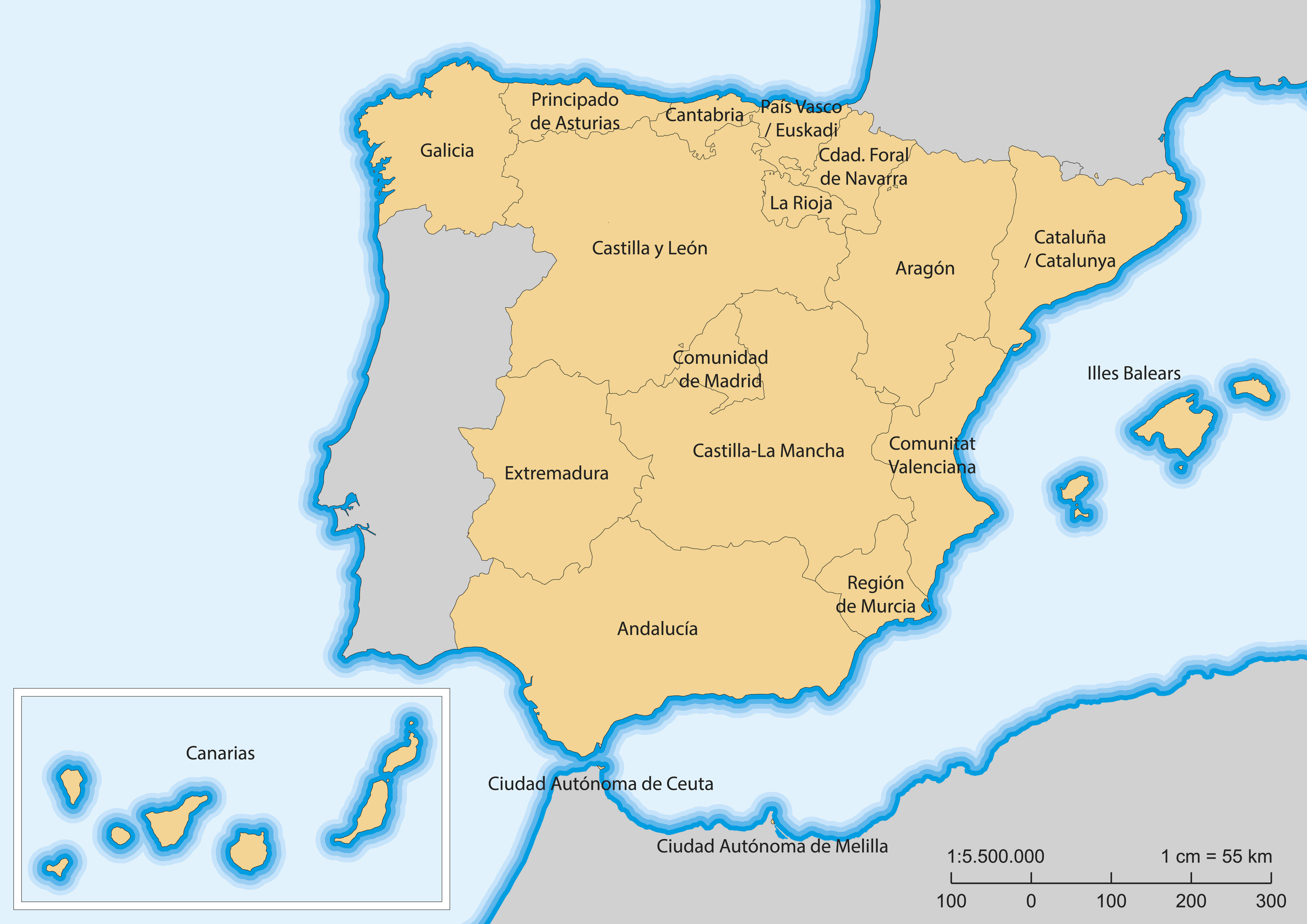 Map of Spain with islands and autonomous communities.
Spain Satellite Map and Mediterranean Sea
 Highly detailed planet Earth. Exaggerated precise relief is illuminated by the rising sun from the east. Part of Europe, Spain, the Mediterranean Sea.
Spain Topographic Map
 Spain detailed topographic map.
Spain Portugal Political Map 1894
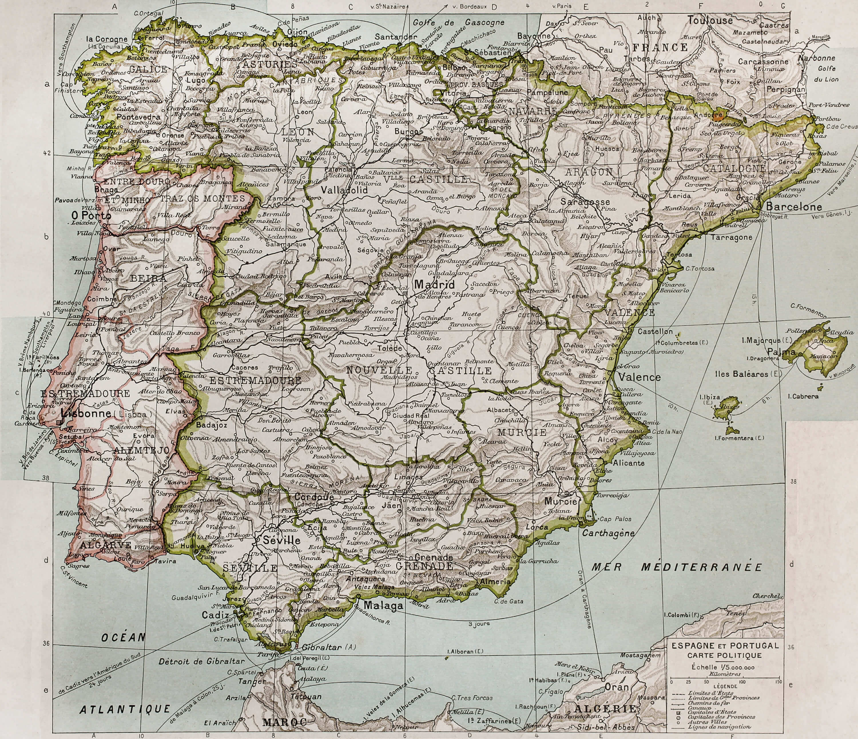 Spain and Portugal political map. By Paul Vidal de Lablache, Atlas Classique, Librerie Colin, Paris, 1894 (first edition).
Spain Between 1808 and 1814 Old Map
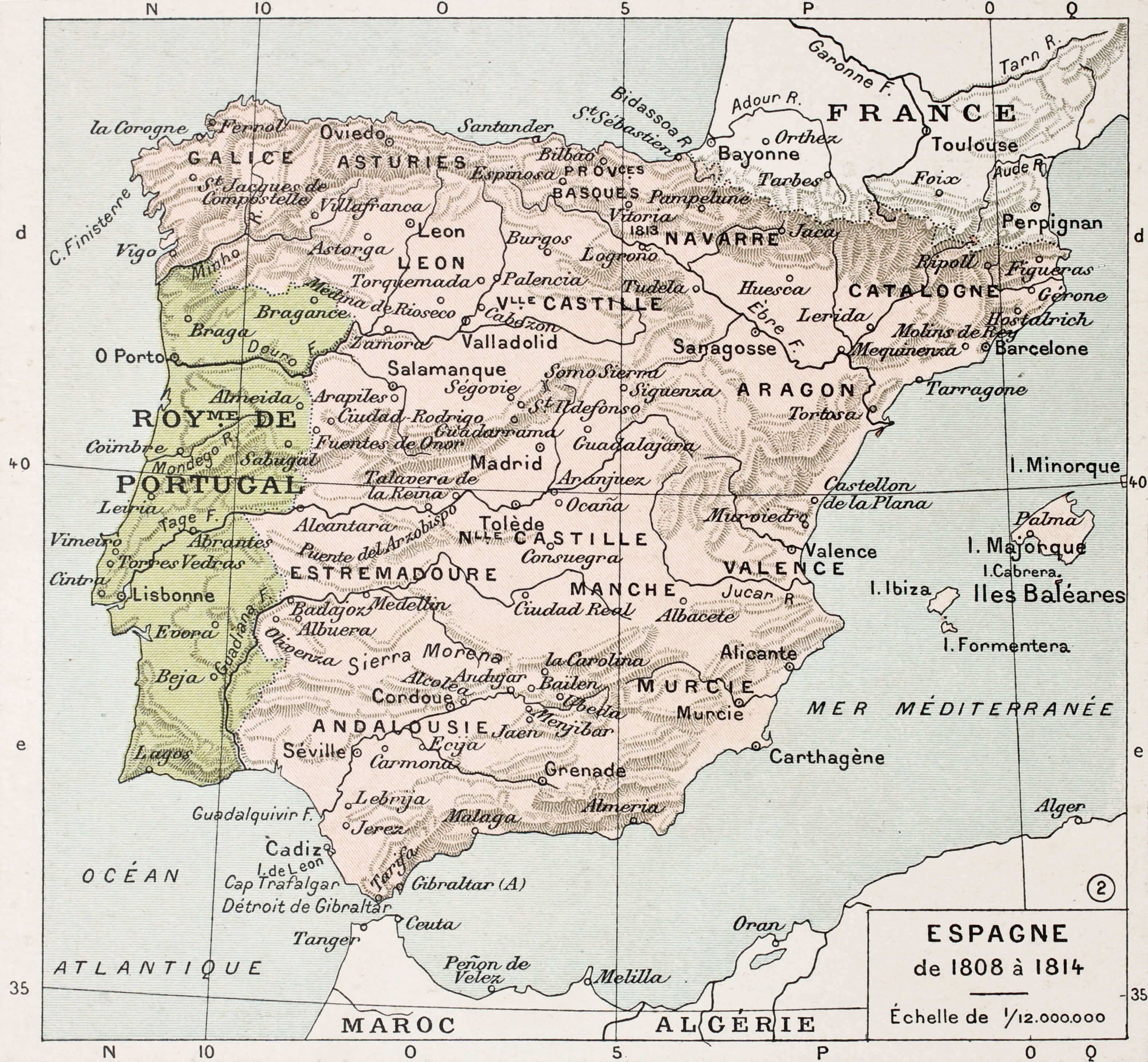 Spain between 1808 and 1814 old map. By Paul Vidal de Lablache, Atlas Classique, Librerie Colin, Paris, 1894
Pushpin Marking on Spain Map
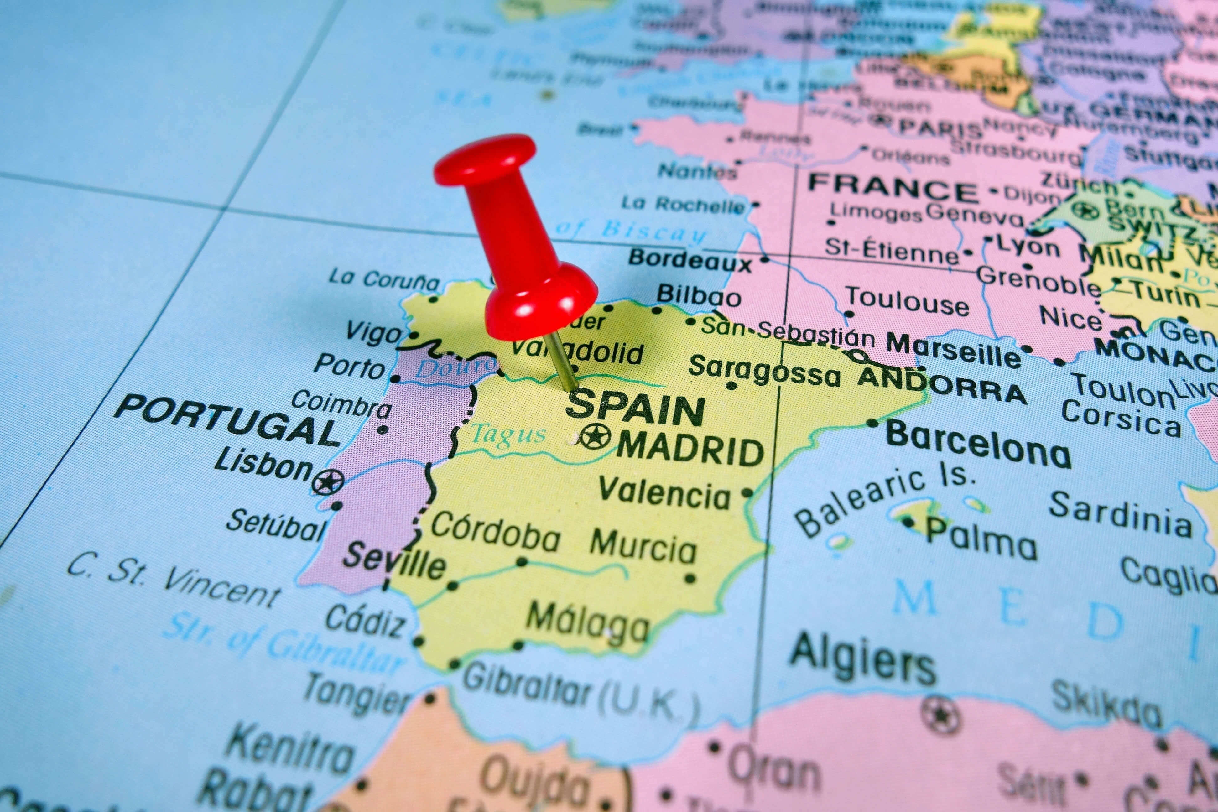 Pushpin marking on Spain map.
Map of Spain with Pushpin
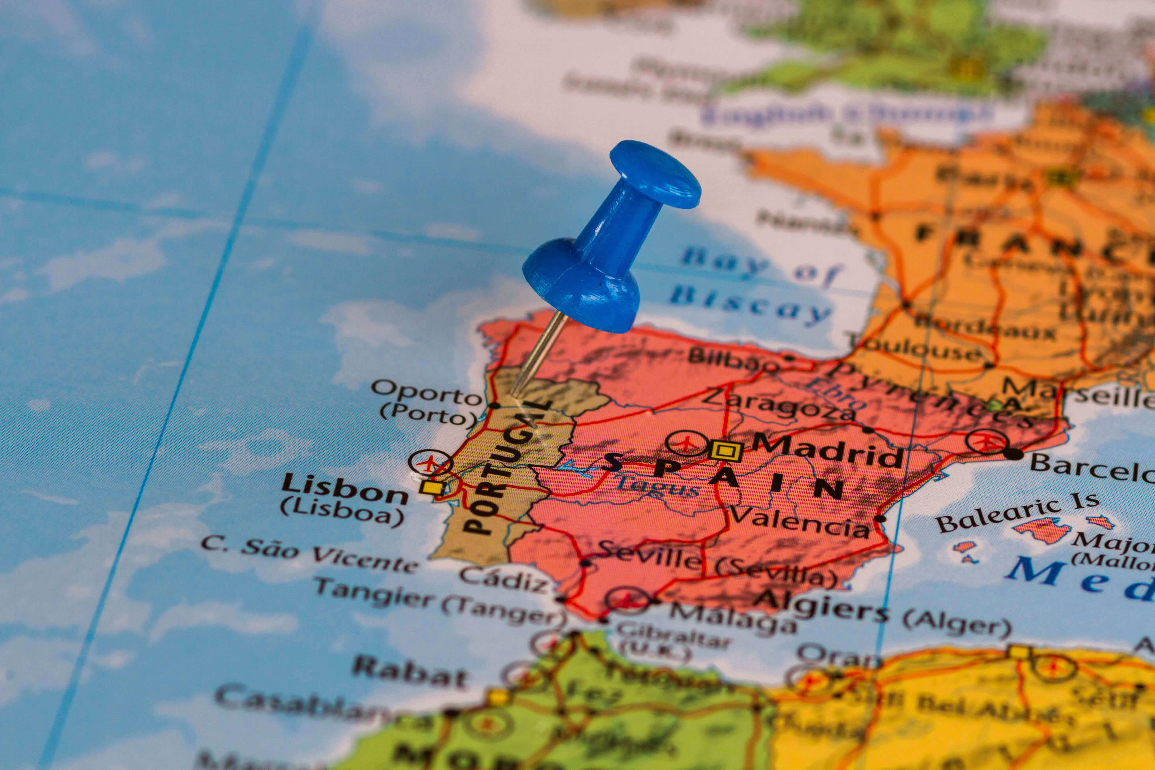 Map of Spain with a blue pushpin stuck.
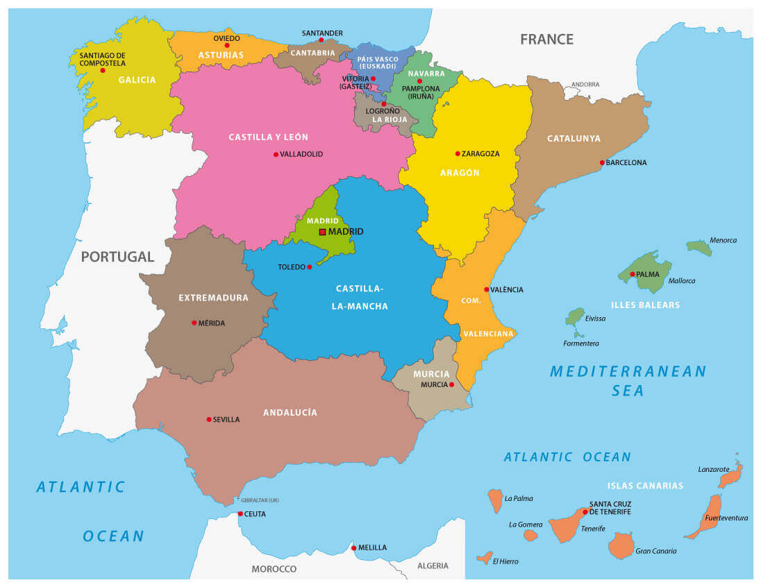
Map of Spain with Regions
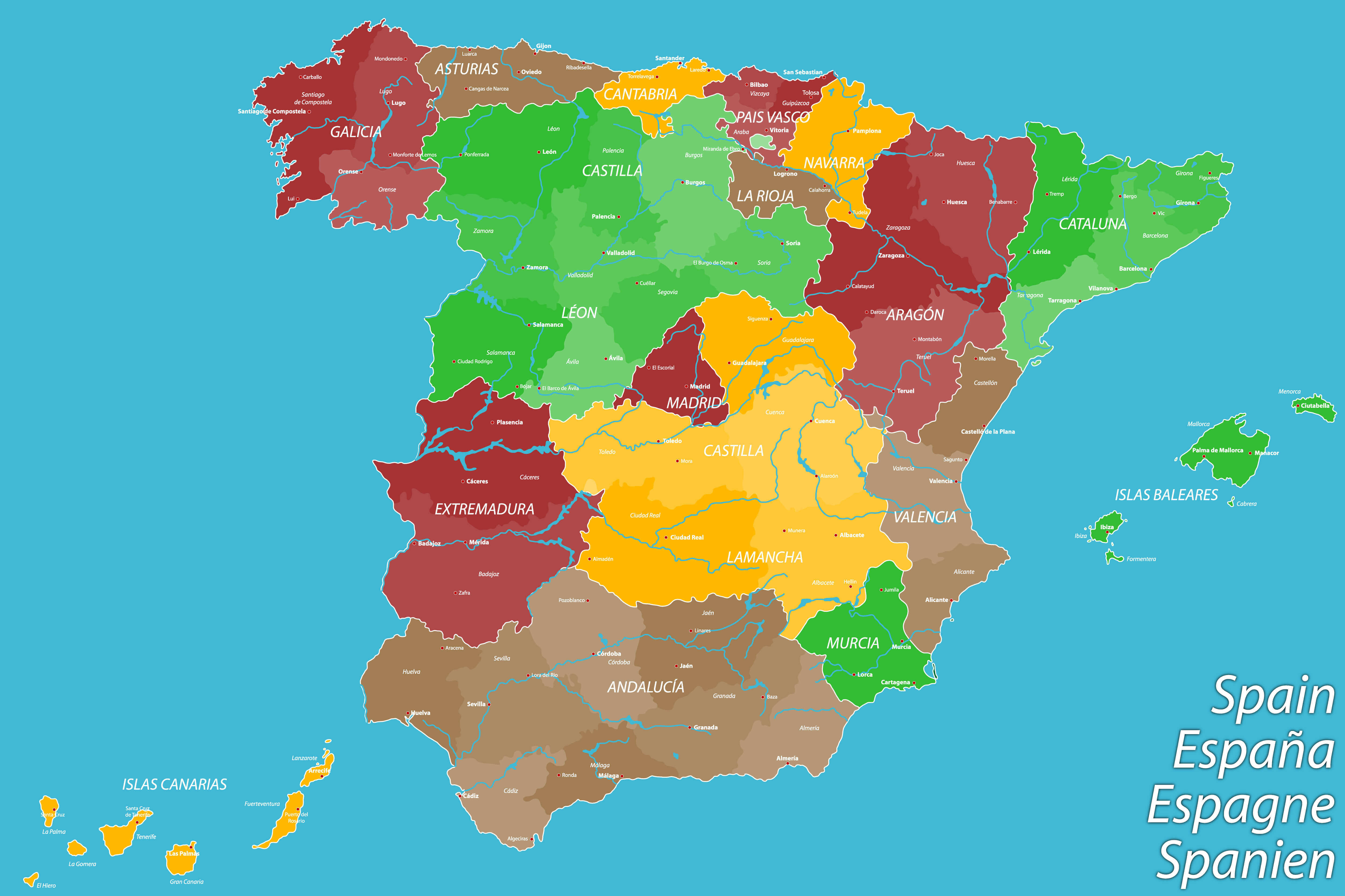 Map of Spain with Regions
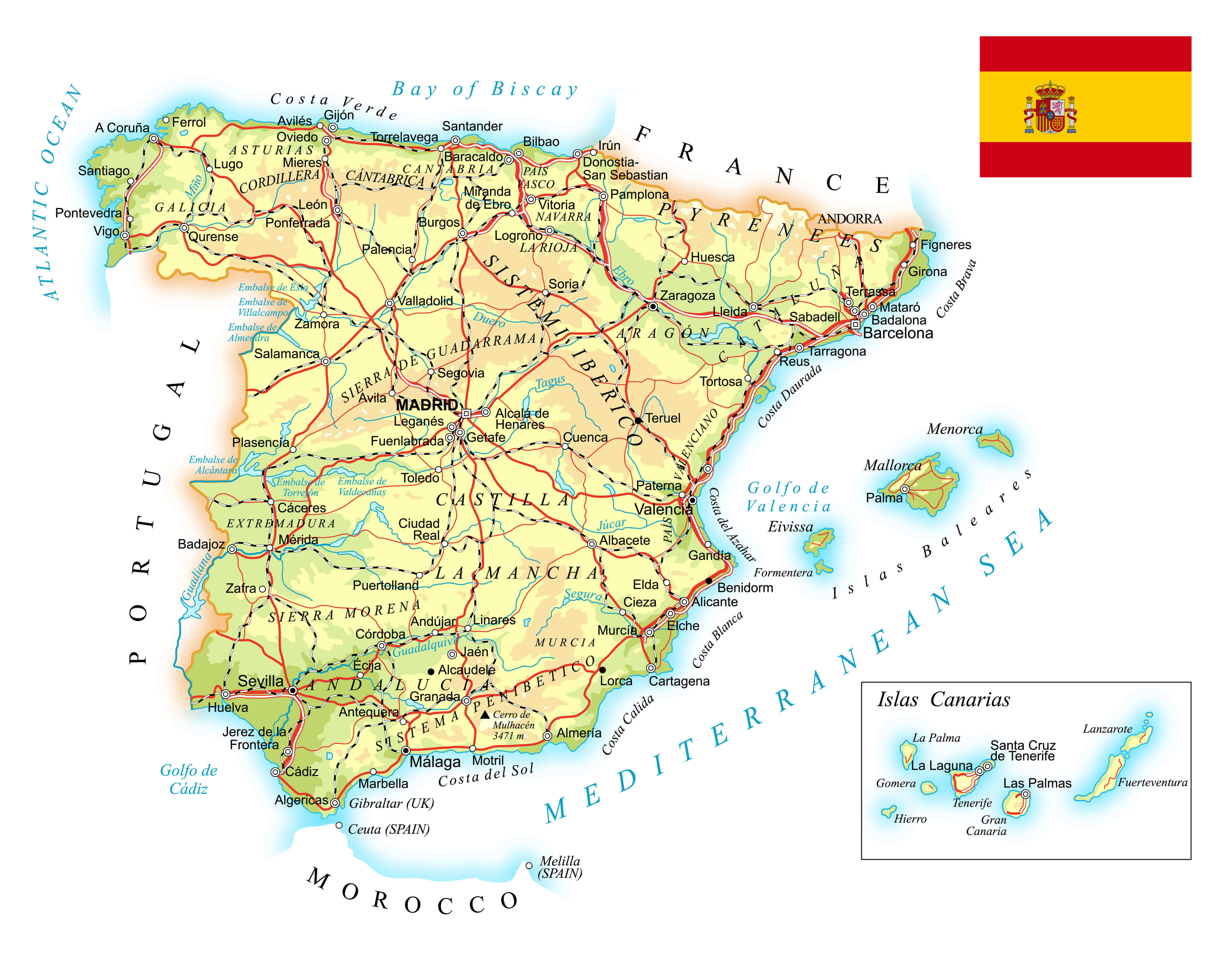
Road Map of Spain with Highways
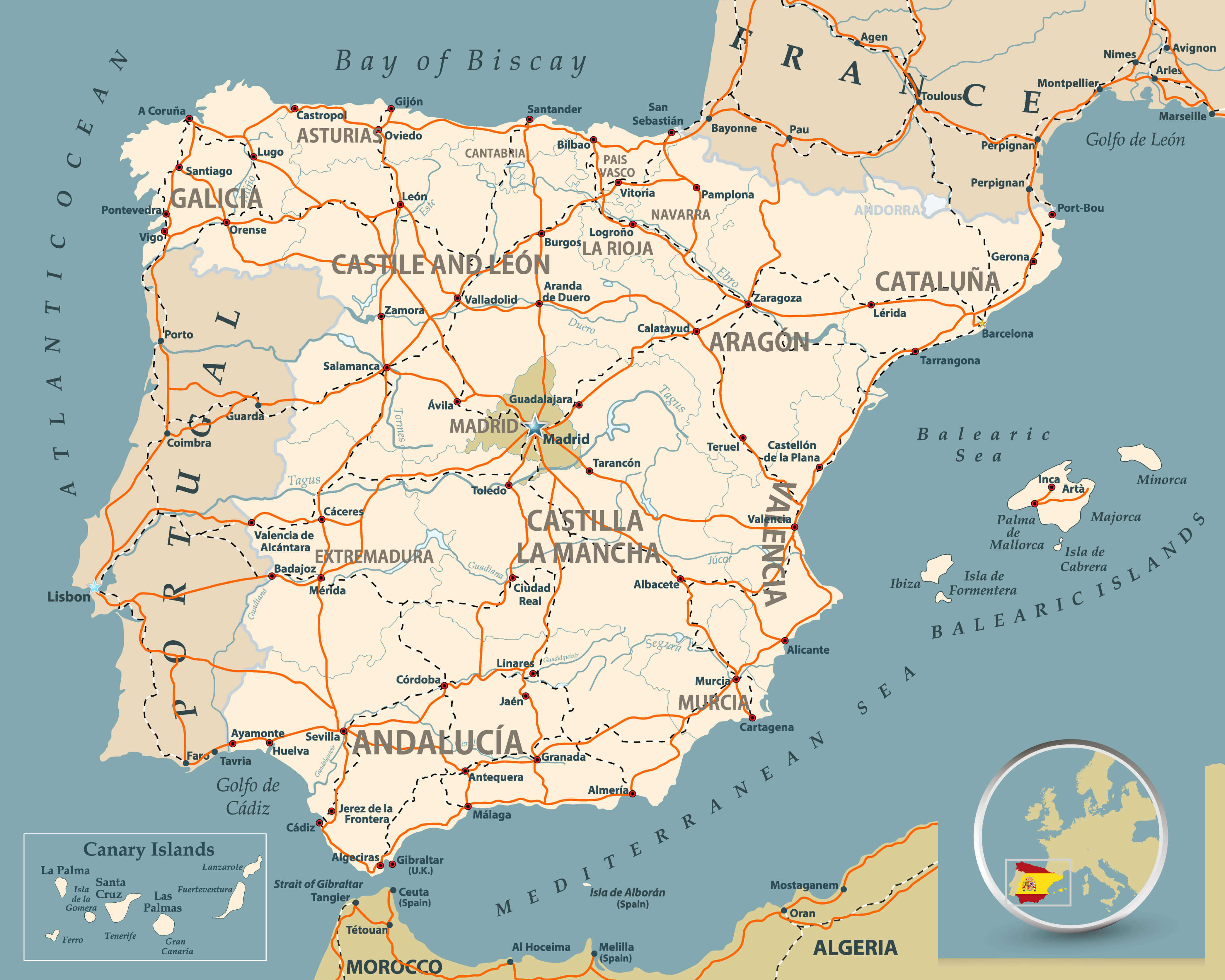 Road map of Spain with highways, railroads, cities, rivers and navigation icons/Road map of Spain.
Spain Blank Map
 Spain Blank Map
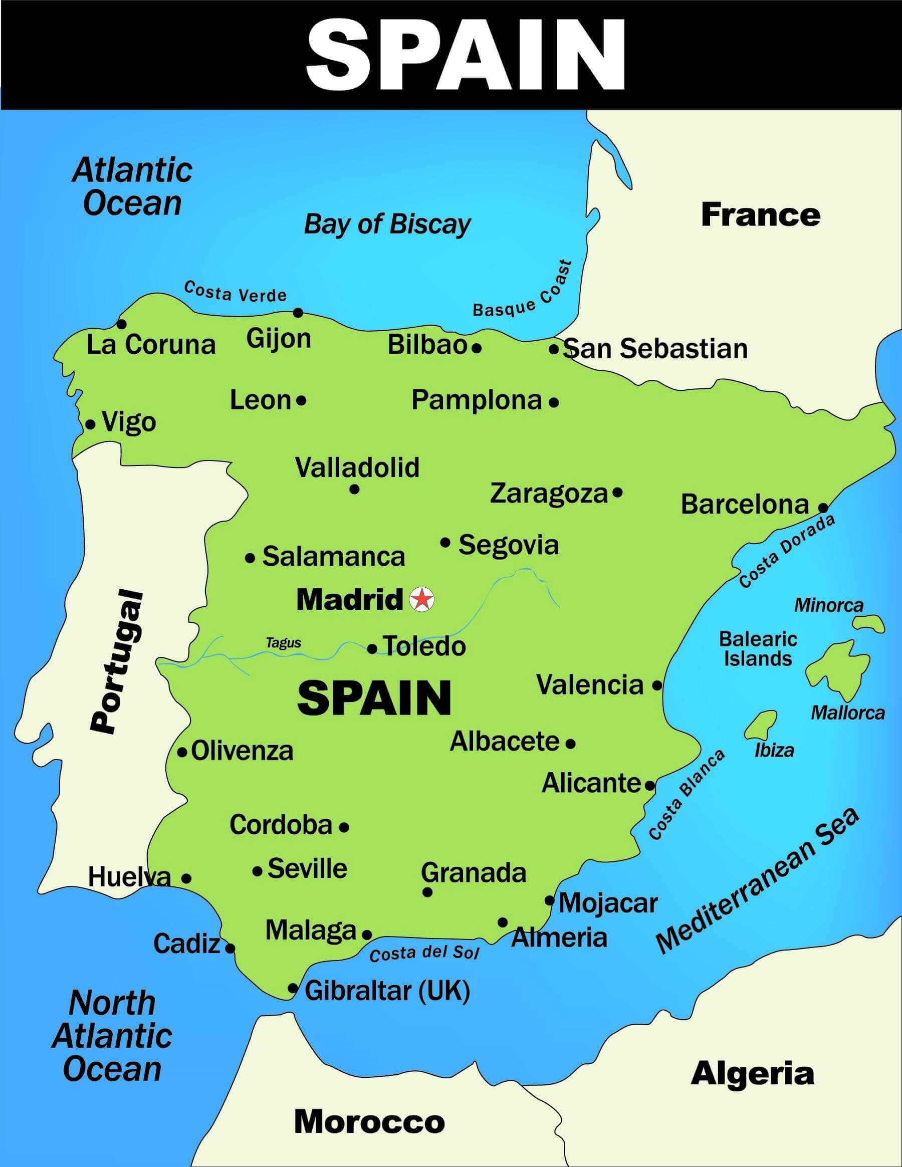
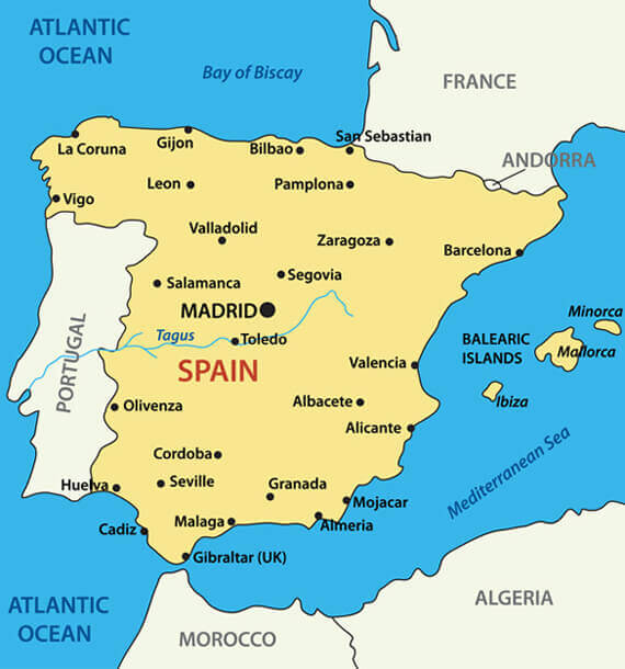
Spain Main Cities Map
 Spain Main Cities Map
Spain Regions Map
 Spain Regions Map
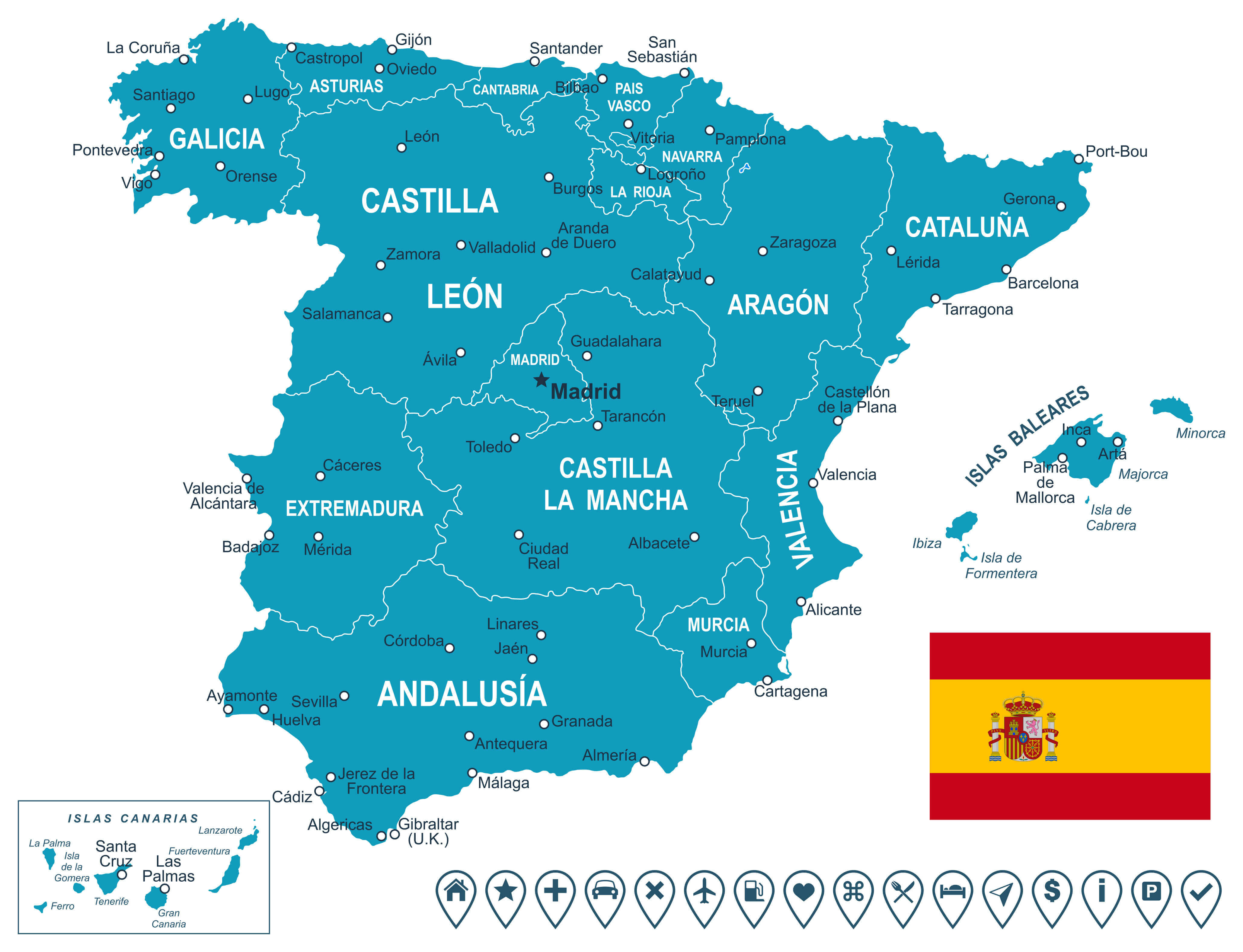
Illustrated Cities Map of Spain
 Illustrated map of Spain with major cities.
Spain Rivers and Cities Map
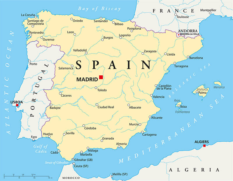 Spain Political Map with capital Madrid, national borders, most important cities, rivers and lakes.
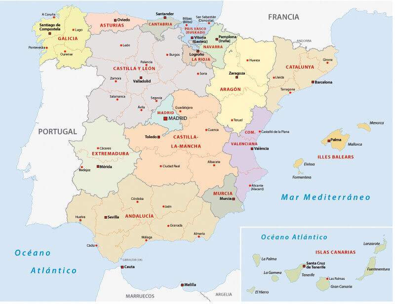
Spain Administrative Map
 Spain Administrative Map
Autonomous communities map of Spain.
 Autonomous communities map of Spain.
Spain Kingdom Map
 Spain Kingdom Map
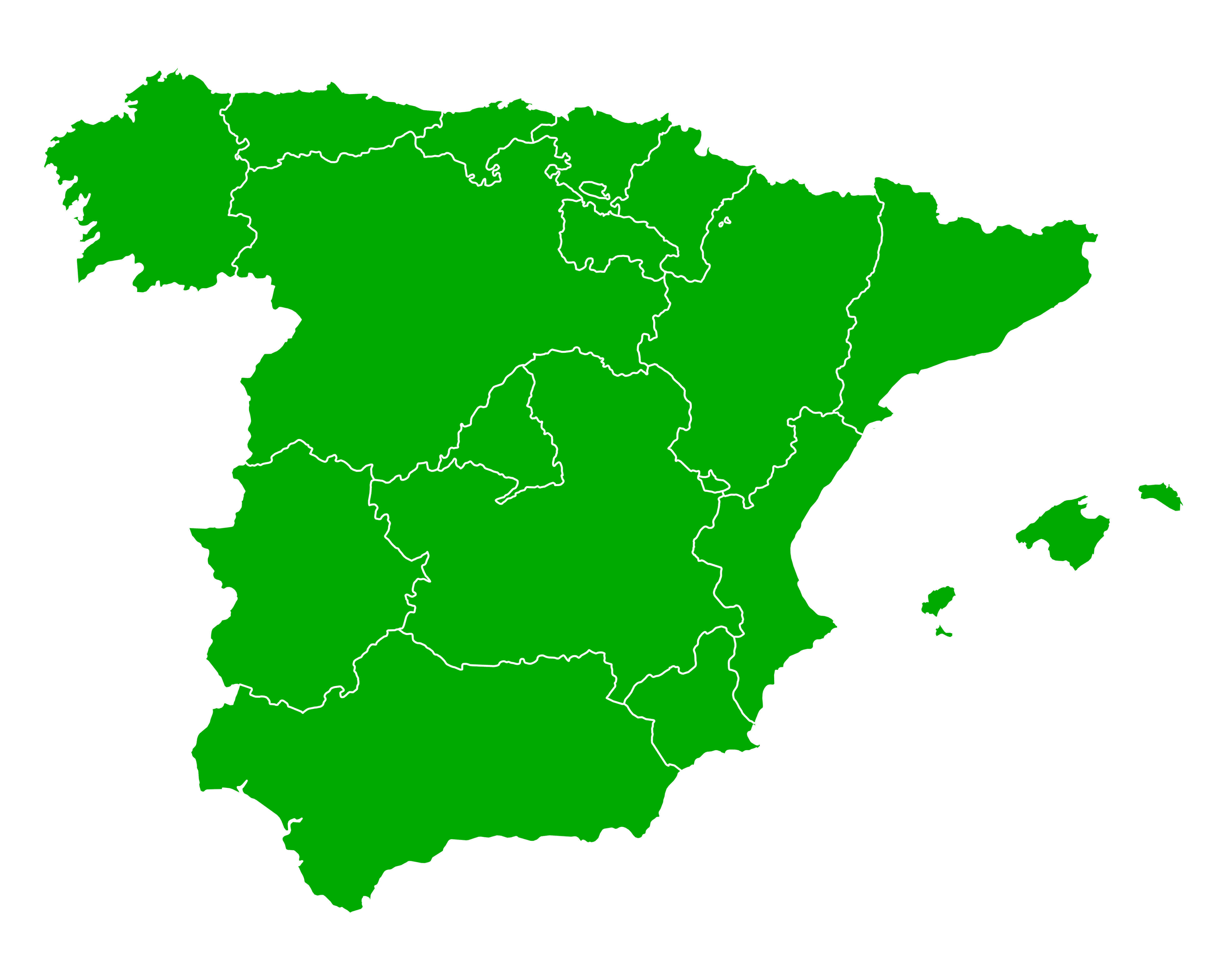
Green Spain Map with Regions
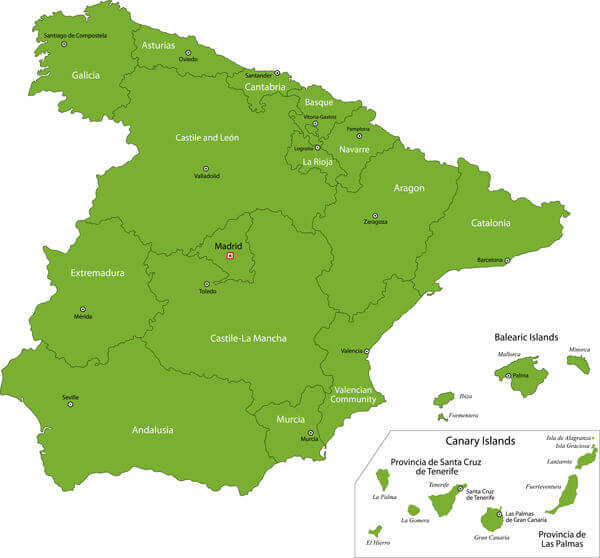 Green Spain map with regions.
Largest Cities' Map of Spain
La Coruna Map Alicante Map Badalona Map Barcelona Map Bilbao Map Cartagena Map Cordoba Map Elche Map Fuenlabrada Map Gijon Map Las Palmas Map L'Hospitalet Map Madrid Map Murcia Map Palma de Mallorca Map Sabadell Map Tenerife Map Sevilla Map Terrassa Map Valencia Map Valladolid Map Vigo Map Vitoria Gasteiz Map Zaragoza MapCopyright GuideofTheWorld.Net 2006 - 2026. All rights reserved. Privacy Policy | Disclaimer