
Belgium Map
Navigate Belgium map, satellite images of the Belgium, states, largest cities, political map, capitals and physical maps.

- Capital : Brussels
- Population : 11,041,266
- GDP : $513.396 billion (21st)
- Per Capita : $46,878 (16th)
- Calling Code : +32
- Jobless Rate : 7.40%
- Time Zone : +1
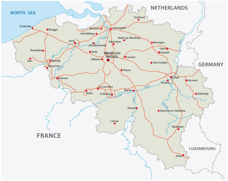
Belgium Road Map
 High detailed Belgium road map with labeling.
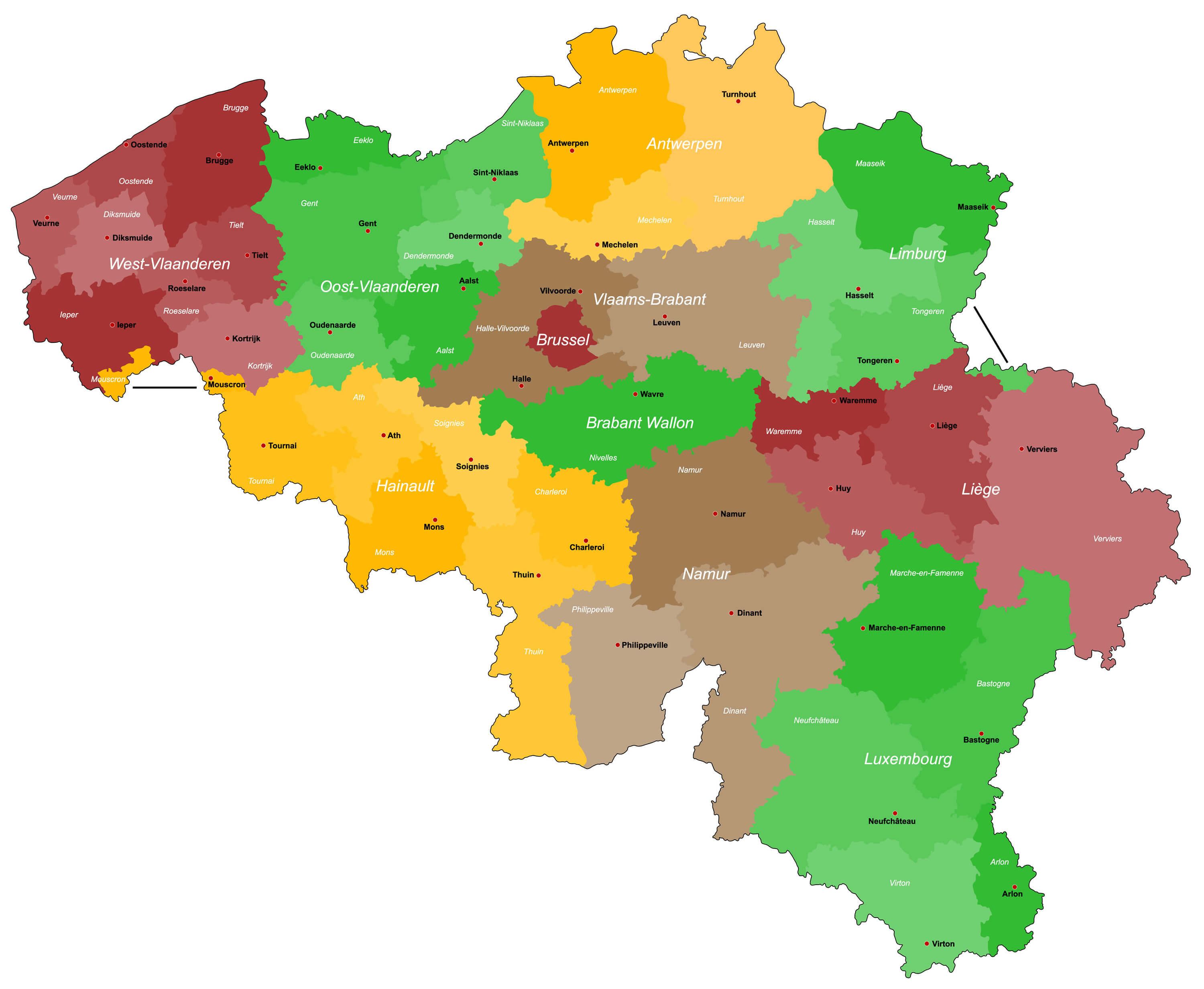
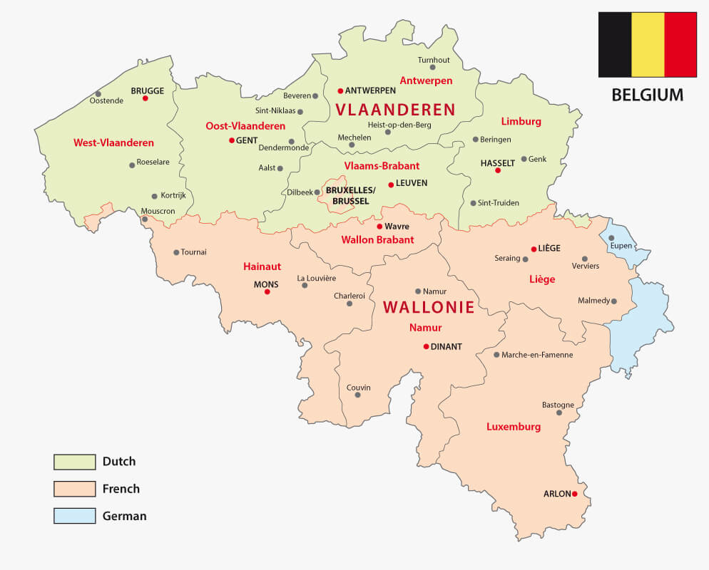
Belgium Provinces Map
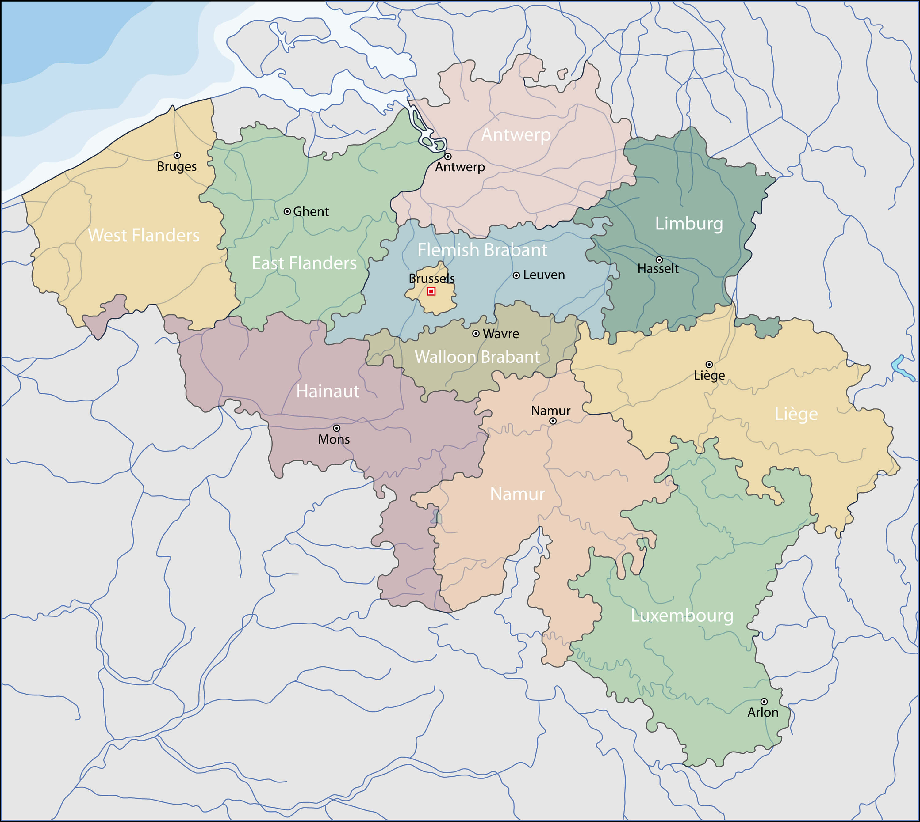 Provinces Map of Belgium.
Belgium Physical Map
 High detailed Belgium physical map with labeling.
Belgium Map
 Belgium map with major cities.
Belgium Country Map
 Abstract vector color map of Belgium country.
Belgium Europe Infographic Map
 Belgium Europe map infographic. Slide presentation. Global business marketing concept. Color country. World transportation infographics data. Economic statistic template.
Detailed Map of Belgium
 A large, detailed map of Belgium with all districts and main cities.
Belgium Blank Map
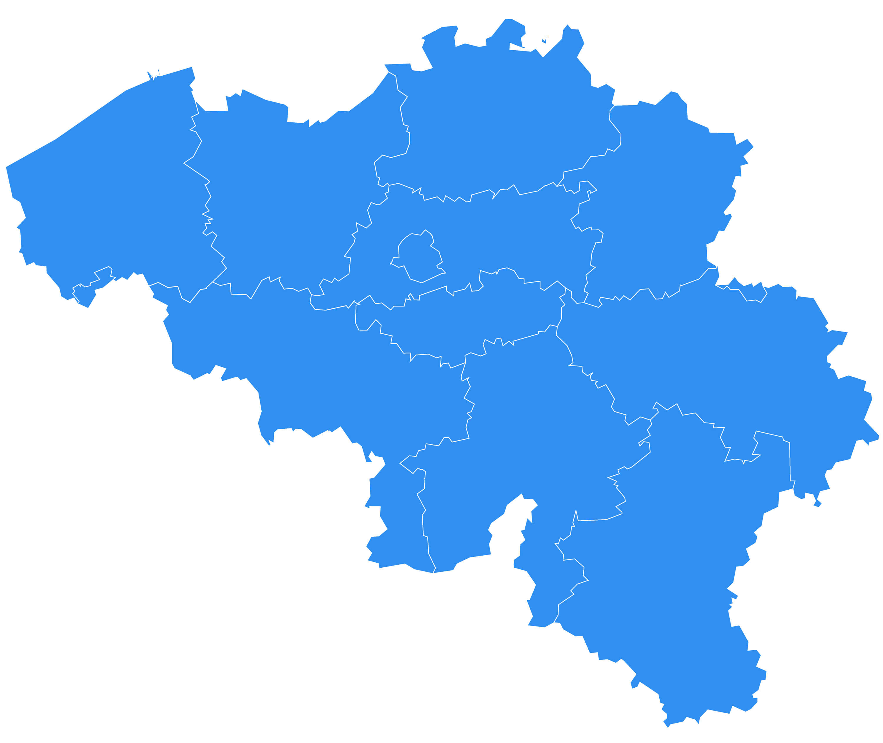 Vector map - Belgium country.
Belgium Political Map
 Belgium Political Map with capital Brussels, national borders, most important cities and rivers. English labeling and scaling.
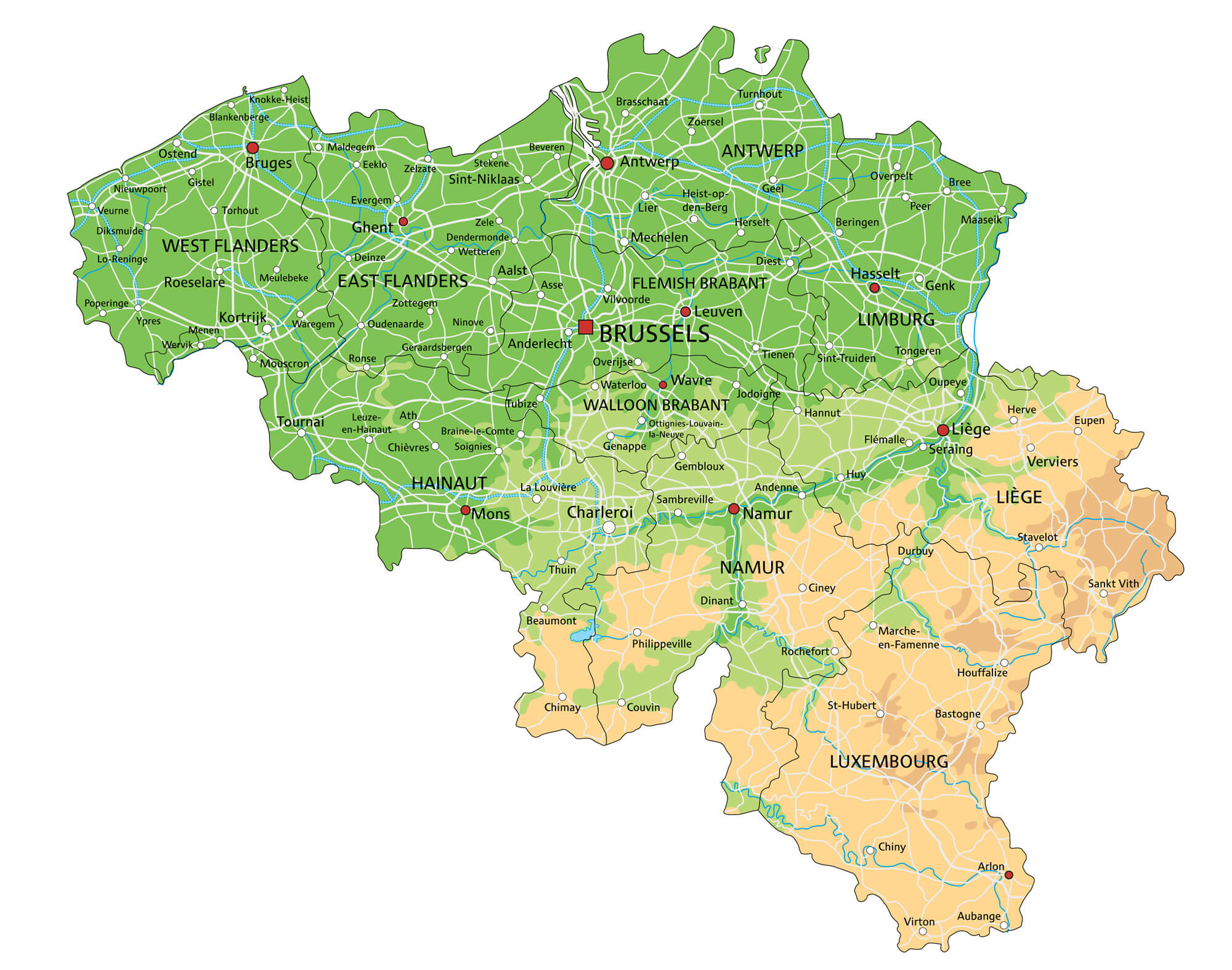
Belgium Map with Main Cities
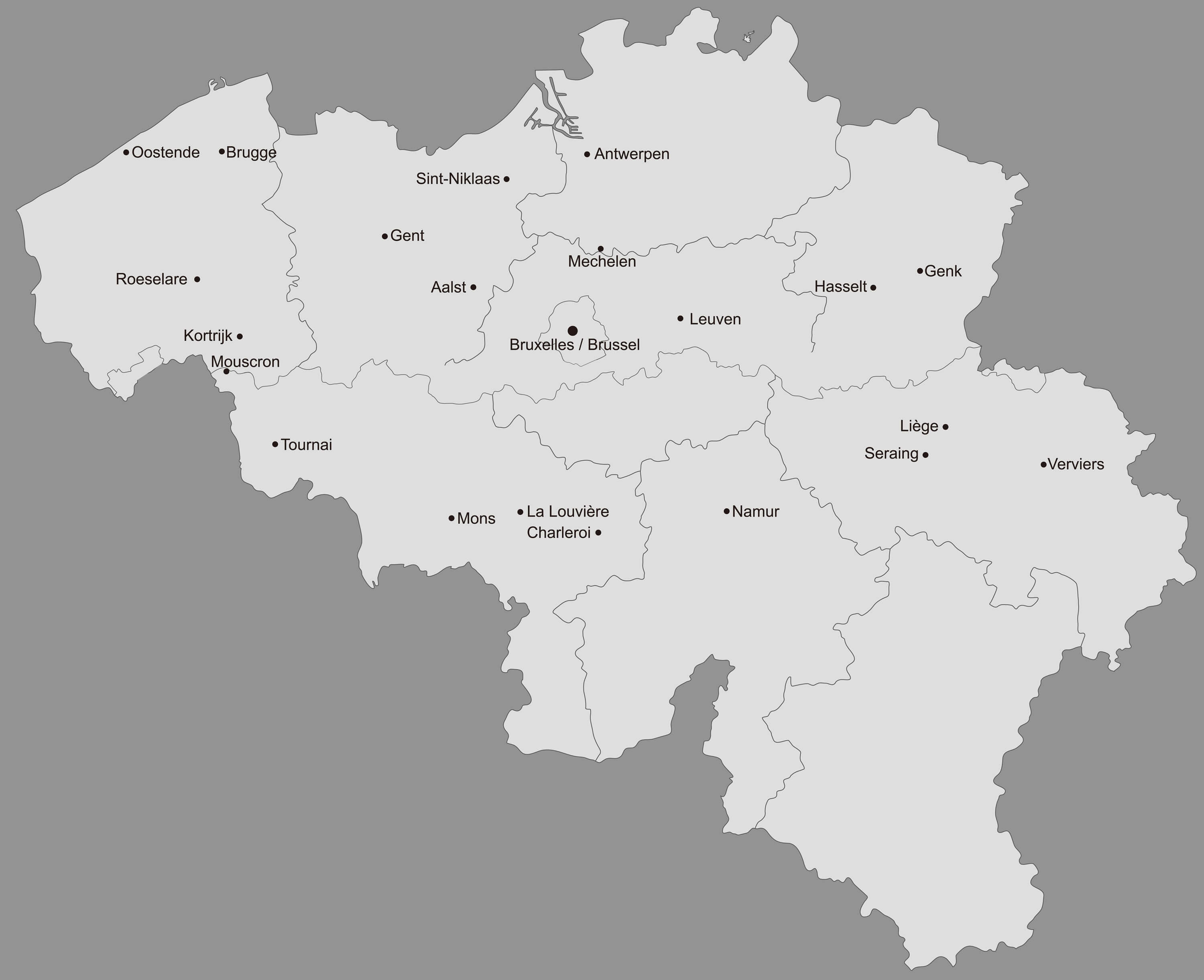 Belgium main cities map with provinces.
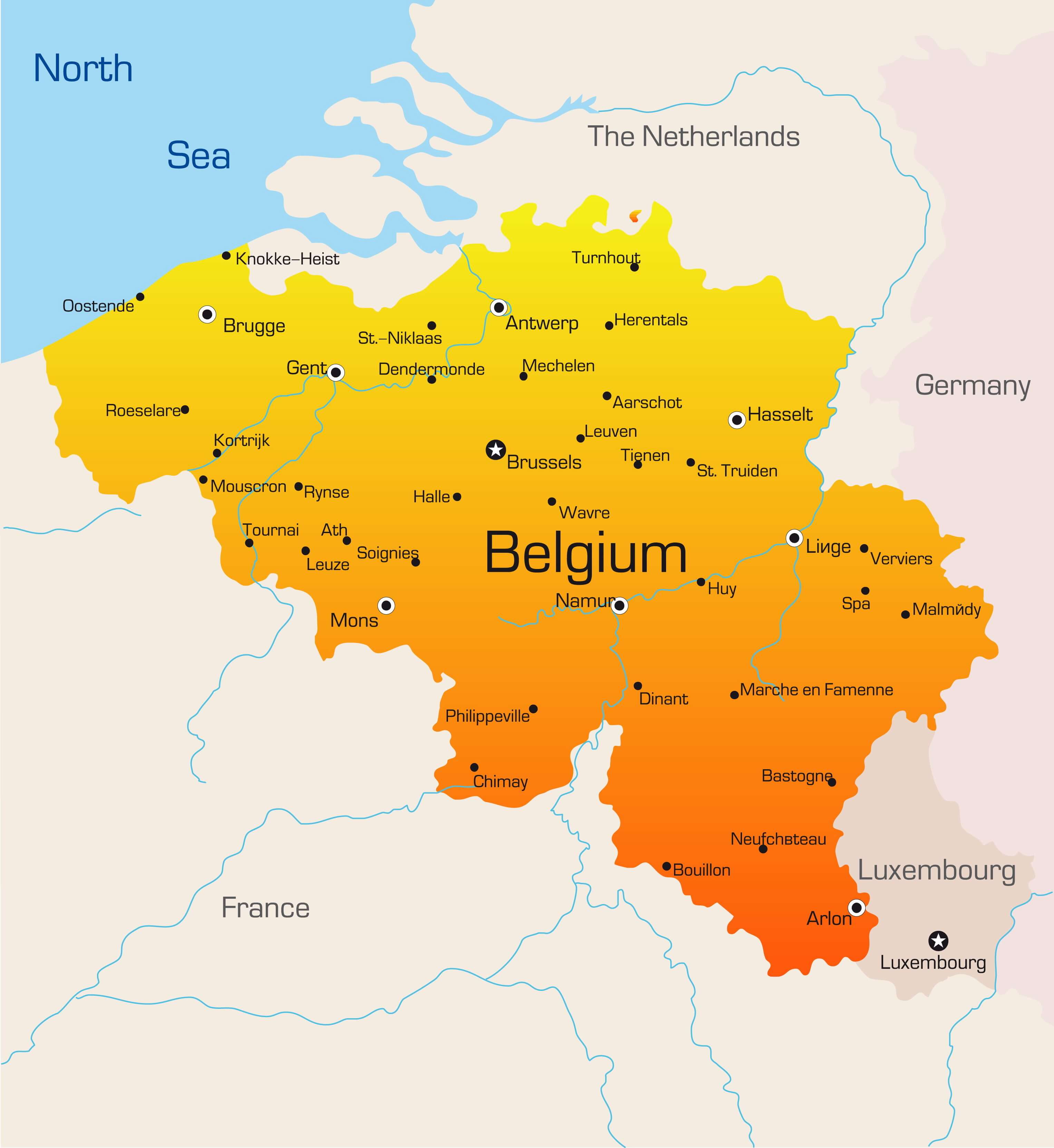
Belgium Highway Map
 Belgium highway map with major cities.
Belgian Regions Language Map
 Map of the Belgian regions and language areas.
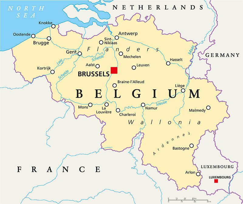
Netherlands, Belgium, Luxembourg Map
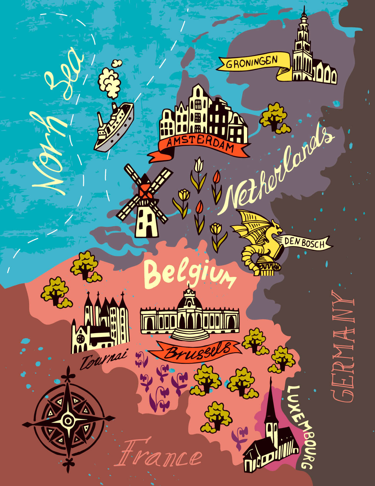 Illustrated map of the Netherlands, Belgium, Luxembourg.
Copyright GuideofTheWorld.Net 2006 - 2026. All rights reserved. Privacy Policy | Disclaimer