
Map Austria
Navigate Austria map, satellite images of the Austria, states, largest cities, political map, capitals and physical maps.

- Capital : Vienna
- Population : 8,414,638
- GDP : $391.469 billion
- Per Capita : $46,330
- Calling Code : +43
- Jobless Rate : 9.10%
- Time Zone : +1
A Collection of Austria Maps
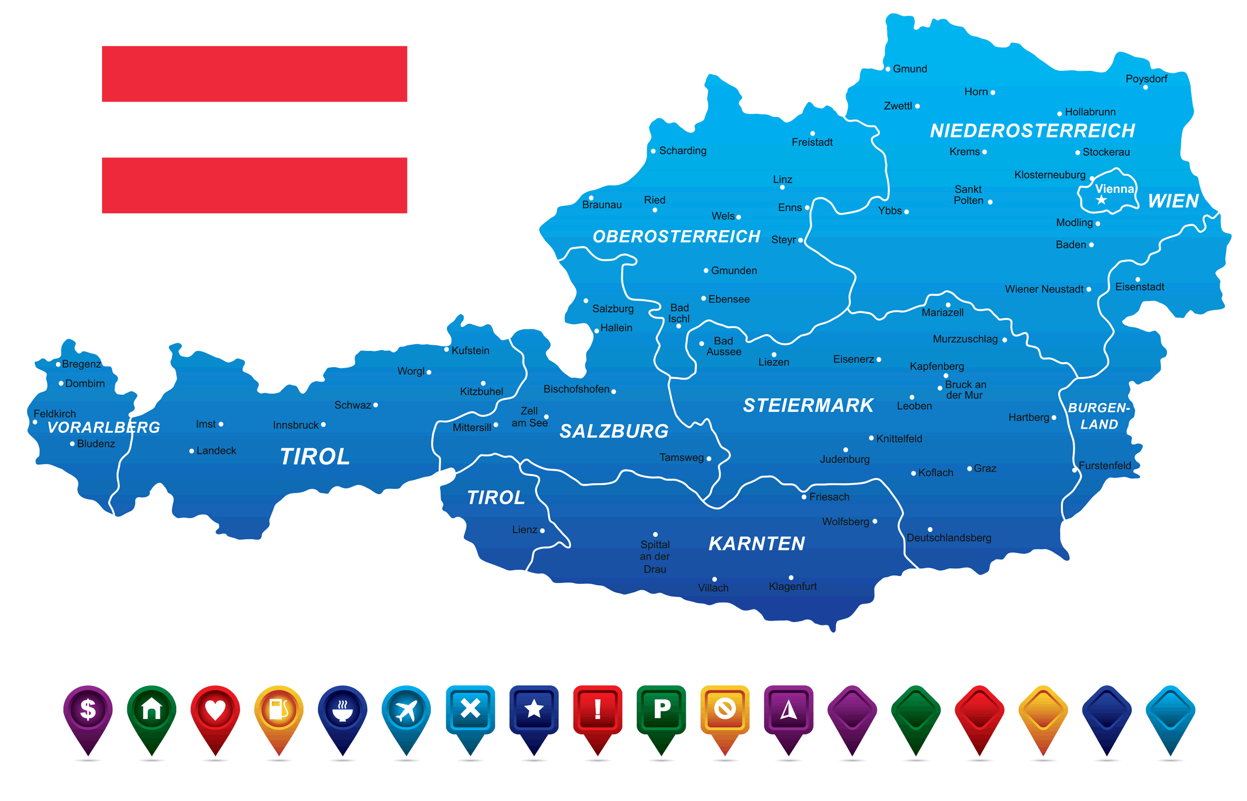
Colorful Austria map
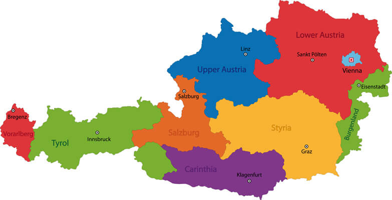 Colorful Austria map with states and main cities.
Map of Austria
 Map of Austria - vector illustration.
Administrative map of Austria
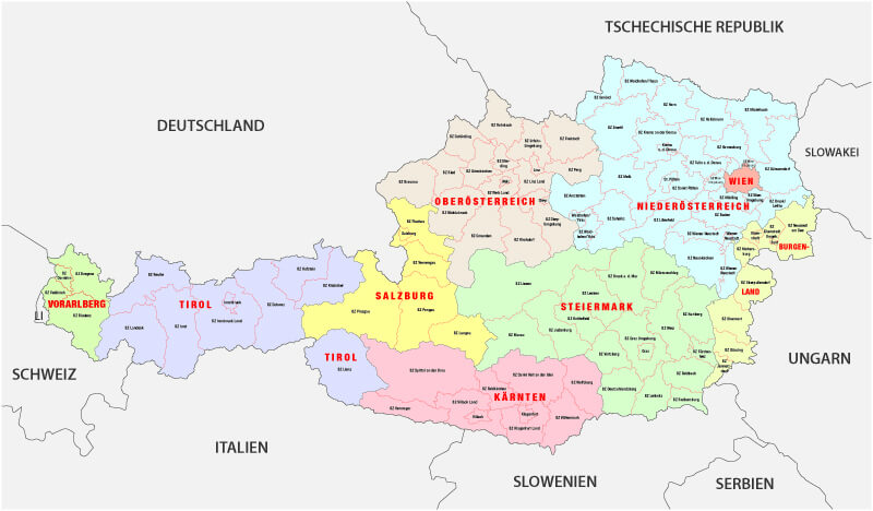 Administrative map of Austria with provinces.
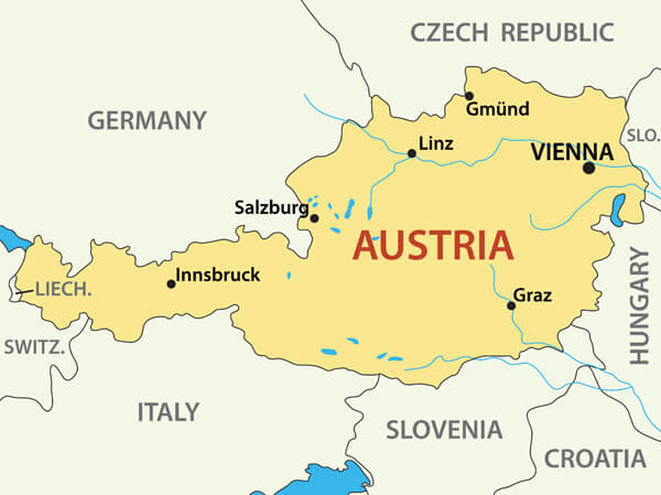
Austria Political Map
 Austria Political Map with capital Vienna, with national borders, most important cities, rivers and lakes. Illustration with English labeling and scaling.
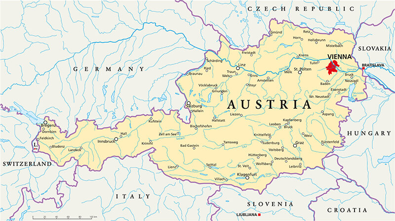
Austria physical map
 High detailed Austria physical map with labeling.
Austria Map
 Austria Map with main cities and provinces vector illustration
Largest Cities' Map of Austria
Vienna Map Graz Map Linz Map Salzburg Map Innsbruck Map Klagenfurt Map Wels Map Villach MapCopyright GuideofTheWorld.Net 2006 - 2026. All rights reserved. Privacy Policy | Disclaimer