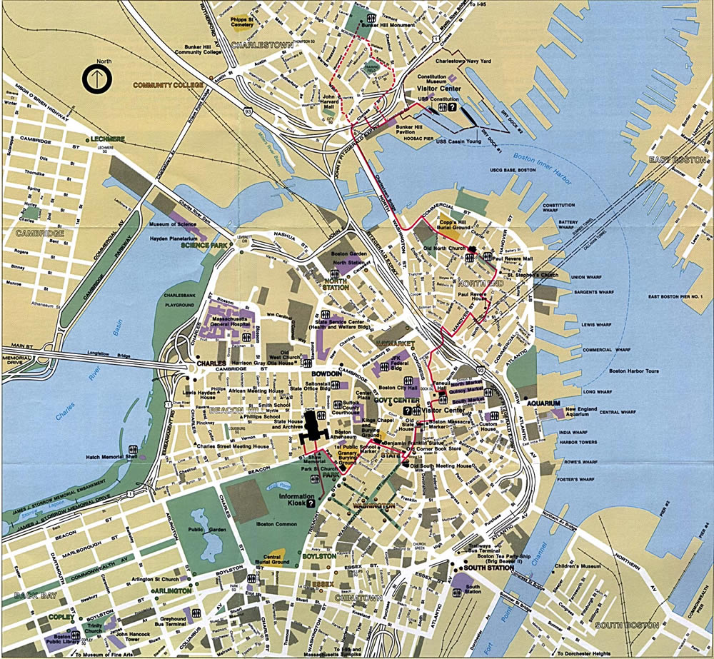
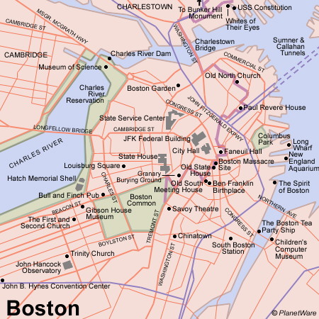
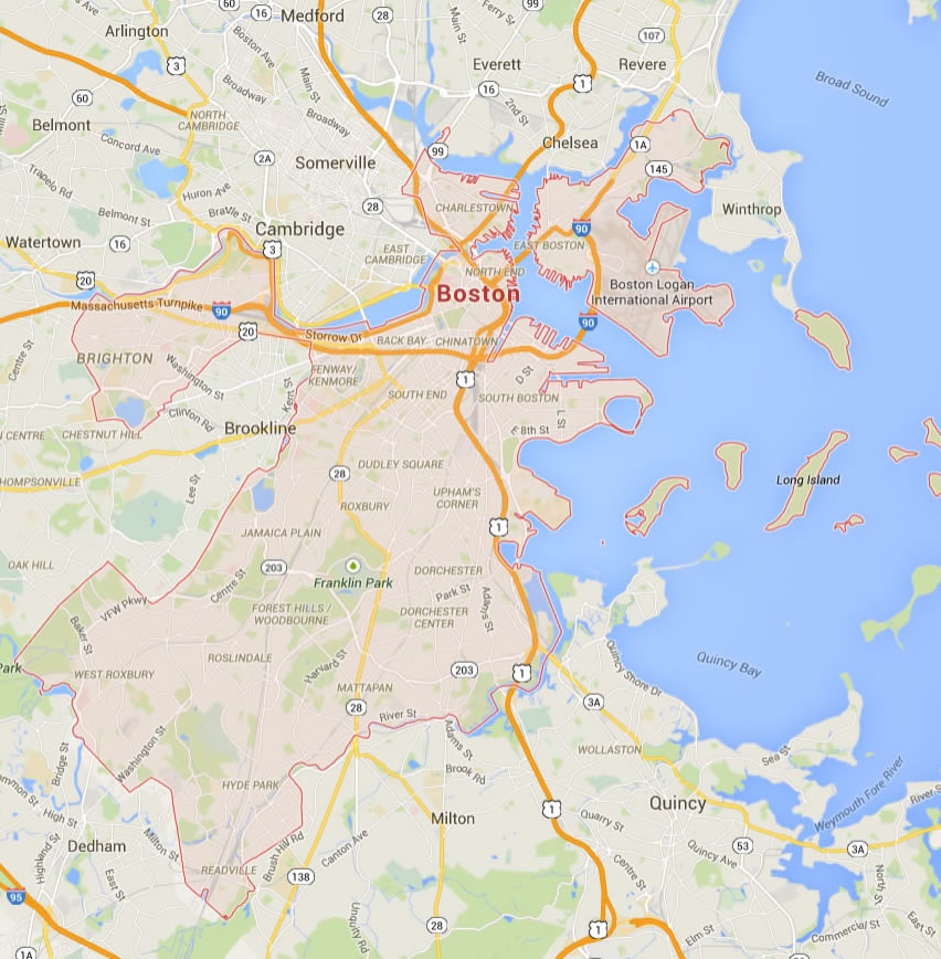
Boston Map
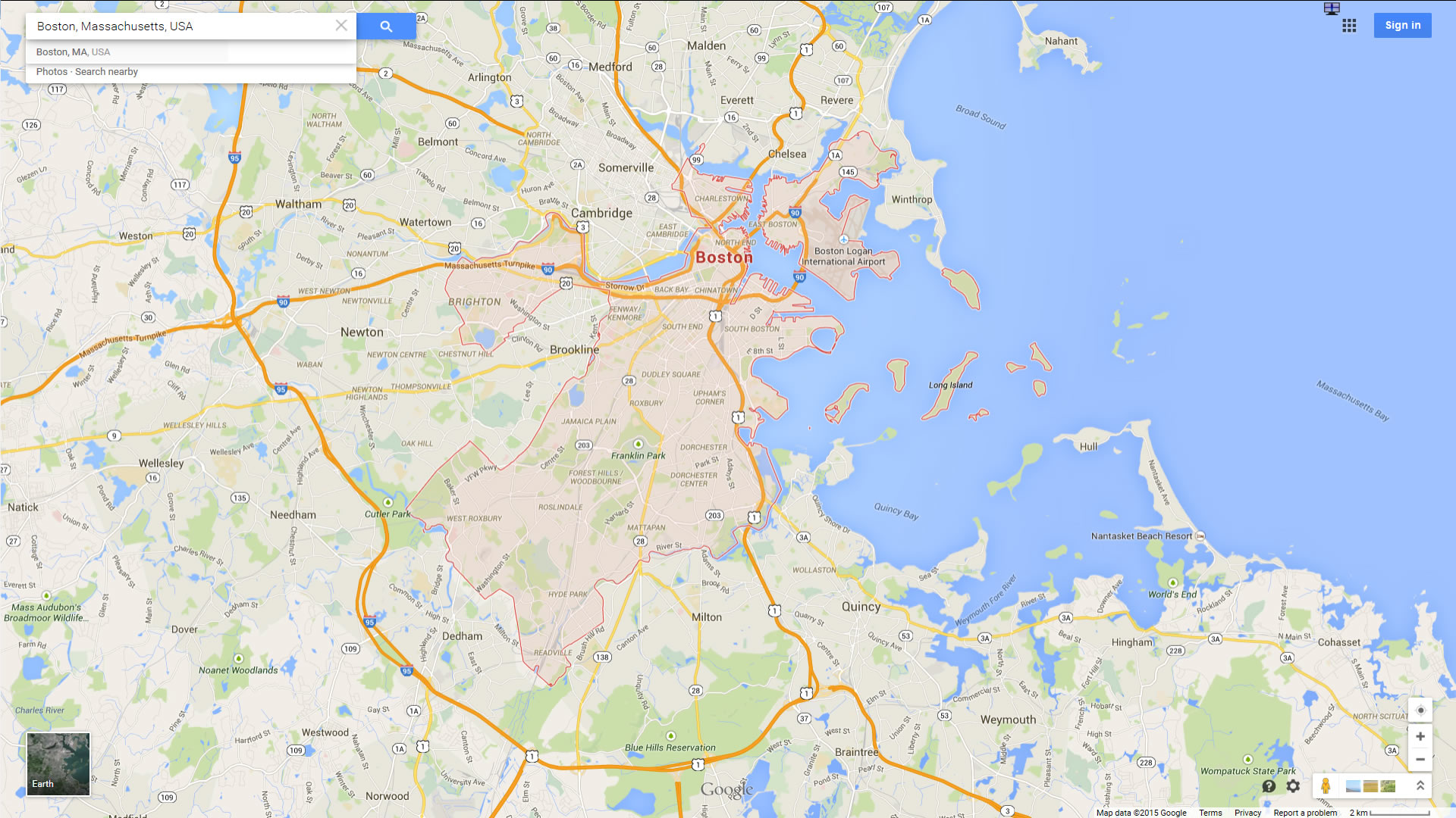
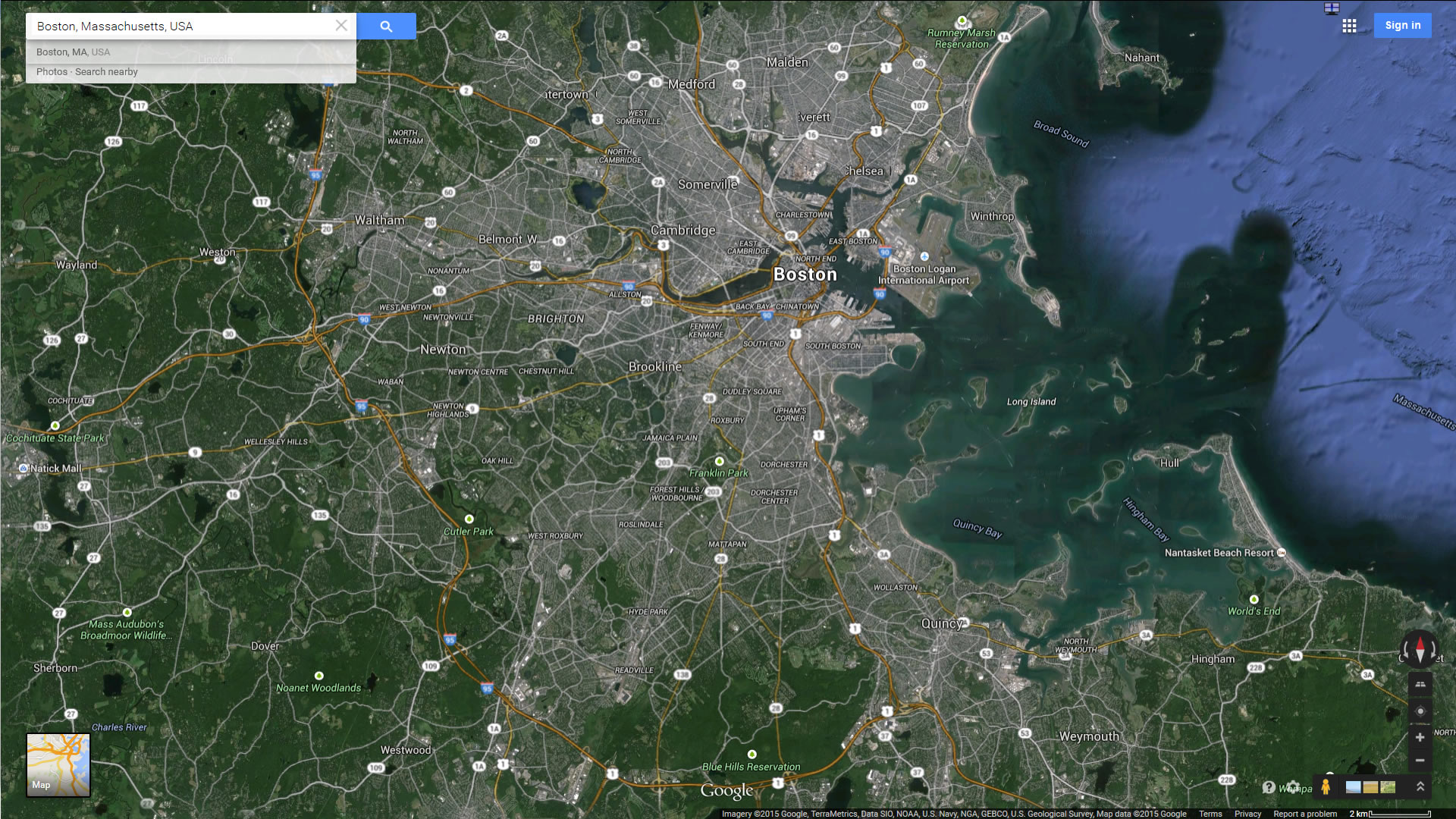
Navigate Boston map, Boston country map, satellite images of Boston, Boston largest cities, towns maps, political map of Boston, driving directions, physical, atlas and traffic maps.
Click for Content Detail »
Find desired maps by entering country, city, town, region or village names regarding under search criteria. On upper left Map of Boston (+) beside zoom in and (-) sign to to zoom out via the links you can visit. Boston Map move the mouse over it via (left click) and clicking the image you can drag. Right upper Map, Satellite, Terrain icons via the map view, satellite, hybrid and terrain map can be switch between images.
Boston City Town Maps
Related Boston Maps and Boston Satellite Images
Largest Massachusetts Cities by Population
» Boston Map » Worcester Map » Springfield Map » Lowell Map » Cambridge Map » New Bedford Map » Brockton Map » Quincy Map » Lynn Map » Fall River Map » Newton Map » Lawrence Map » Somerville Map » Framingham Map » Haverhill Map » Waltham Map » Malden Map » Brookline Map » Medford Map » Taunton Map » Chicopee Map » Weymouth Town Map » Revere Map » Peabody MapFor all Massachusetts cities map
Click for Google Map »
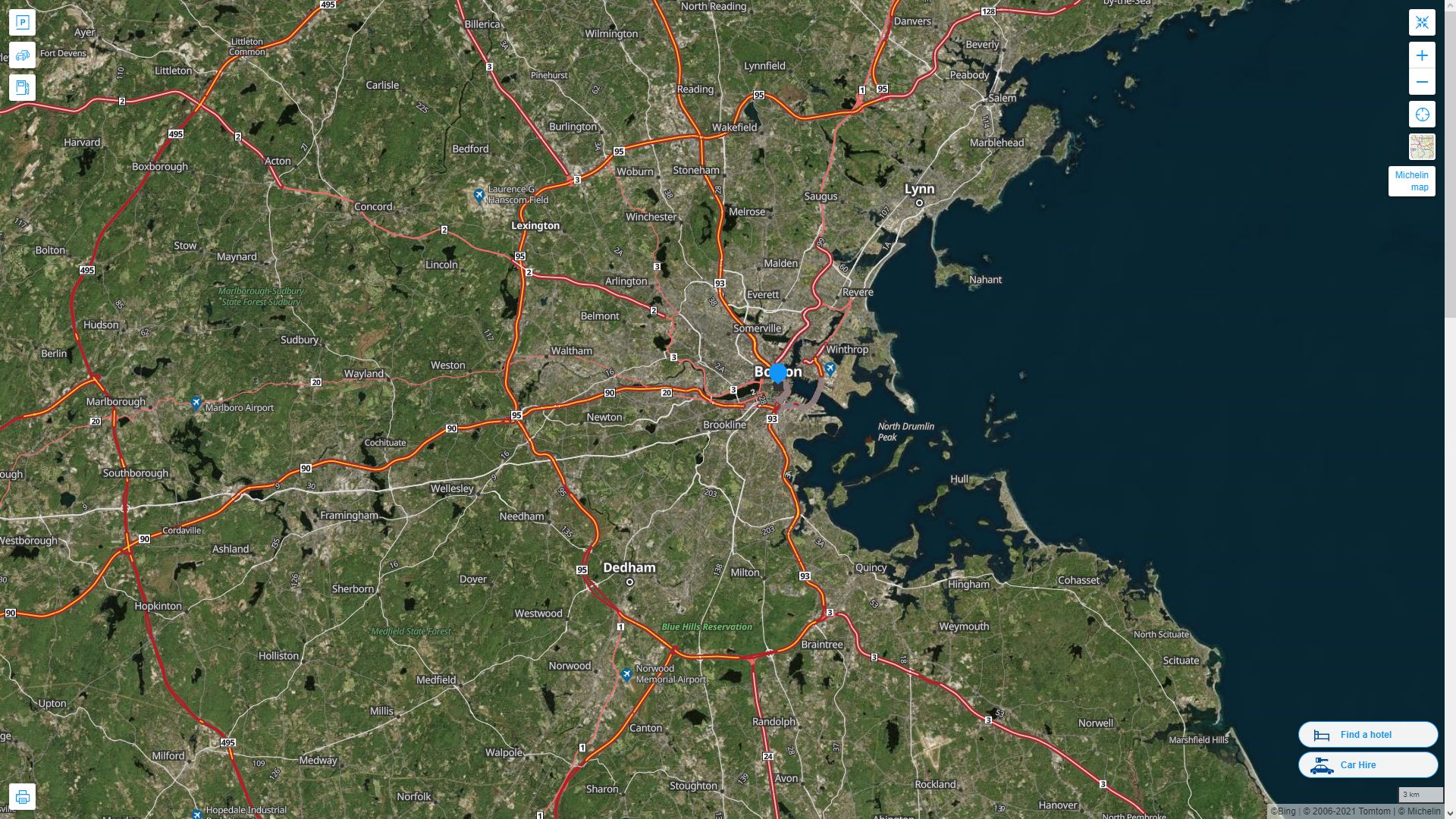
Where on World Map
Click for Direction »
Road Map and Direction
Click for Street View »
Click for comments and questions »
Please feel free share your comments and questions :
Please feel free share your comments and questions :