
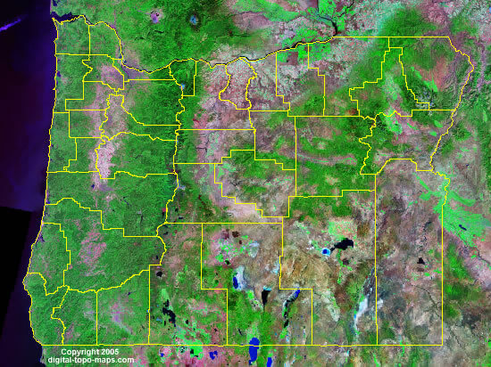
Oregon Satellite Image
At Oregon Satellite Image page, view political map of Oregon, physical maps, US Oregon states map, satellite images, driving direction, USA metropolitan area traffic map, the United States of America atlas, highways, google street views, terrain, continent population, energy resources maps, country national map, regional household incomes and statistics maps.
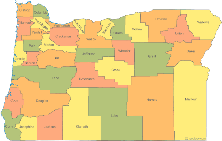
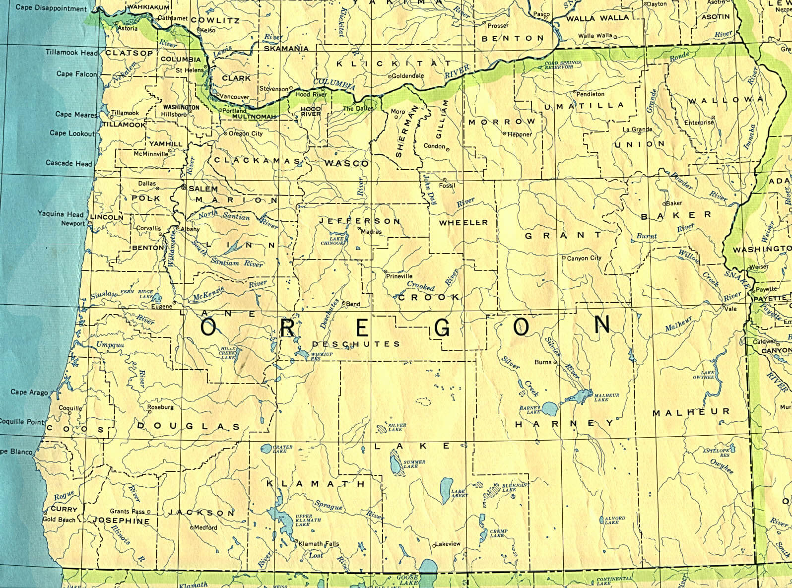
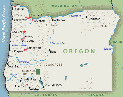
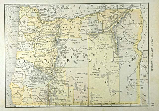
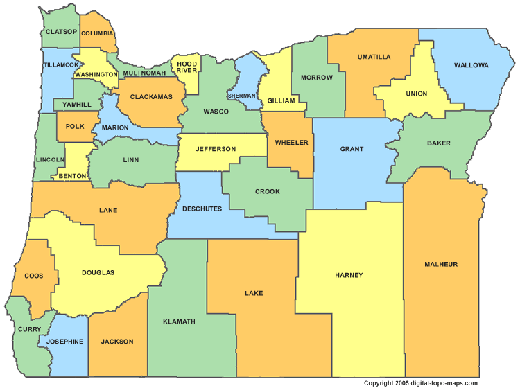
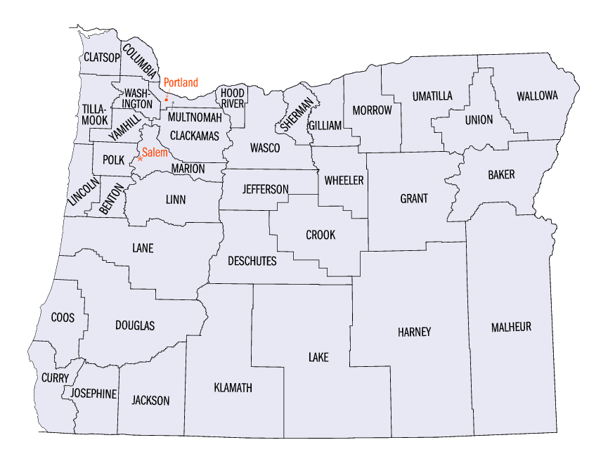
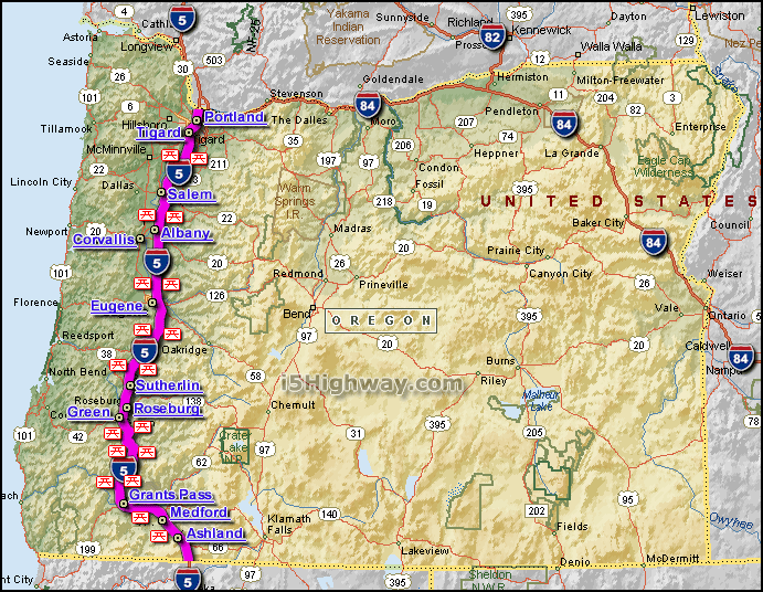
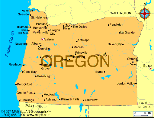
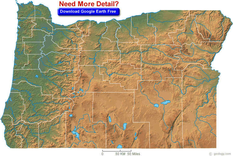
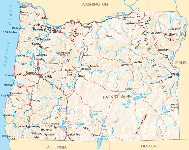
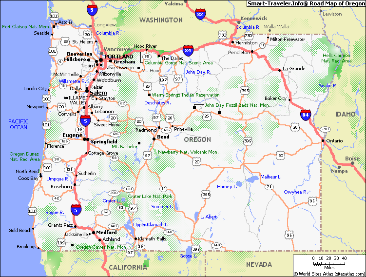
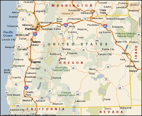
Oregon Map
Oregon Map Help
To zoom in and zoom out map, please drag map with mouse. To navigate map click on left, right or middle of mouse. To view detailed map move small map area on bottom of map. USA Oregon Map Loading...
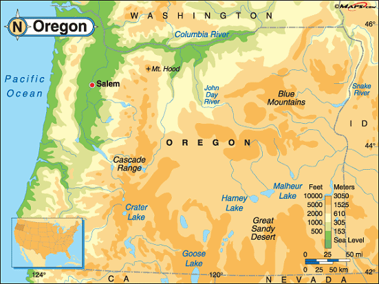
A collection Map of Oregon


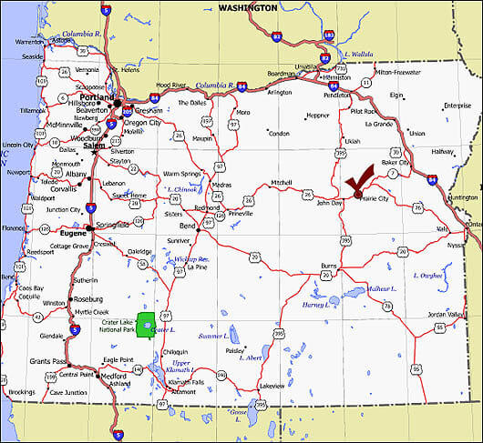
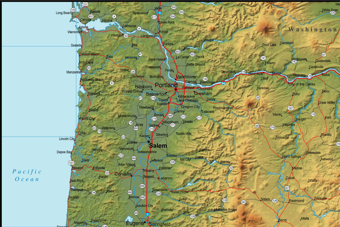

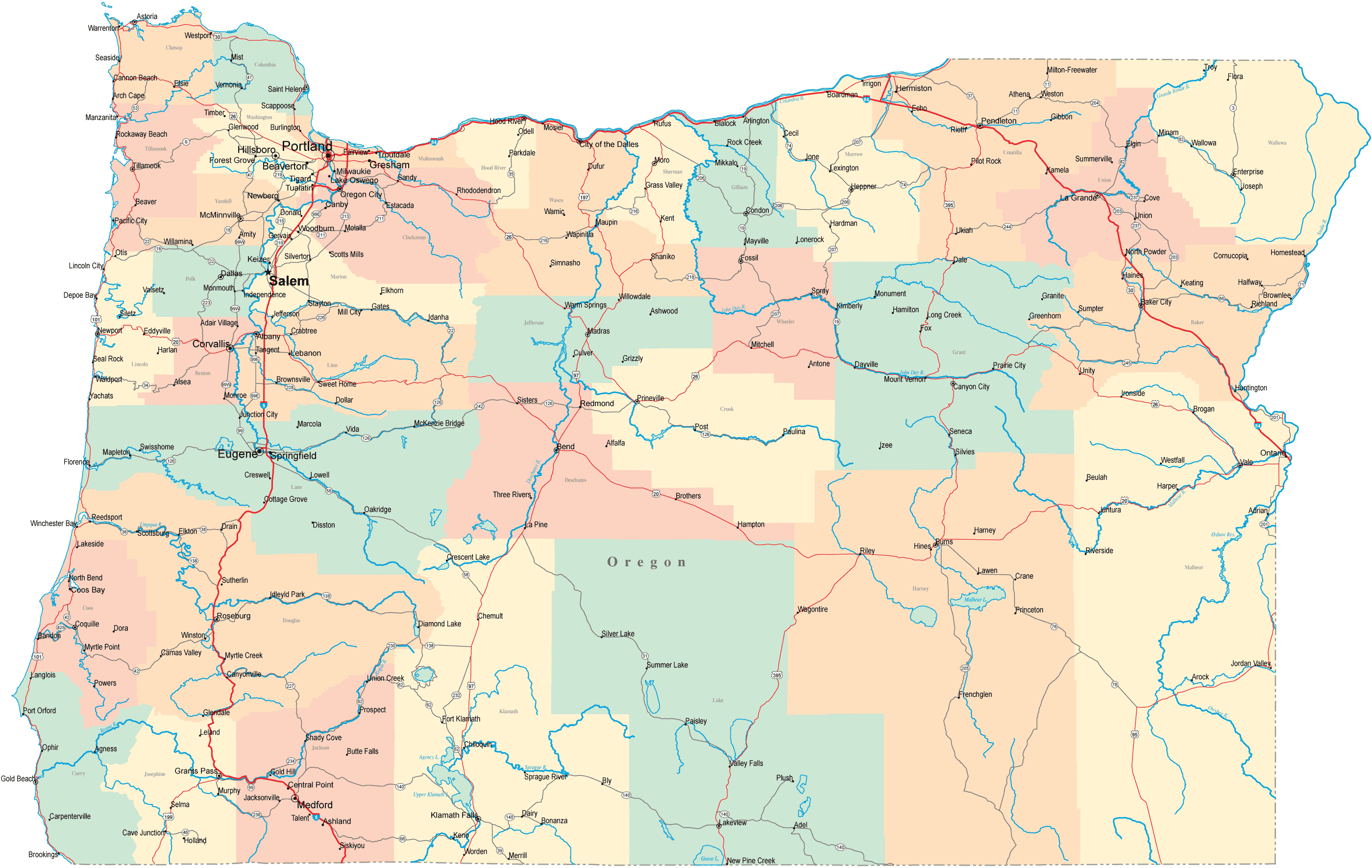

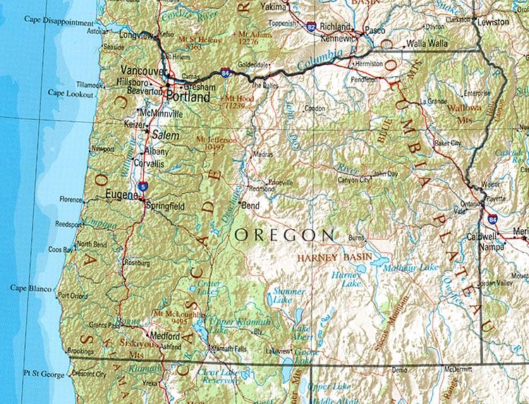
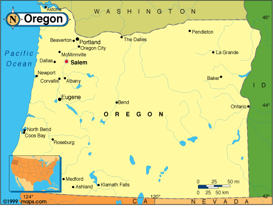
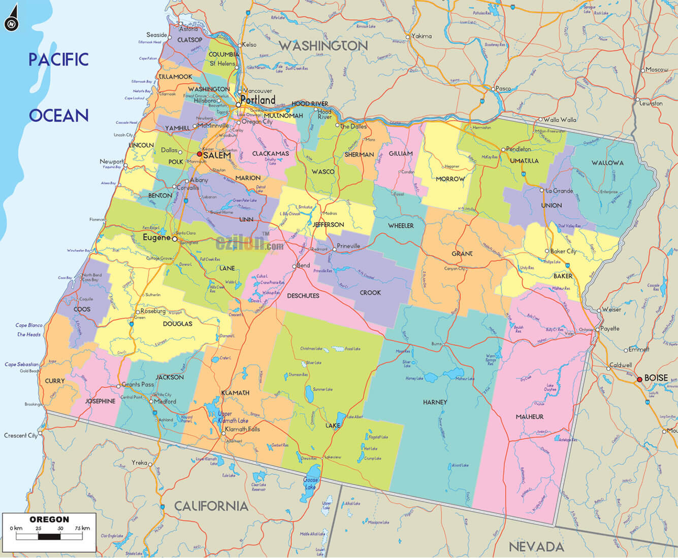
Largest Cities Map of Oregon and Population
- Portland Map - 583.776 - (45.523,-122.676)
- Eugene Map - 156.185 - (44.052,-123.087)
- Salem Map - 154.637 - (44.943,-123.035)
- Gresham Map - 105.594 - (45.498,-122.431)
- Hillsboro Map - 91.611 - (45.523,-122.99)
- Beaverton Map - 89.803 - (45.487,-122.804)
- Bend Map - 76.639 - (44.058,-121.315)
- Medford Map - 74.907 - (42.327,-122.876)
- Springfield Map - 59.403 - (44.046,-123.022)
- Corvallis Map - 54.462 - (44.565,-123.262)
- Albany Map - 50.158 - (44.636511, -123.105928)
- Aloha Map - 49.425 - (45.494284, -122.867045)
- Tigard Map - 48.035 - (45.431229, -122.771486)
- Lake Oswego Map - 36.619 - (45.420675, -122.670650)
- Keizer Map - 36.478 - (44.990119, -123.026208)
- Grants Pass Map - 34.533 - (42.439007, -123.328393)
- McMinnville Map - 32.187 - (45.210116, -123.198716)
- Oregon City Map - 31.859 - (45.357343, -122.606758)
- Redmond Map - 26.215 - (44.272620, -121.173921)
- Tualatin Map - 26.054 - (45.384008, -122.763985)
Google Map, Street Views, Maps Directions, Satellite Images
GuideoftheWorld.net offers a collection of map, google map, atlas, political, physical, satellite view, country infos, cities map and more map of .
Copyright GuideofTheWorld.Net 2006 - 2026. All rights reserved. Privacy Policy | Disclaimer