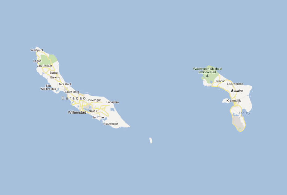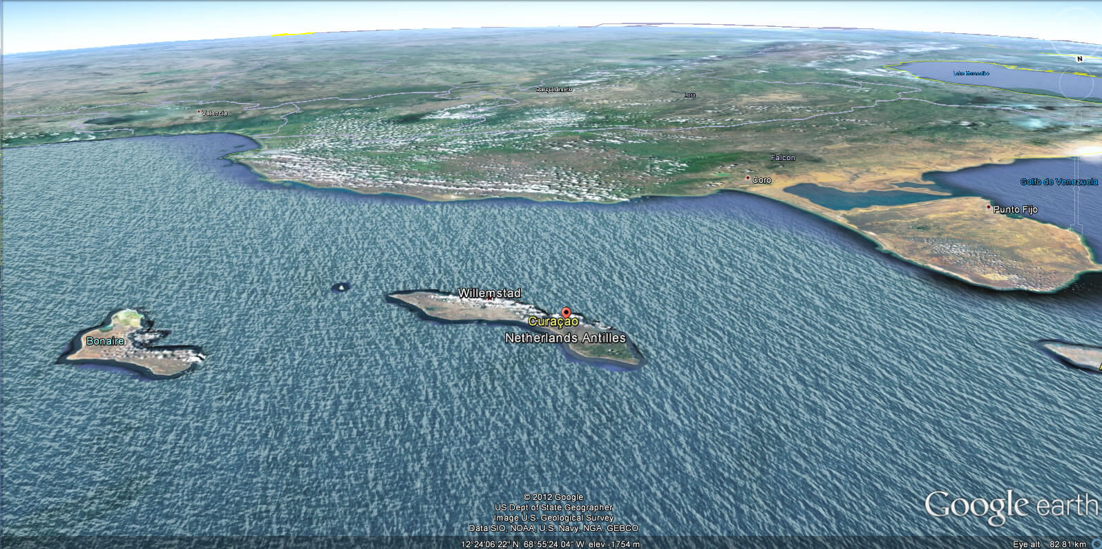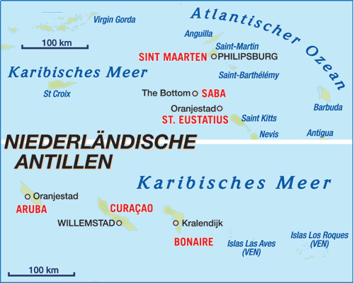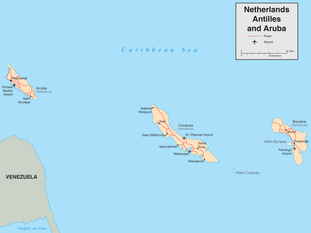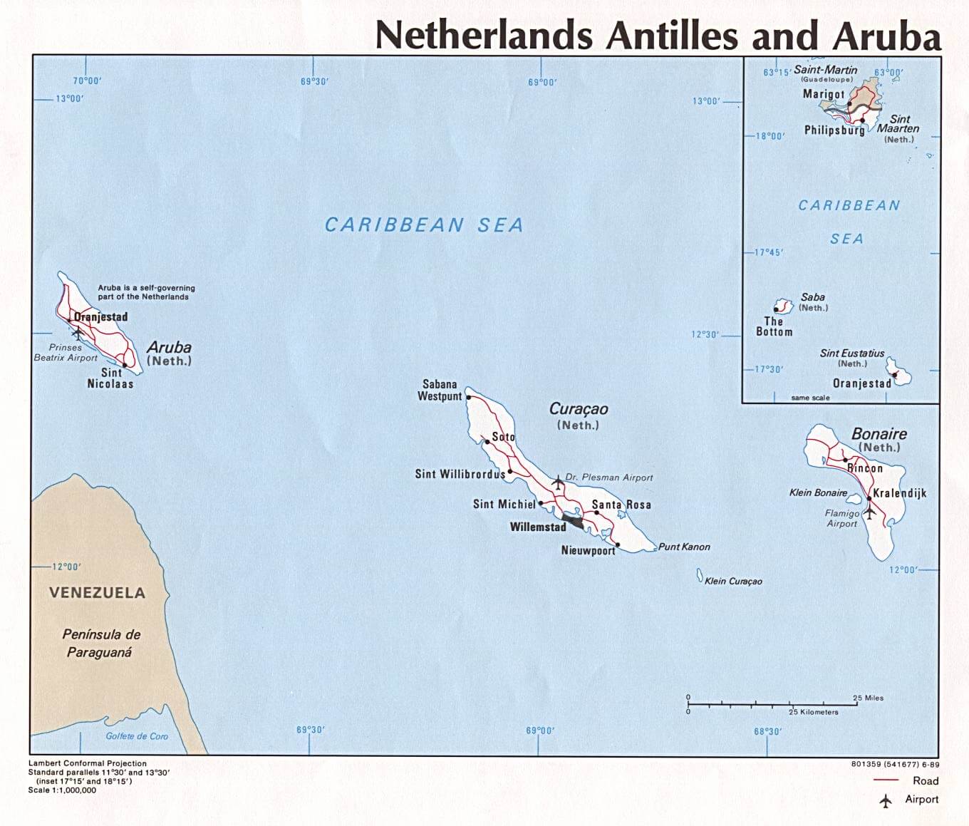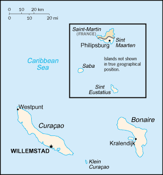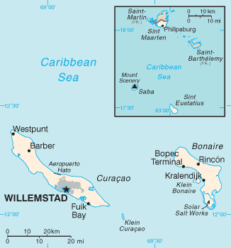
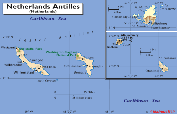
- Capital :
Willemstad
- Population :
175,653
- GDP :
N/A
- Per Capita :
N/A
- Calling Code :
+599
- Jobless Rate :
N/A
- Time Zone :
N/A
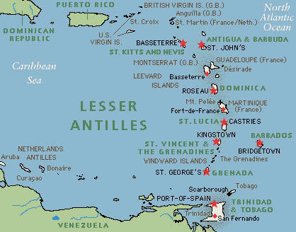
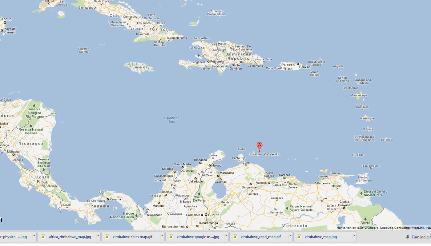
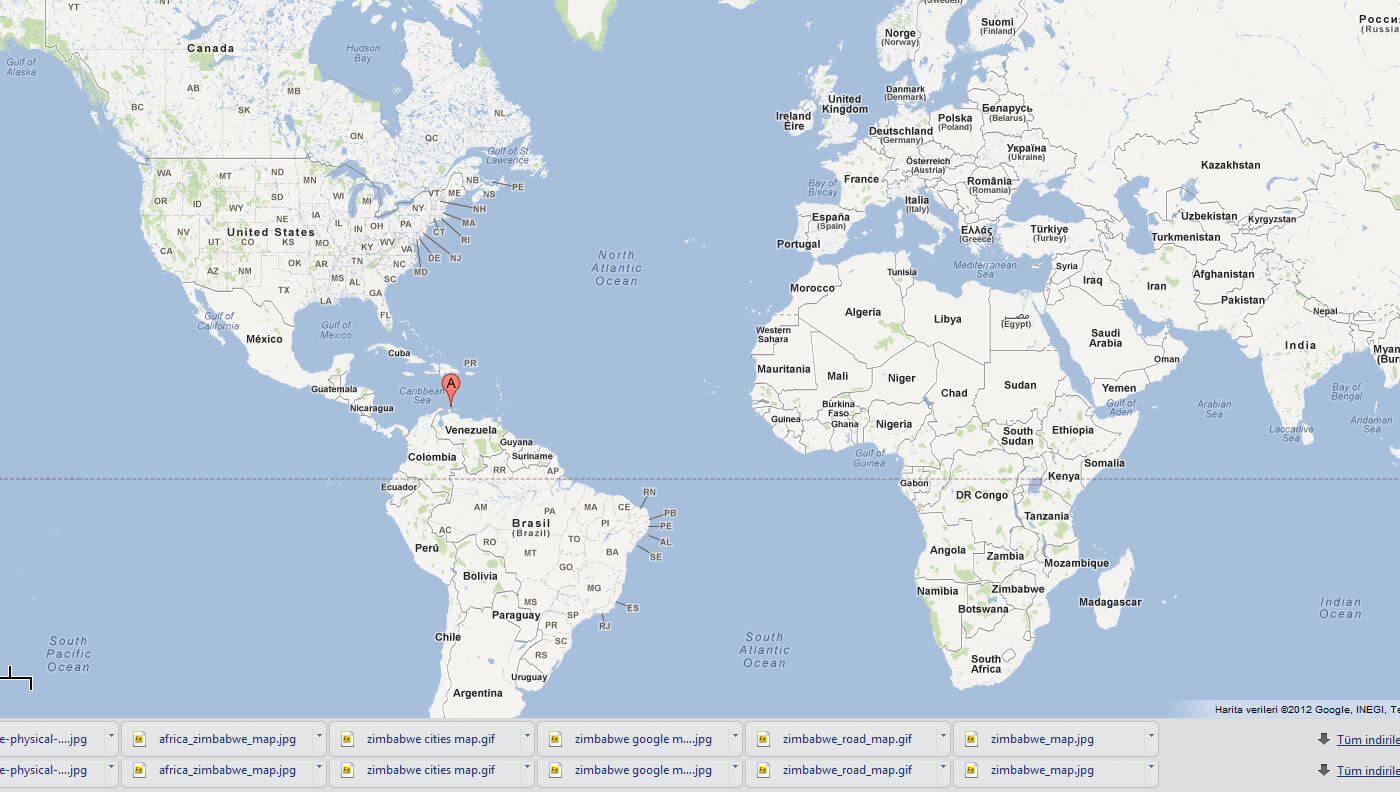
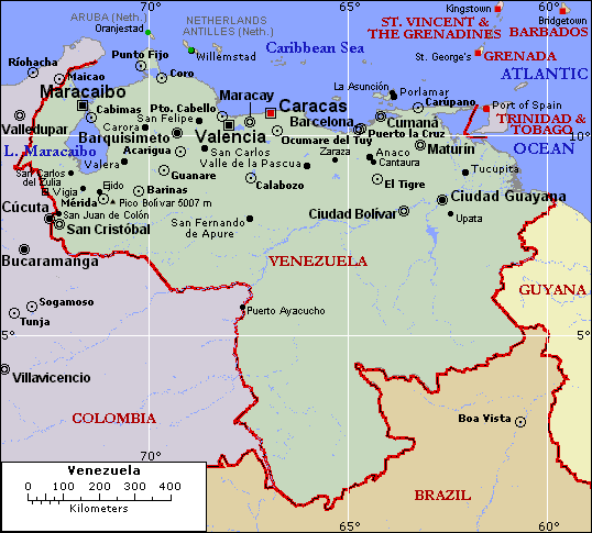
With interactive Netherlands Antilles Map you can find local businesses, public places, tourist attractions via map view, satellite image, hybrid view, driving directions in Netherlands Antilles Map. You'll also find a varity map of Netherlands Antilles such as politic, administrative, transportation, demographics maps following Google map.
Netherlands Antilles Map
A collection Map of Netherlands Antilles
Largest Cities' Map of Netherlands Antilles