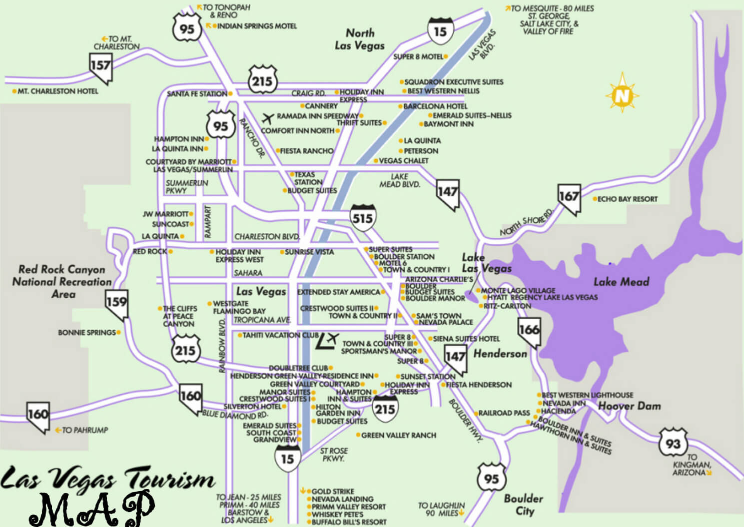
Las Vegas Nevada Map
Navigate Las Vegas Nevada map, Las Vegas Nevada country map, satellite images of Las Vegas Nevada, Las Vegas Nevada largest cities, towns maps, political map of Las Vegas Nevada, driving directions, physical, atlas and traffic maps.
Click for Content Detail »
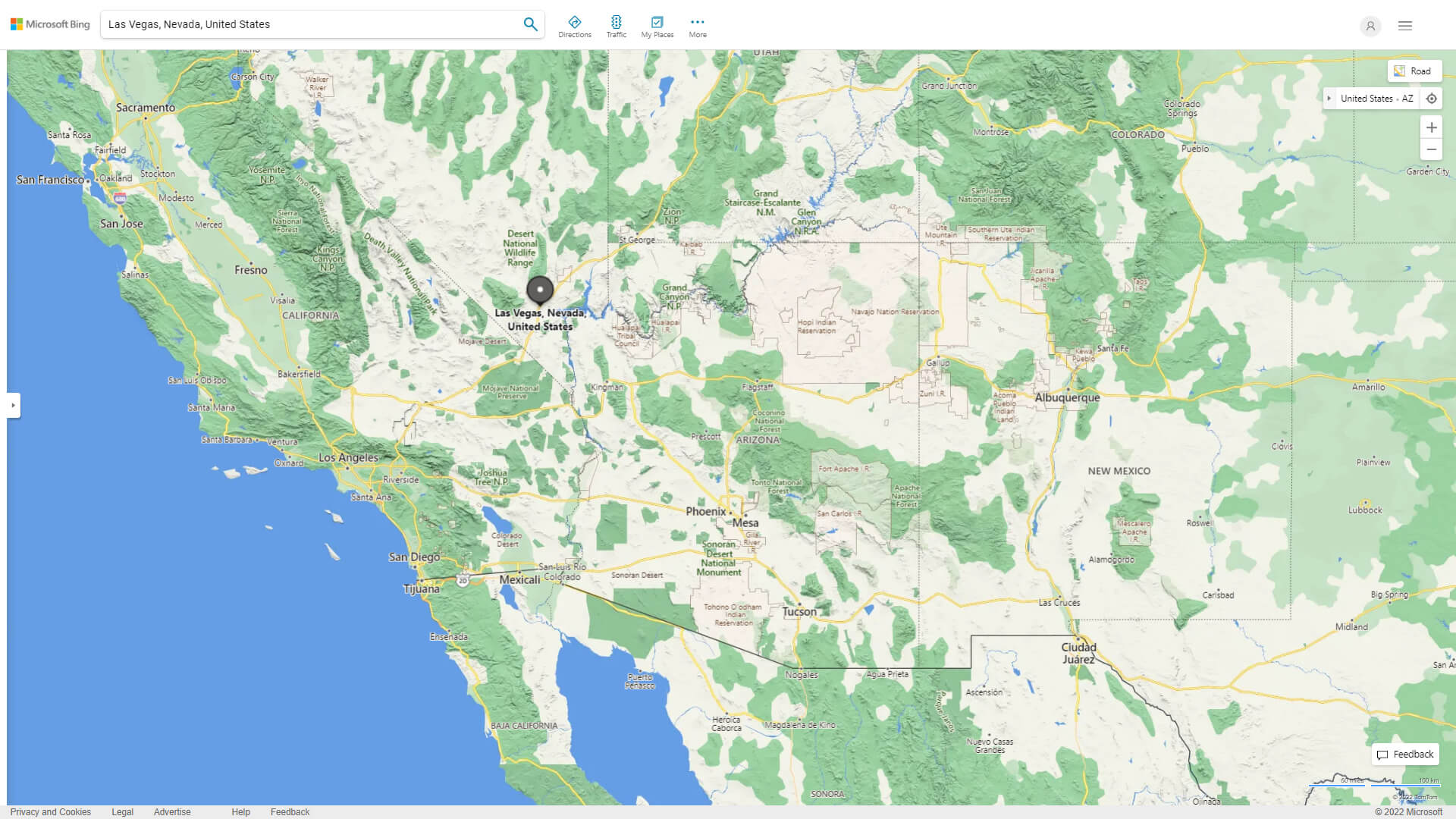
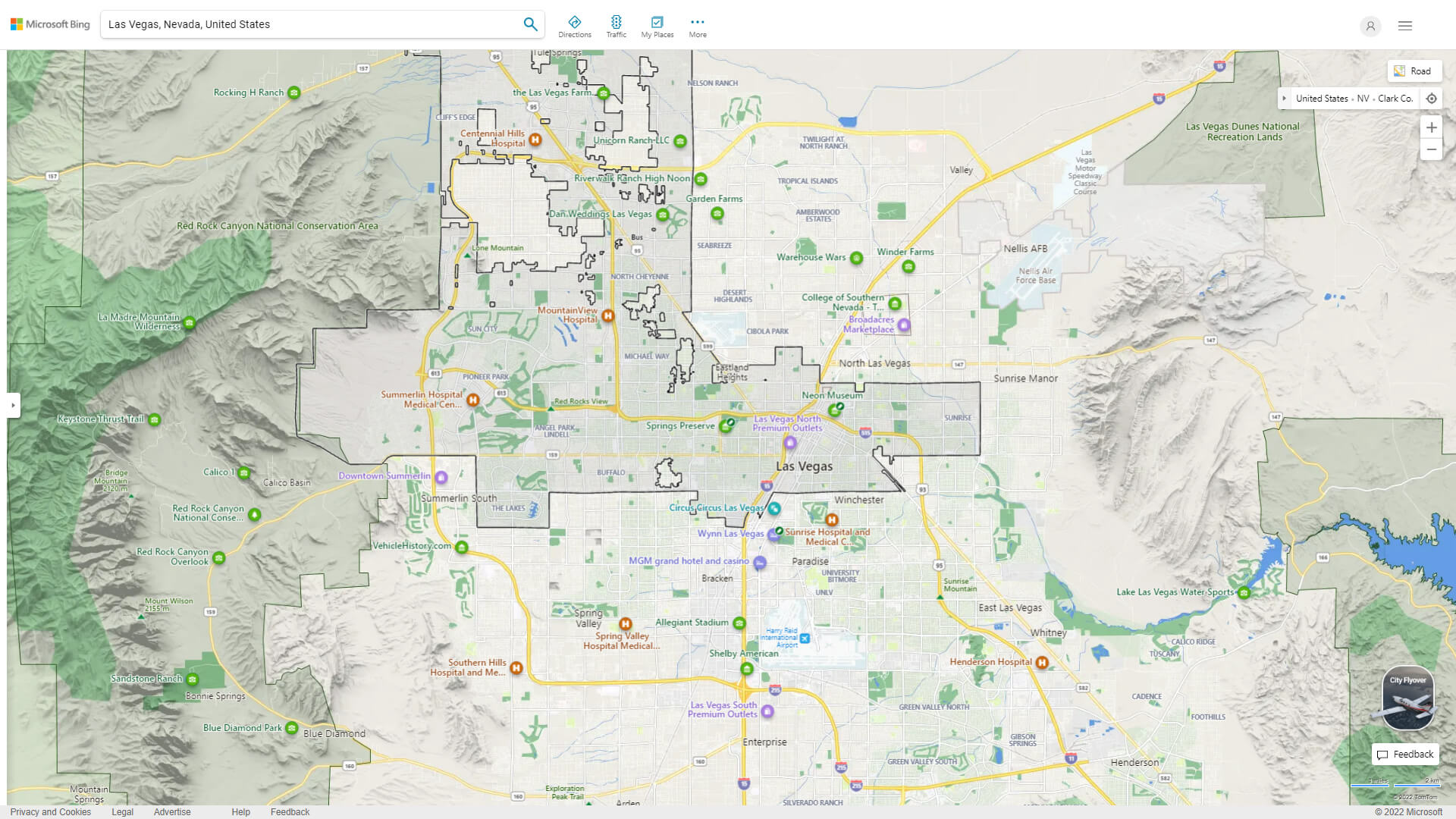
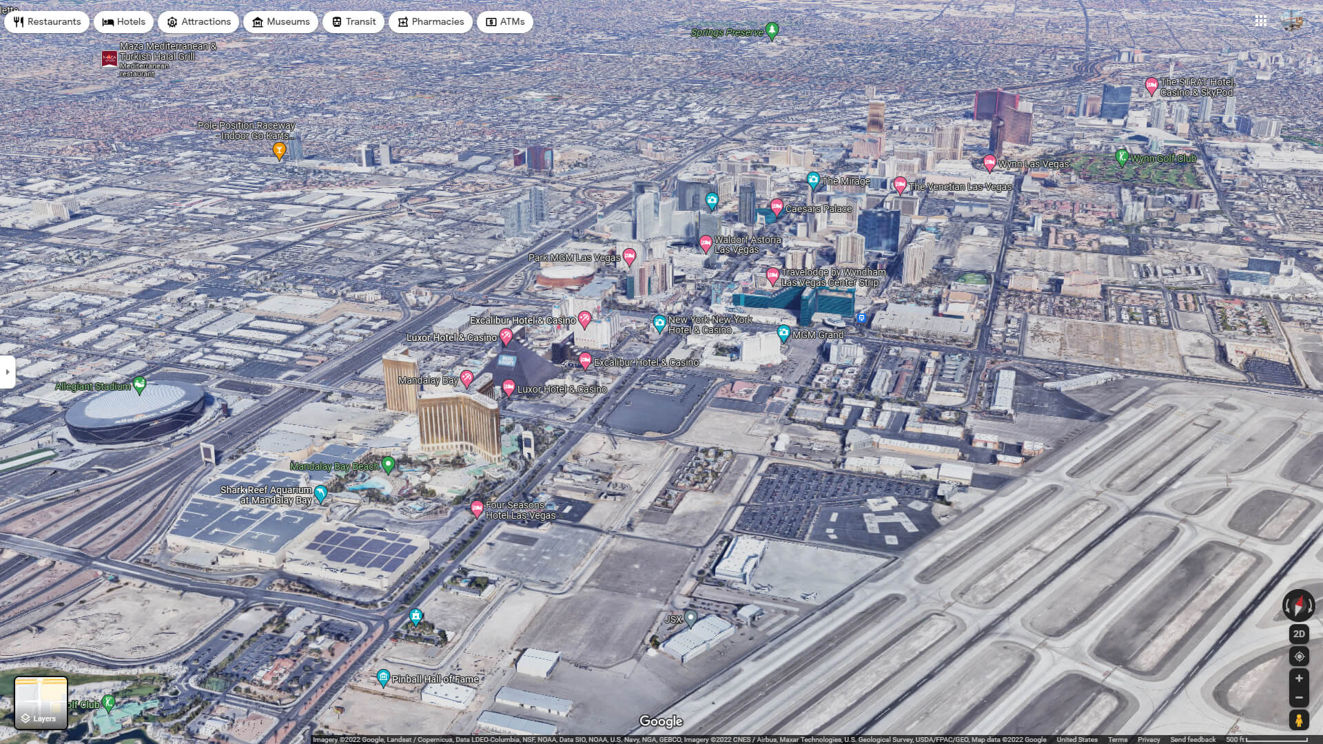
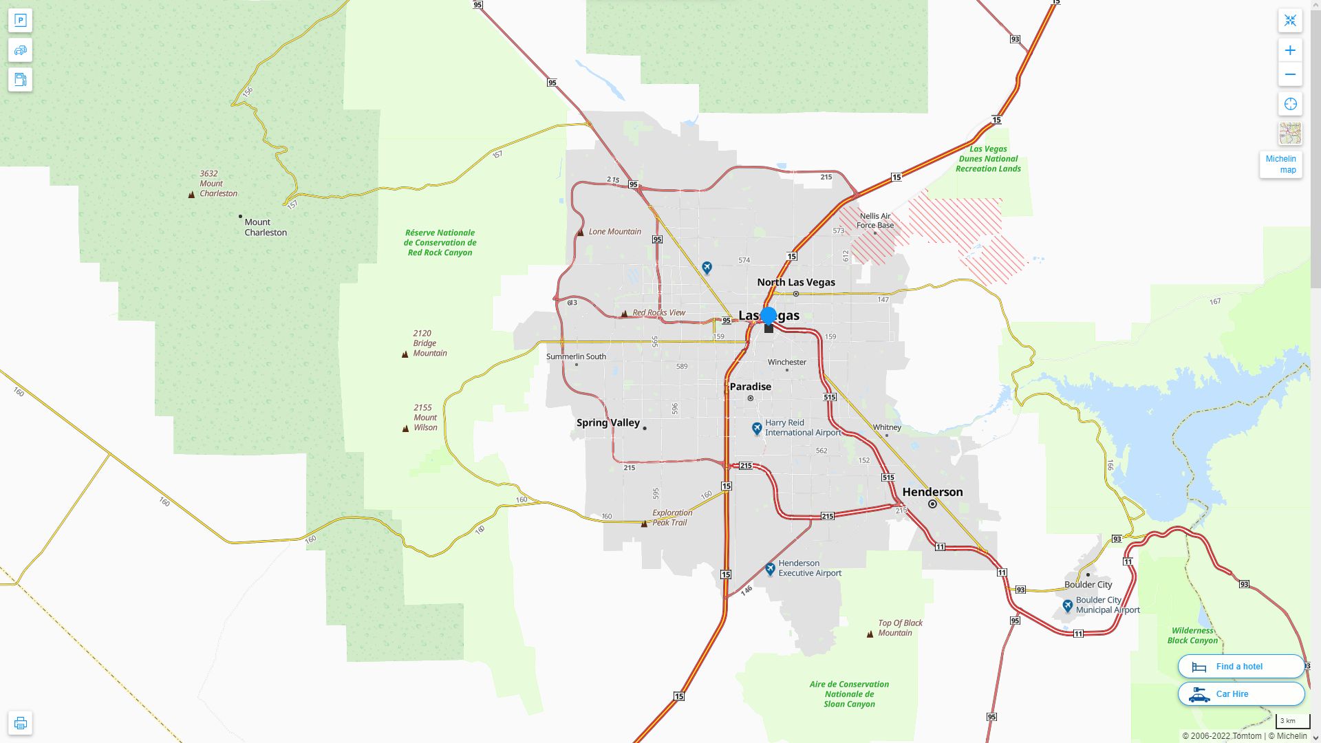
Find desired maps by entering country, city, town, region or village names regarding under search criteria. On upper left Map of Las Vegas Nevada (+) beside zoom in and (-) sign to to zoom out via the links you can visit. Las Vegas Nevada Map move the mouse over it via (left click) and clicking the image you can drag. Right upper Map, Satellite, Terrain icons via the map view, satellite, hybrid and terrain map can be switch between images.
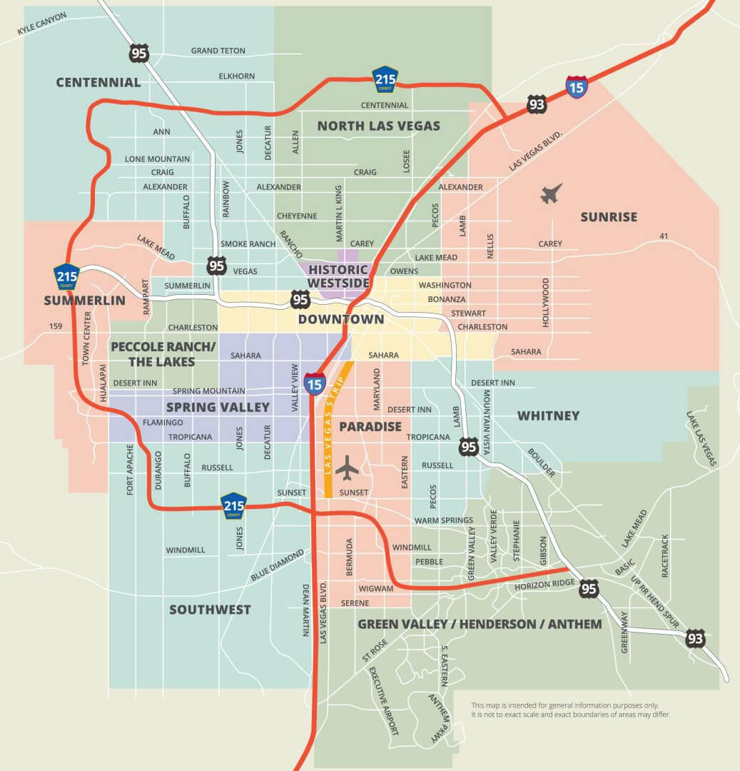
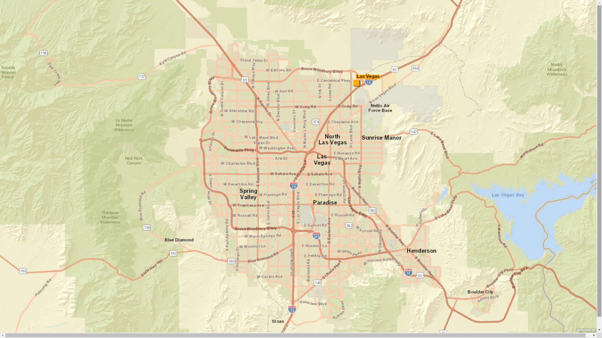
Las Vegas Nevada City Town Maps
Related Las Vegas Nevada Maps and Las Vegas Nevada Satellite Images
Largest Nevada Cities by Population
» Las Vegas Map » Henderson Map » Reno Map » Paradise Map » North Las Vegas Map » Sunrise Manor Map » Spring Valley Map » Enterprise Map » Sparks Map » Carson City Map » Whitney Map » Pahrump Map » Winchester Map » Summerlin South Map » Fernley MapFor all Nevada cities map
Click for Google Map »
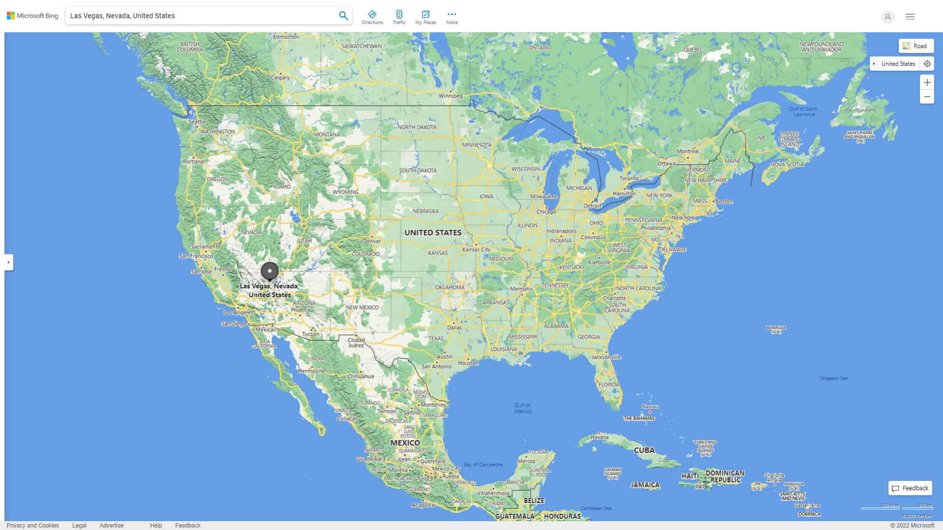
Where on World Map
Click for Direction »
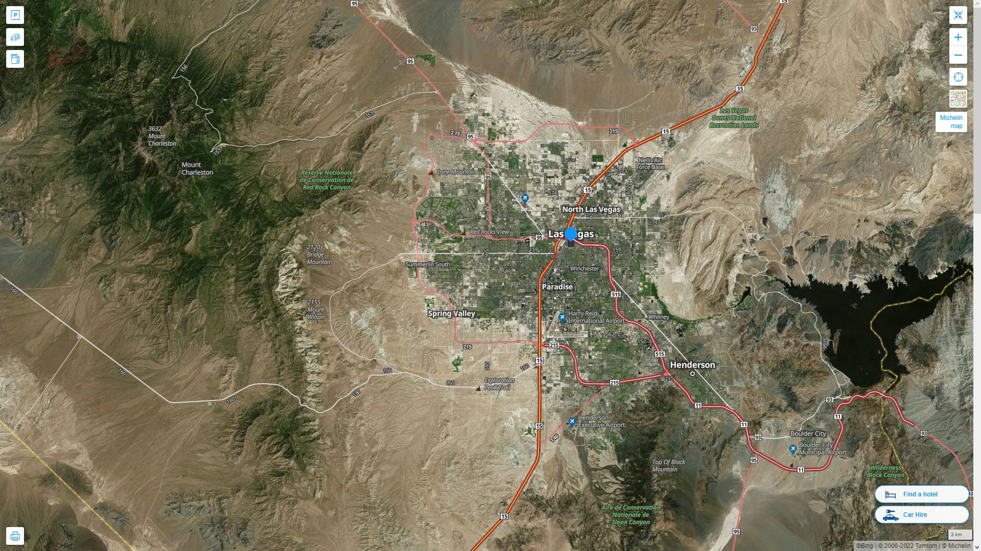
Road Map and Direction
Click for Street View »
Click for comments and questions »
Please feel free share your comments and questions :
Please feel free share your comments and questions :