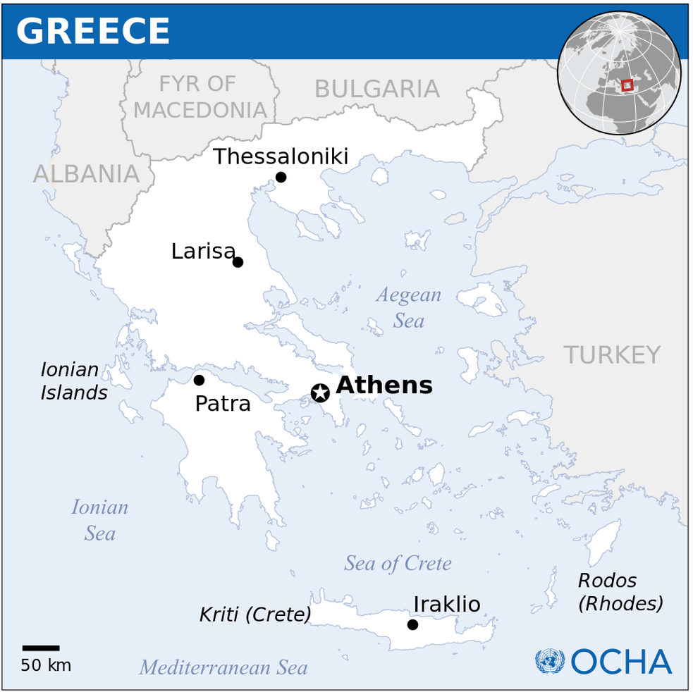
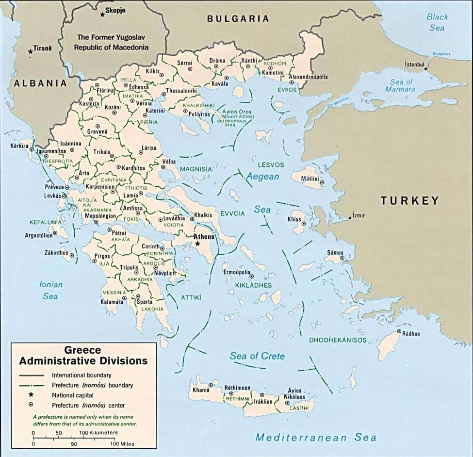
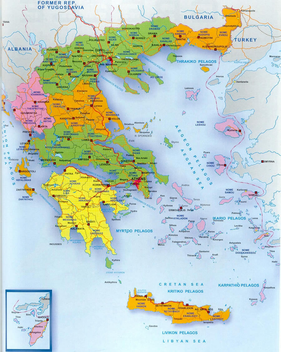
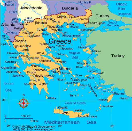
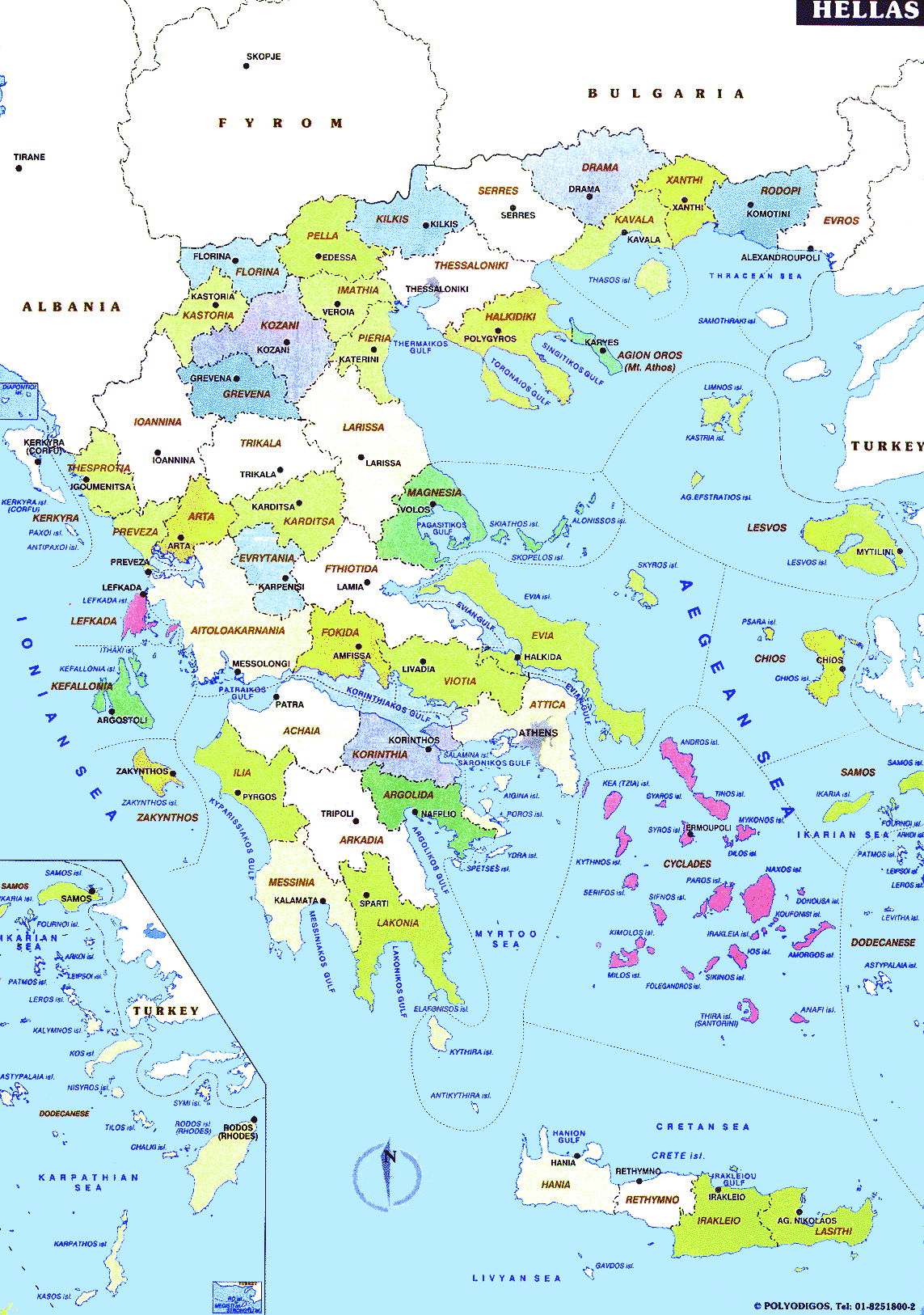
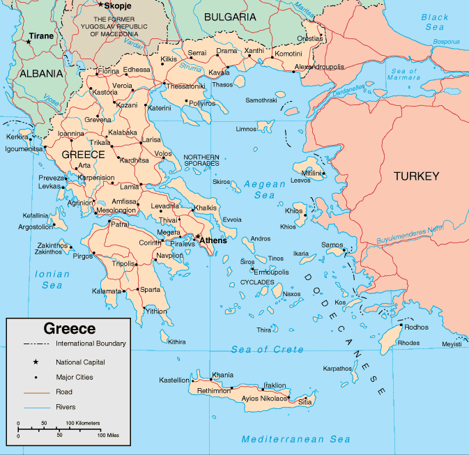
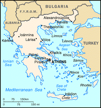
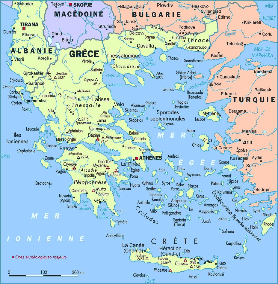
Greece Map
Navigate Greece map, Greece country map, satellite images of Greece, Greece largest cities, towns maps, political map of Greece, driving directions, physical, atlas and traffic maps.
Click for Content Detail »
Find desired maps by entering country, city, town, region or village names regarding under search criteria. On upper left Map of Greece (+) beside zoom in and (-) sign to to zoom out via the links you can visit. Greece Map move the mouse over it via (left click) and clicking the image you can drag. Right upper Map, Satellite, Terrain icons via the map view, satellite, hybrid and terrain map can be switch between images.
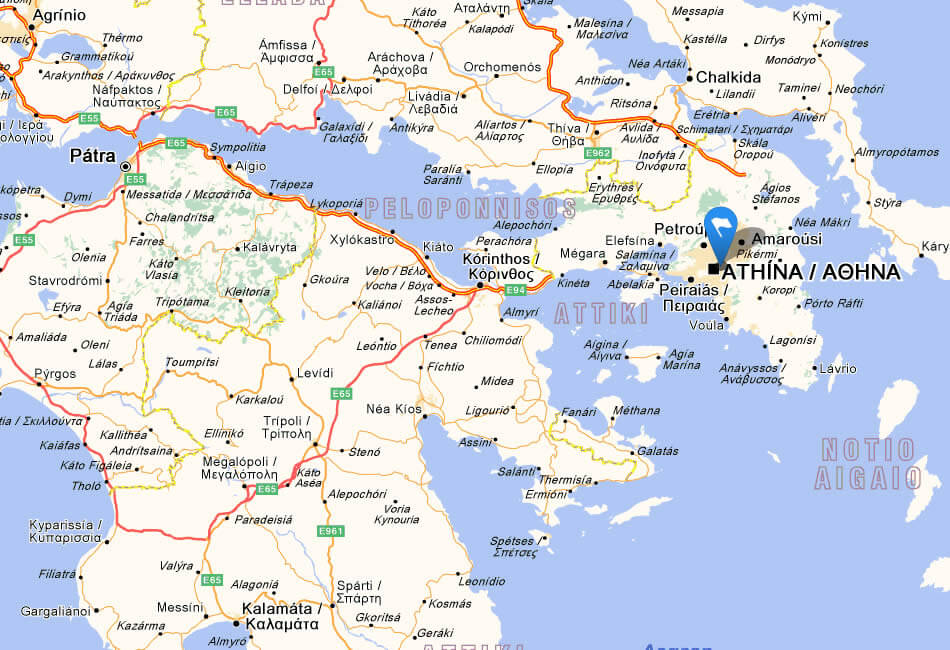
Greece City Maps
» Athens » Thessaloniki » Volos » Patras » Larissa » Heraklion » Chania » Akharnai » Ioannina » KavalaRelated Greece Maps and Greece Satellite Images
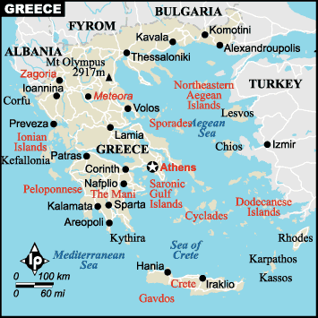
map of greece
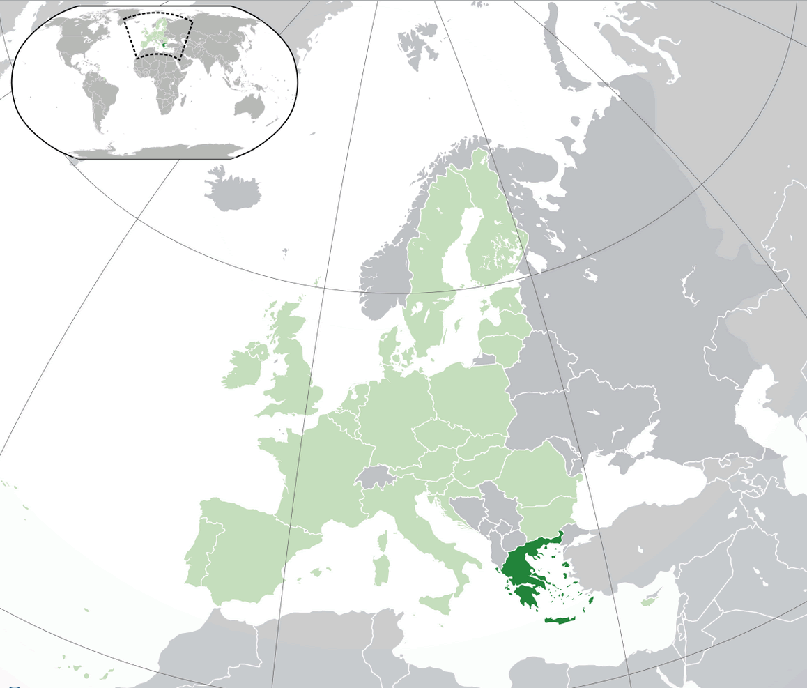
greece location map
where is greece in the world
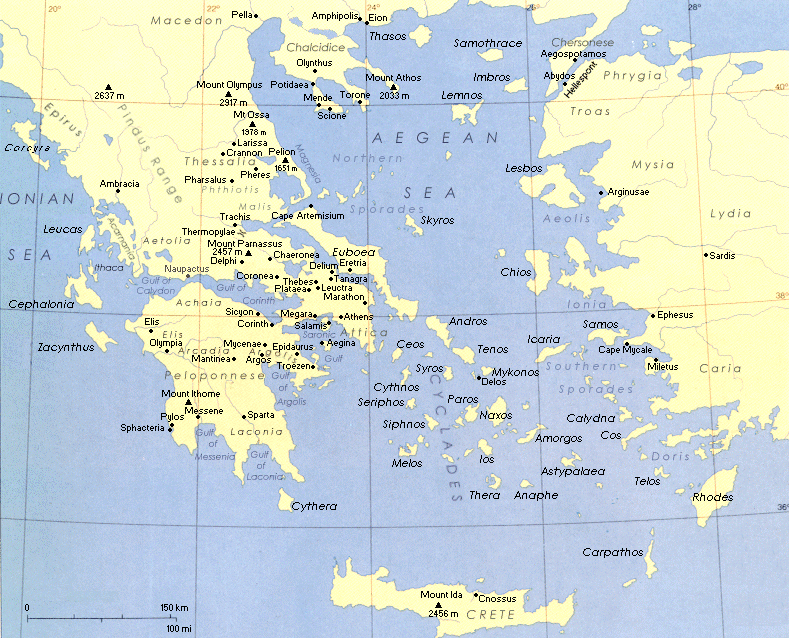
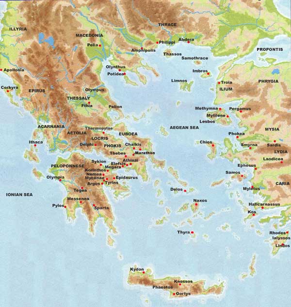
ancient time map greece
greece map
greece maps
greece division map
greece map
greece map aegean sea
greece map boundary
greece map hellas
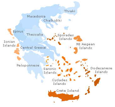
greece map islands
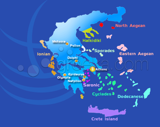
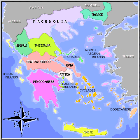
greece regions map
greeceMap
map greece
map of ancient greece
map of greece
map of greece
maps of greece
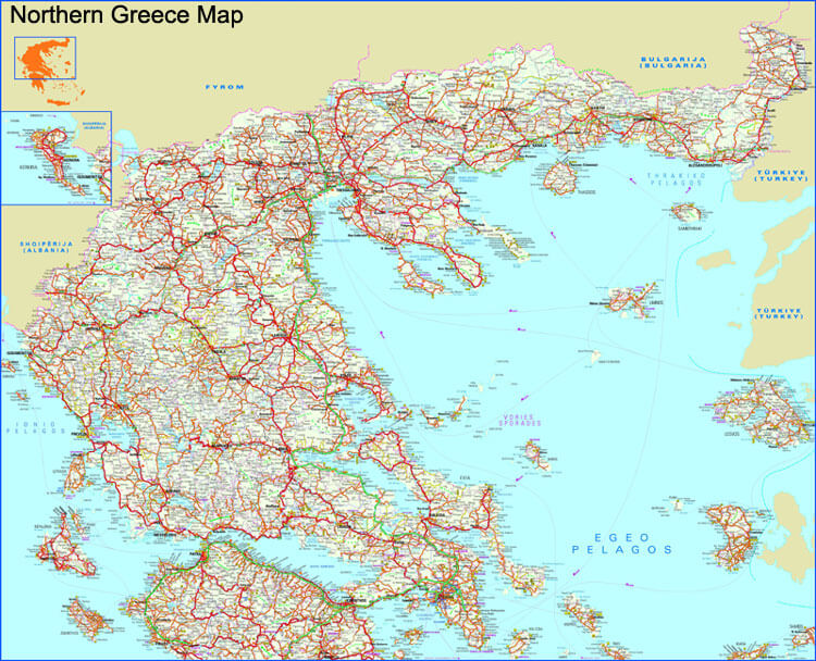
northern greece map
political map of greece
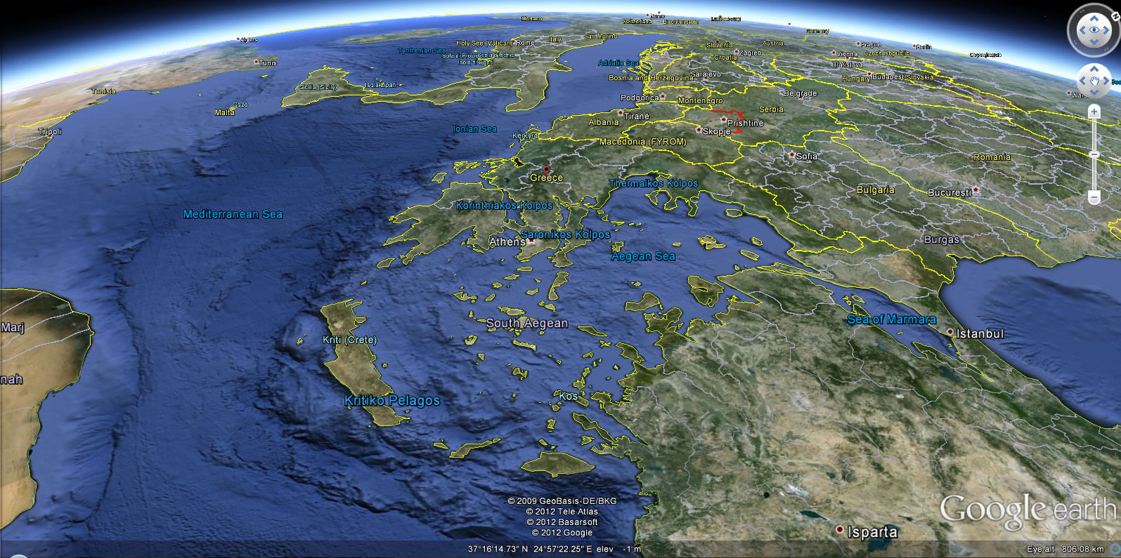
Greece Earth Map
Click for Google Map »
Where on World Map
Click for Direction »
Road Map and Direction
Click for Street View »
Click for comments and questions »
Please feel free share your comments and questions :
Please feel free share your comments and questions :