
Africa Satellite Map
Navigate Africa Satellite Map, Africa countries maps, satellite images of the Africa, Africa largest cities map, political maps of Africa, driving directions and traffic map.
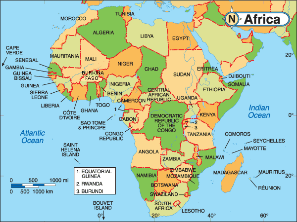
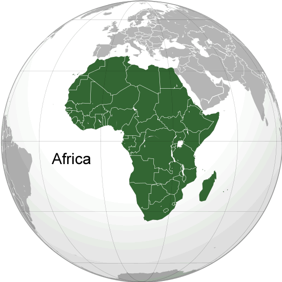
Map Africa
Africa
Map of Africa
For more about Africa Maps >>
For more about Africa Map >>
For more about Africa Maps >>
3D Earth and World Map
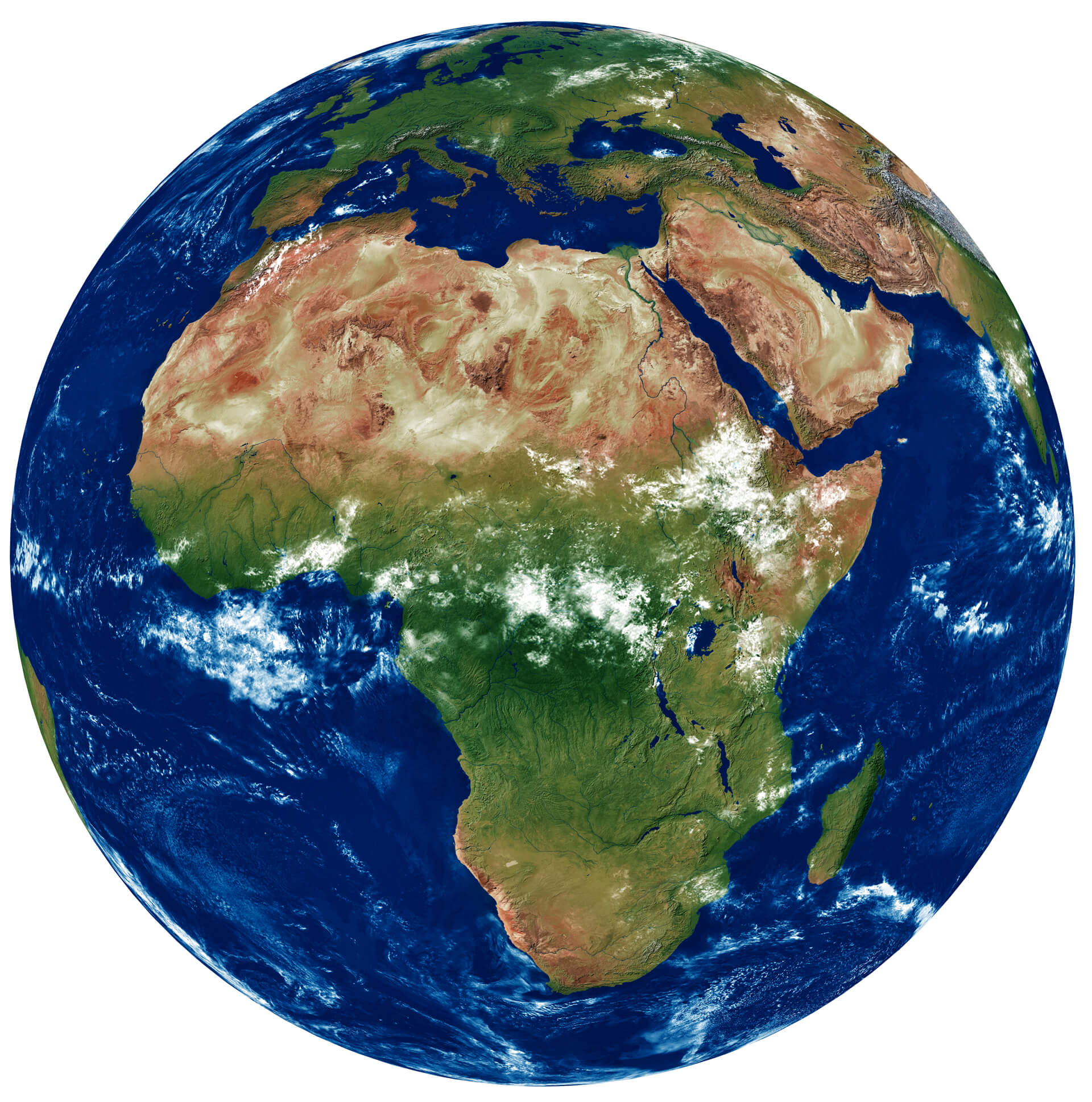 3D Earth and World Map with Greater Sahara Desert, South Africa, Central Africa and African National Parks.
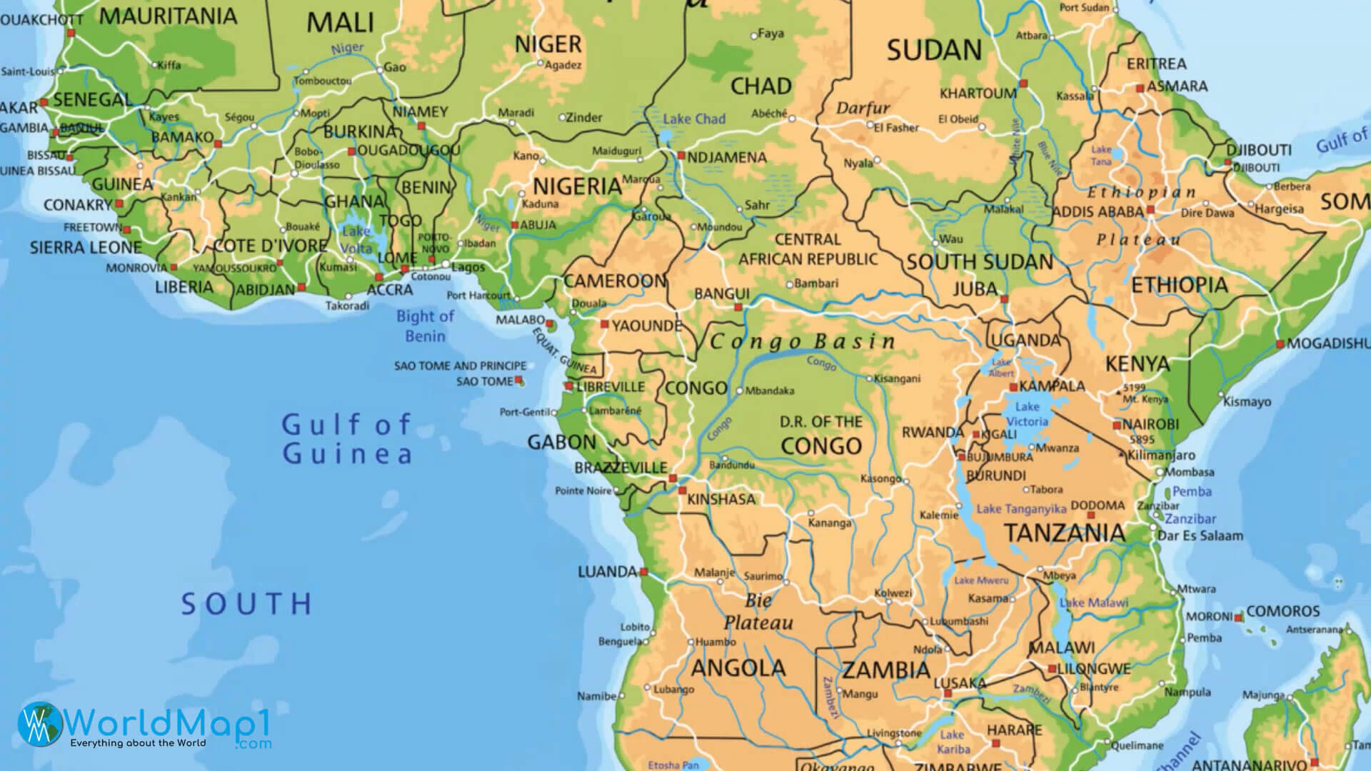
Central Africa Physical Map
Africa and Earth High Resolution Relief Map
Africa and Earth Map in Night
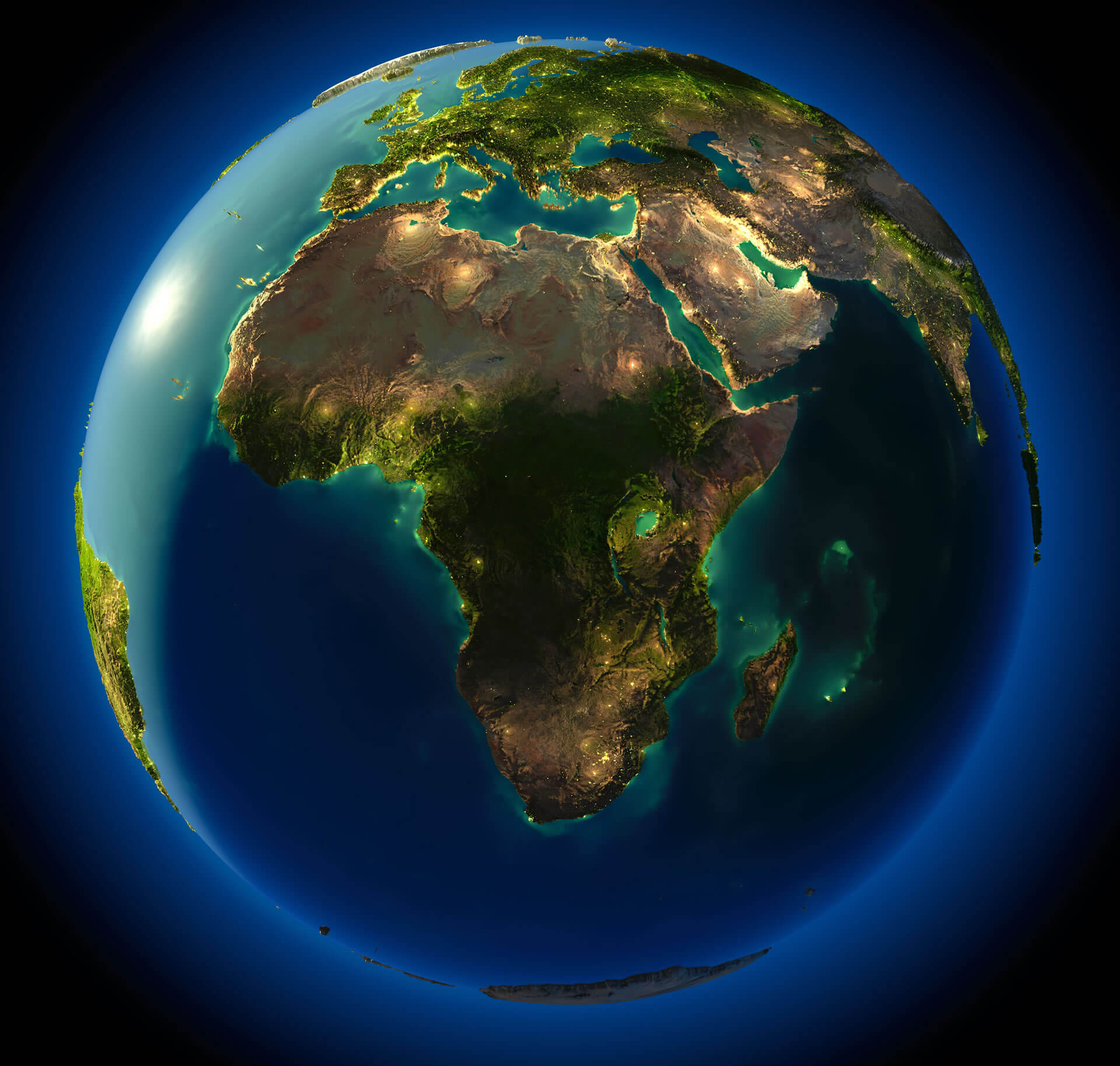 Africa and Earth Map in Night with Middle East and Turkey.
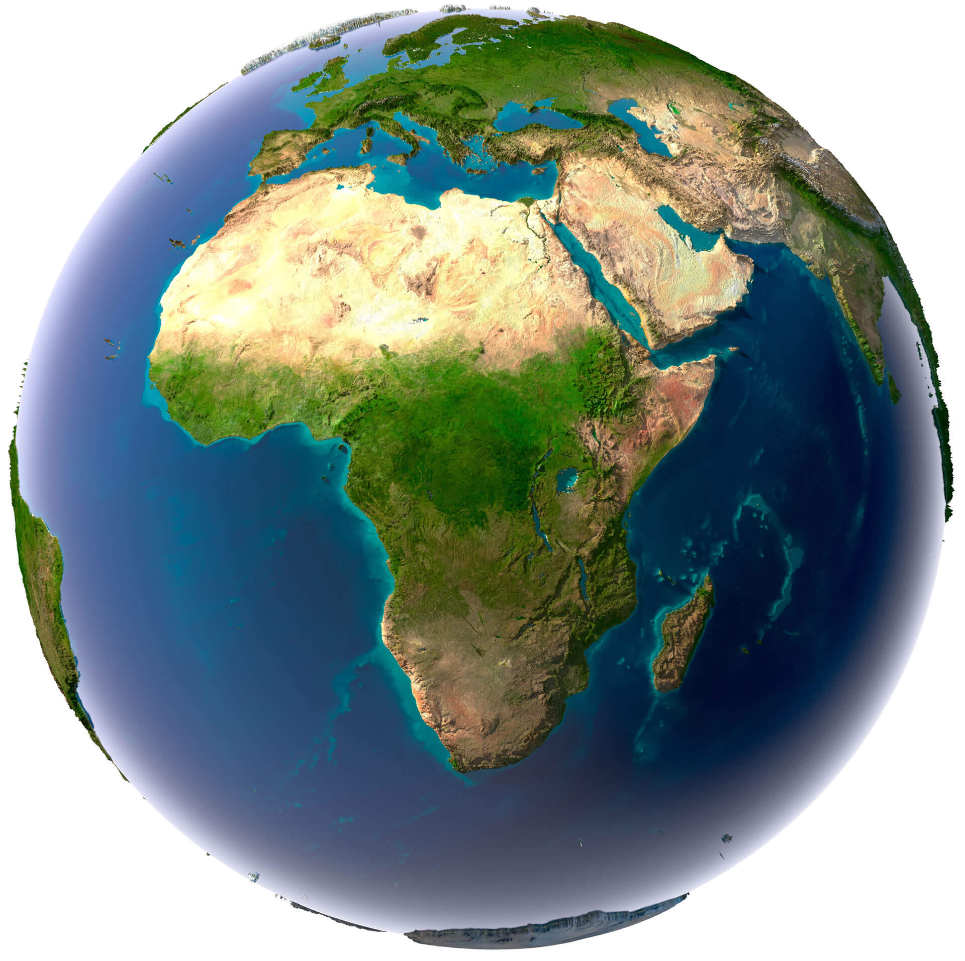
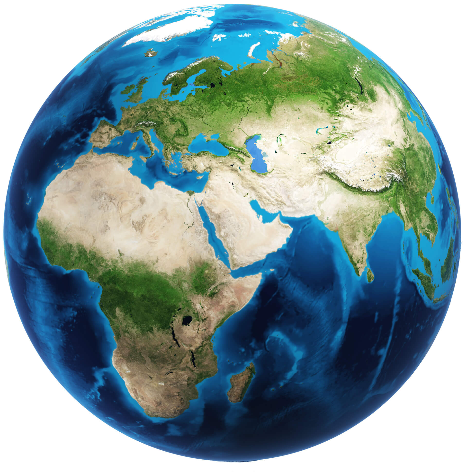
Africa and Earth Satellite Map
 Africa and Earth Satellite Map with Saudi Arabia and Gulf Countries.
Africa Detailed Topography Map
 Africa Detailed Topography Map with Madagascar and Central Africa.
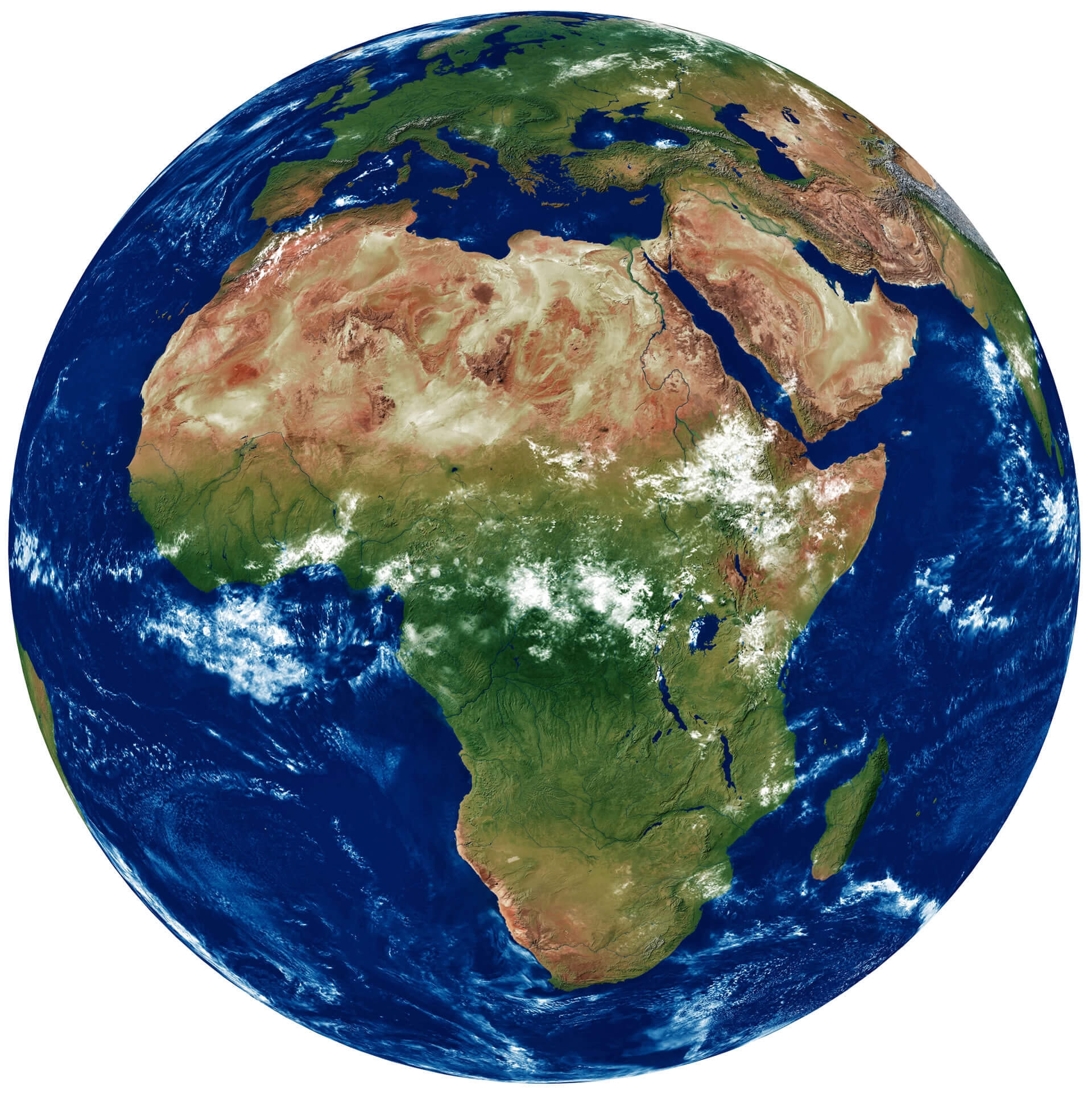
Africa Satellite View from Space
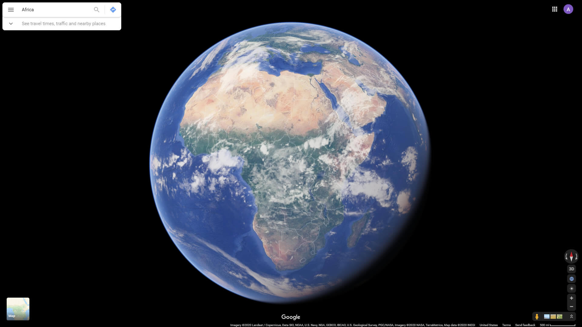
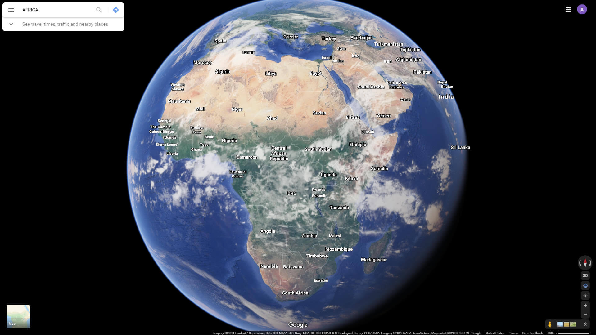
Africa Satellite View with Countries
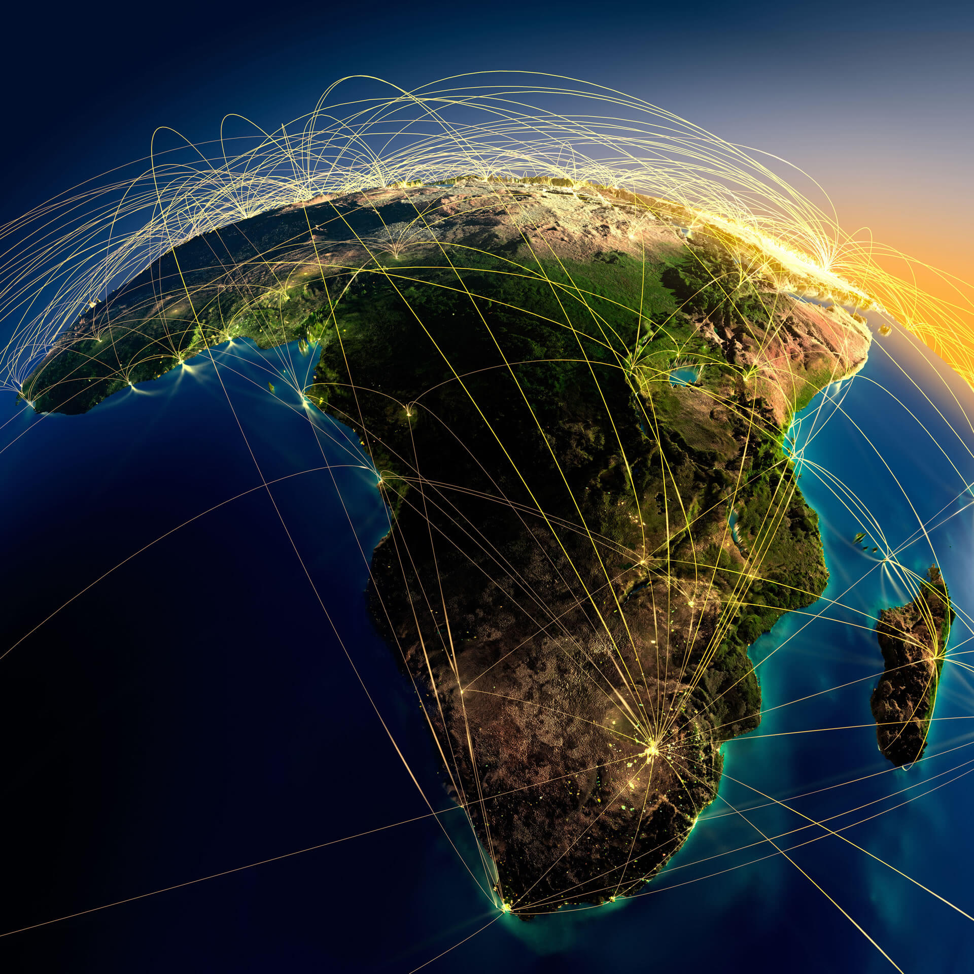
Africa World Air Routes Map
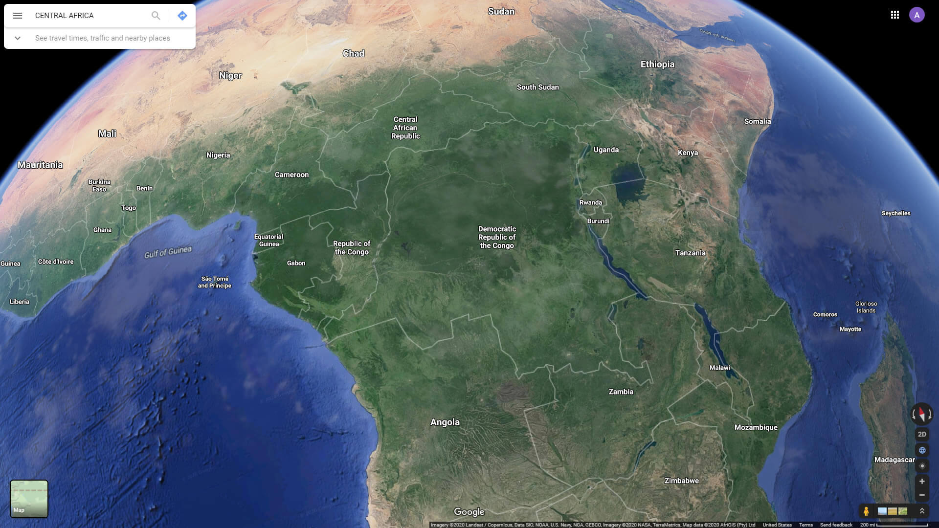
Central Africa Satellite View with Countries
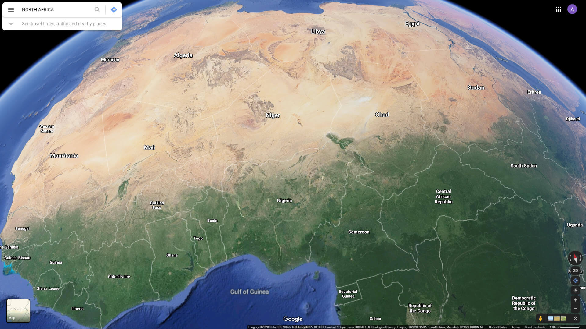
North Africa Satellite View with Countries
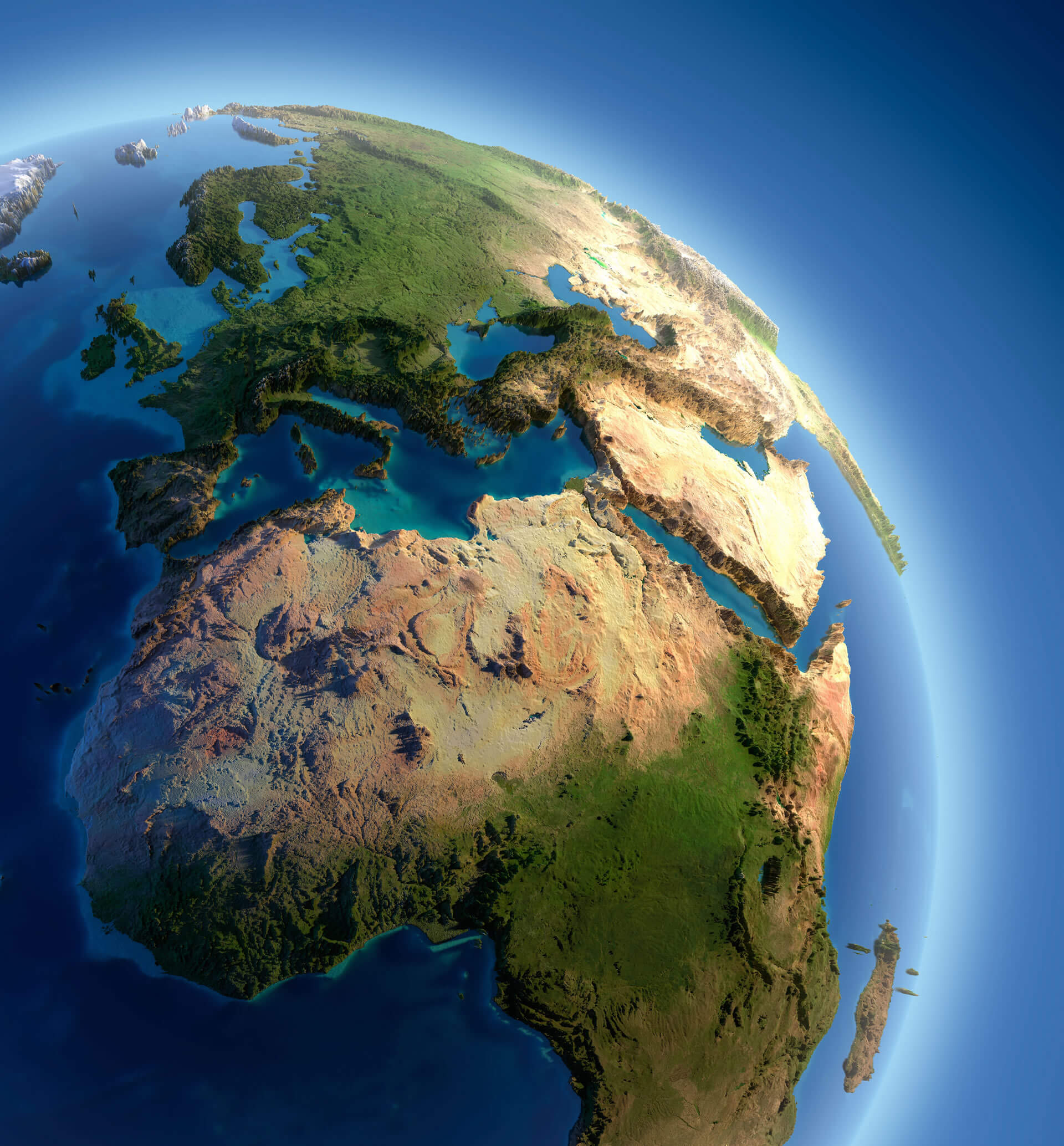
World Real Mountains Relief Map and Africa
 World Real Mountains Relief Map and Africa with Asia, Europe and Middle East.
World Continents Map
Europe MapAsia Map
South America Map
North America Map
Oceania Map
Antarctica Map
Africa Countries Map
Kenya Map
Lesotho Map
Liberia Map
Libya Map
Madagascar Map
Malawi Map
Mali Map
Mauritania Map
Mauritius Map
Mayotte Map
Morocco Map
Mozambique Map
Namibia Map
Niger Map
Nigeria Map
Tanzania Map
Togo Map
Tristan da Cunha Map
Tunisia Map
Uganda Map
Western Sahara Map
Zambia Map
Zimbabwe Map
Rwanda Map
Saint Helena Map
Sao Tome and Principe Map
Senegal Map
Seychelles Map
Sierra Leone Map
Somalia Map
Somaliland Map
South Africa Map
Sudan Map
Swaziland Map
Algeria Map
Angola Map
Ascension Island Map
Benin Map
Botswana Map
Burkina Faso Map
Burundi Map
Cameroon Map
Cape Verde Map
Central African Republic Map
Chad Map
Comoros Map
Congo Map
Africa Map
Cote d'Ivoire Map
Democratic Republic Congo Map
South Sudan Map
Djibouti Map
Egypt Map
Equatorial Guinea Map
Eritrea Map
Ethiopia Map
Gabon Map
Gambia Map
Ghana Map
Guinea Map
Guinea Bissau Map
Ivory Coast Map
Middle East Map
World Top 20 Largest Countries by Population Map
- 1. China Map - 1,439,323,776
- 2. India Map - 1,399,828,108
- 3. United States Map - 333,839,503
- 4. Indonesia Map - 277,749,346
- 5. Pakistan Map - 227,153,261
- 6. Brazil Map - 214,767,569
- 7. Nigeria Map - 213,593,168
- 8. Bangladesh Map - 167,086,674
- 9. Russia Map - 146,025,949
- 10. Mexico Map - 130,911,878
- 11. Japan Map - 125,910,309
- 12. Ethiopia Map - 119,117,925
- 13. Philippines Map - 111,711,419
- 14. Egypt Map - 105,152,003
- 15. Vietnam Map - 98,618,321
- 16. Democratic Republic Congo (DRC) Map - 93,531,207
- 17. Turkey Map - 85,664,955
- 18. Iran Map - 85,563,317
- 19. Germany Map - 84,175,561
- 20. Thailand Map - 68,407,231
Copyright GuideofTheWorld.Net 2006 - 2026. All rights reserved. Privacy Policy | Disclaimer