
Kangal Map
Navigate Kangal map, Kangal country map, satellite images of Kangal, Kangal largest cities, towns maps, political map of Kangal, driving directions, physical, atlas and traffic maps.
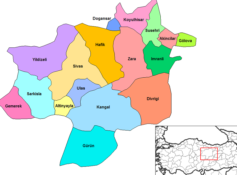
Kangal District Maps
Kangal Google Map, Street Views, Maps Directions, Satellite Images
GuideoftheWorld.net offers a collection of Kangal map, google map, Kangal atlas, political, physical, satellite view, country infos, cities map and more map of Kangal.
Turkey Largest Cities Map by Population
Karabuk Map Karaman Map Kars Map Kastamonu Map Kayseri Map Kirikkale Map Kirklareli Map Kirsehir Map Kilis Map Kocaeli Map Konya Map Kutahya Map Malatya Map Manisa Map Mardin Map Mugla Map Mus Map Nevsehir Map Nigde Map Ordu MapCopyright GuideofTheWorld.Net 2006 - 2023. All rights reserved. Privacy Policy | Disclaimer