
Lenexa Kansas Map
Navigate Lenexa Kansas map, Lenexa Kansas country map, satellite images of Lenexa Kansas, Lenexa Kansas largest cities, towns maps, political map of Lenexa Kansas, driving directions, physical, atlas and traffic maps.
Lenexa Kansas City Town Maps
LENEXA MAP
A Collection of Lenexa Kansas Maps and Lenexa Kansas Satellite Images
LENEXA MAP
LENEXA MAP KANSAS
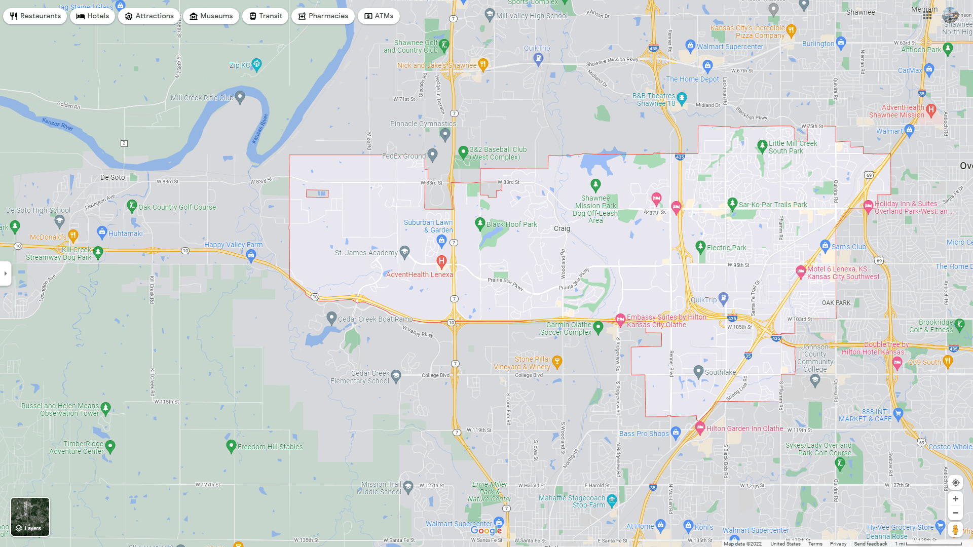
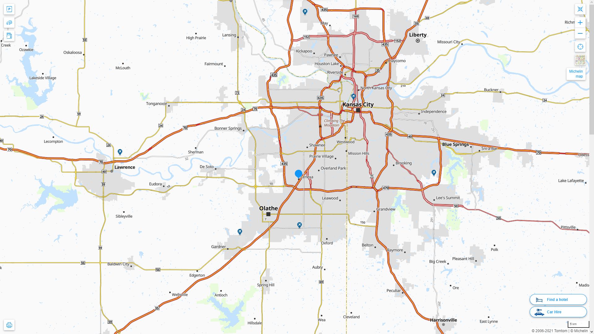
LENEXA DETAILED MAP
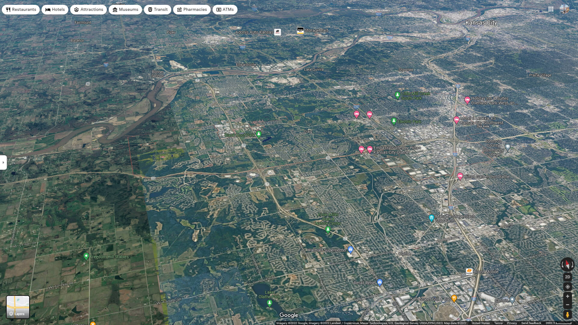
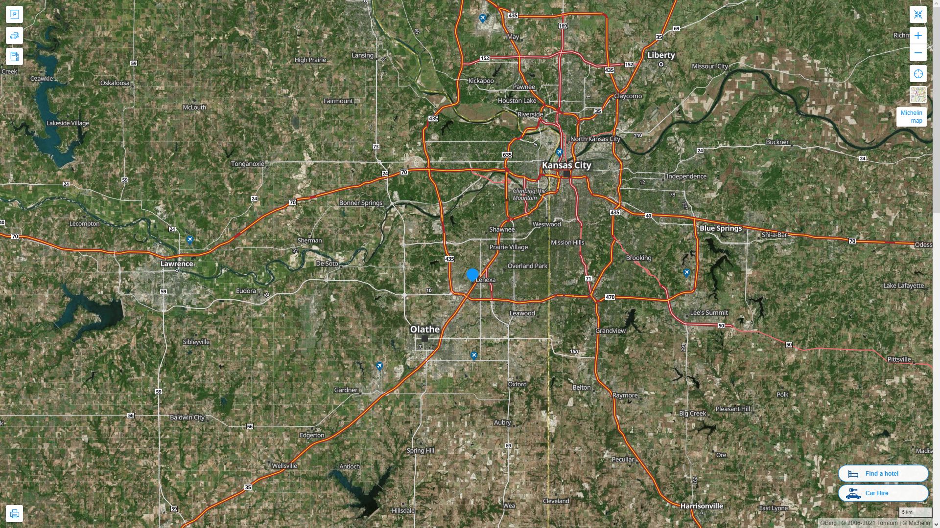
LENEXA AERIAL MAP KANSAS
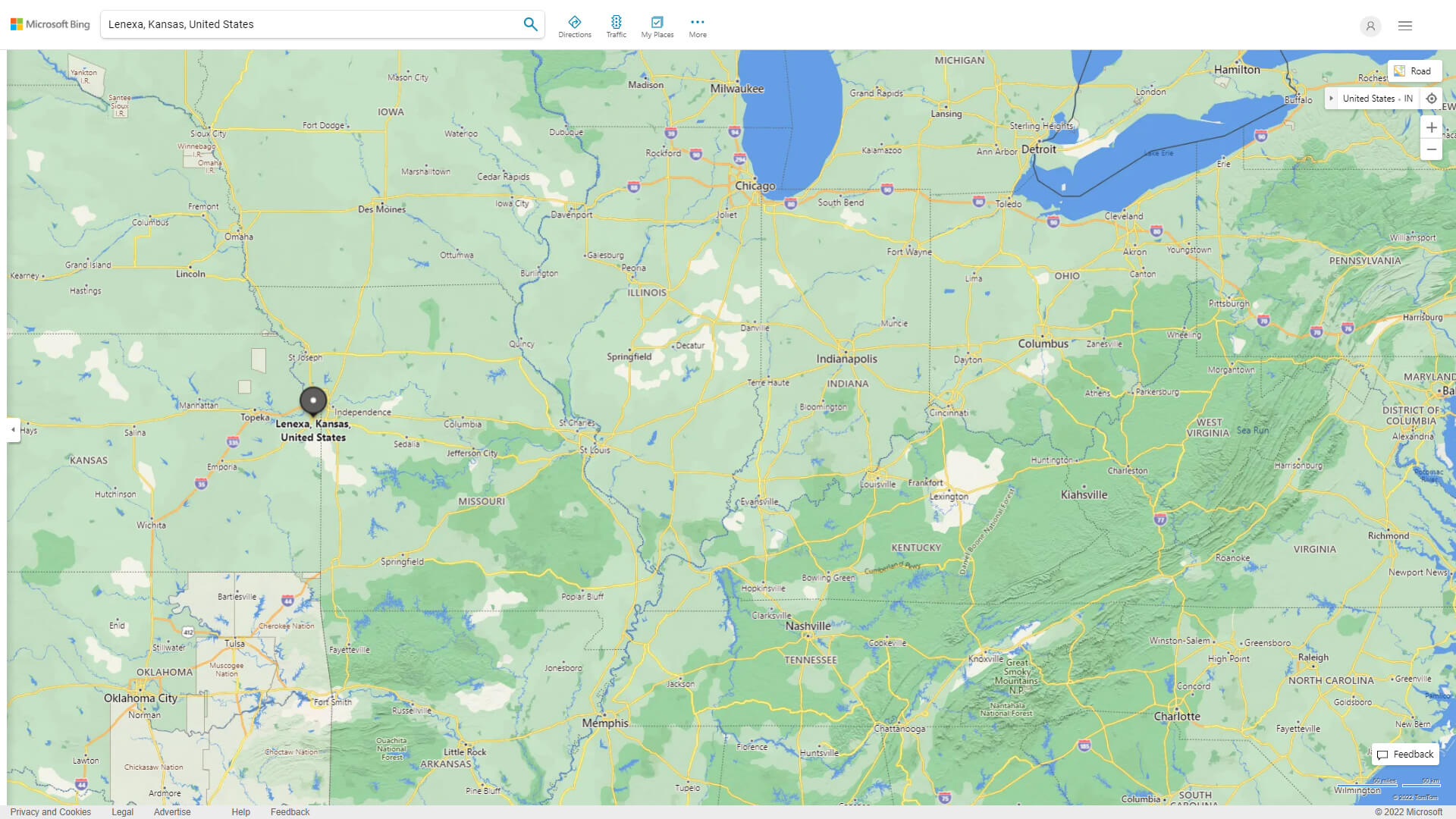
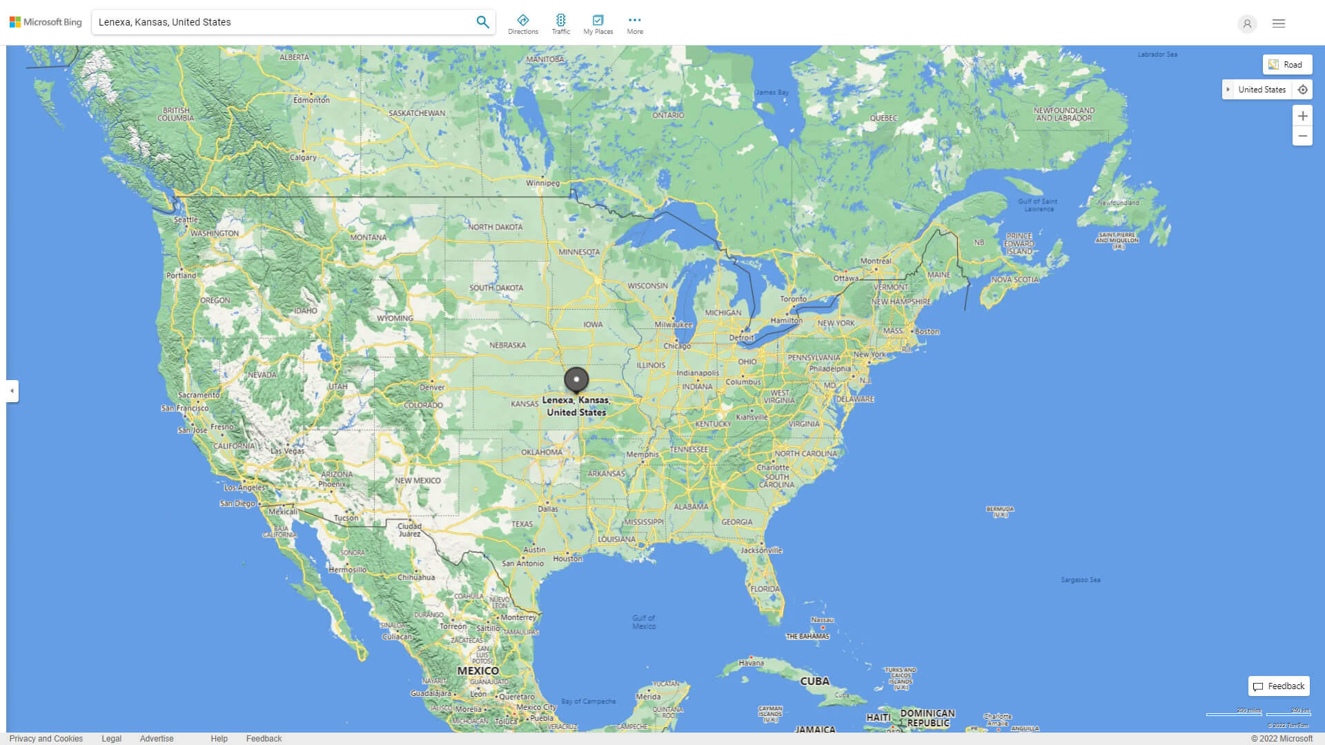
WHERE IS LENEXA IN THE US
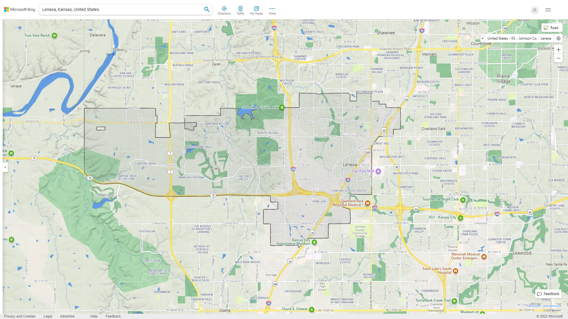
LENEXA KANSAS HIGHWAY AND ROAD MAP WITH SATELLITE VIEW
LENEXA KANSAS HIGHWAY AND ROAD MAP
Largest Kansas Cities by Population
Wichita Kansas Map Overland Park Kansas Map Kansas City Kansas Map Topeka Kansas Map Olathe Kansas Map Lawrence Kansas Map Shawnee Kansas Map Manhattan Kansas Map Lenexa Kansas Map Salina Kansas Map Hutchinson Kansas Map Leavenworth Kansas Map Leawood Kansas Map Dodge City Kansas Map Garden City Kansas MapFor all Kansas Cities Map
Lenexa Kansas Google Map, Street Views, Maps Directions, Satellite Images
GuideoftheWorld.net offers a collection of Lenexa Kansas map, google map, Lenexa Kansas atlas, political, physical, satellite view, country infos, cities map and more map of Lenexa Kansas.
United States Largest Cities Map by Population
New York City Map Los Angeles Map Chicago Map Brooklyn Map Houston Map Philadelphia Map Manhattan Map Phoenix Map San Antonio Map San Diego Map Dallas Map San Jose Map Jacksonville Map Indianapolis Map San Francisco Map Austin Map Columbus Map Fort Worth Map Charlotte Map Detroit MapCopyright GuideofTheWorld.Net 2006 - 2023. All rights reserved. Privacy Policy | Disclaimer